Search
★ 1,498 original pieces ★
Type a place, a mapmaker or a year in the search box above.
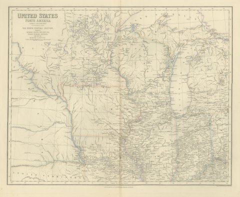
Antique Map of the North Central United States and Lake Michigan, circa 1860
circa 1860
$520
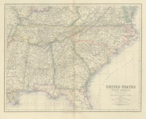
Antique Map of the South Eastern United States with Cape Hatteras, circa 1860
circa 1860
$520
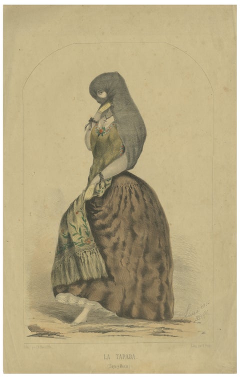
Original Antique Costume Print "La Tapada" of Lima, Peru by A.A. Bonnaffé, 1855
1855
$520
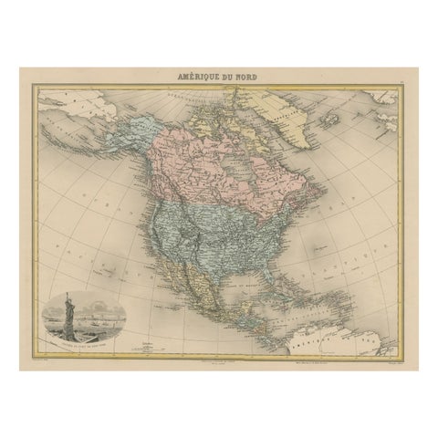
Antique Map of North America with Vignette of the Statue of Liberty, New York
circa 1875
$515
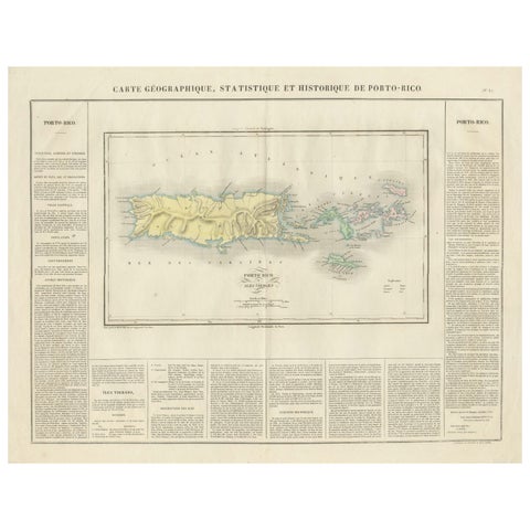
1825 Buchon Map of Puerto Rico & Virgin Islands with Detailed Colonial History
1825
$515
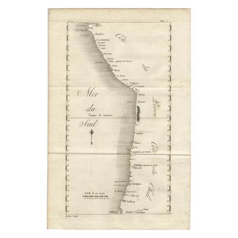
Antique Map of the Coast of Peru and Chile – Detailing Ports & Coastlines, c1760
circa 1760
$515
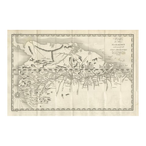
Antique Map of the Amazon River – Maragnon or River of the Amazons, c.1760
1760
$515
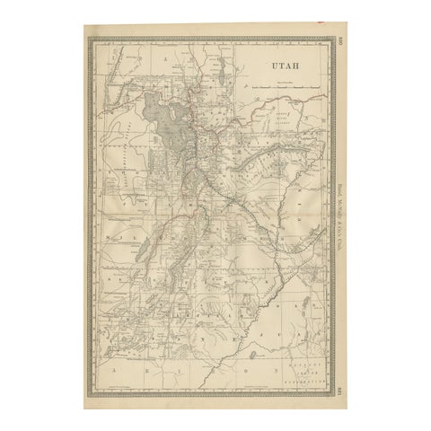
Rare 1888 Utah Map – The Beehive State’s Railroads, Counties & Great Salt Lake
1888 · Rand McNally
$515
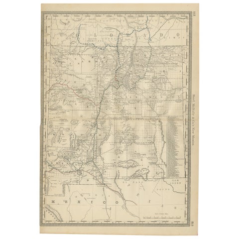
1888 New Mexico Map – Railroads, Counties & The Land of Enchantment
1888 · Rand McNally
$515
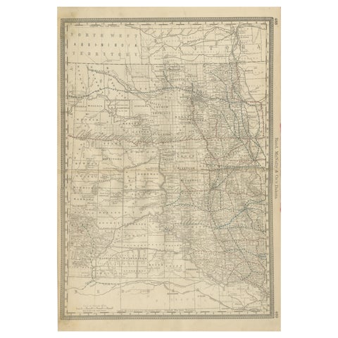
Dakota Territory Railroad Map 1888 – Rand McNally Antique Lithograph
1888 · Rand McNally
$515
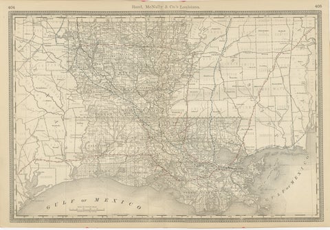
Louisiana Antique Map 1888 – The Pelican State, Railroads & Counties
1888 · Rand McNally
$515
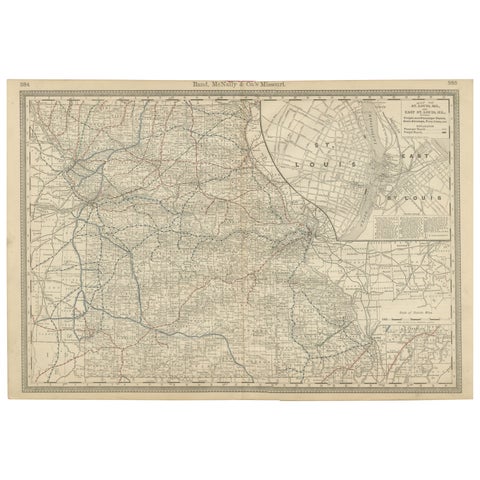
Antique Map of Missouri – The Show-Me State with St. Louis Inset, 1888
1888 · Rand McNally
$515
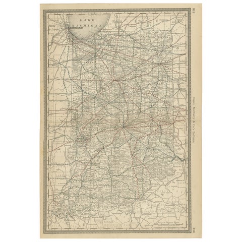
Antique Map of Indiana – The Hoosier State with Railroads & Counties, 1888
1888 · Rand McNally
$515
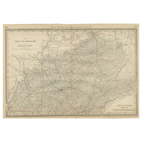
Antique Map of Kentucky & Tennessee – The Bluegrass & Volunteer States, 1888
1888 · Rand McNally
$515
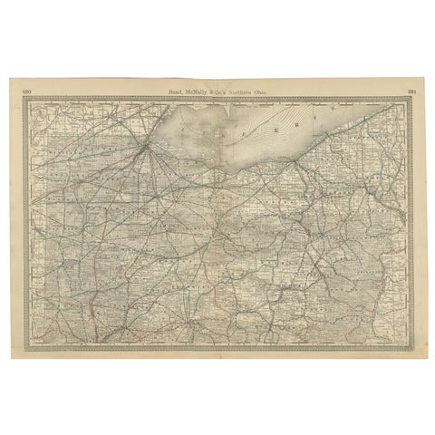
Antique Map of Northern Ohio – The Buckeye State with Railroads & Counties, 1888
1888 · Rand McNally
$515
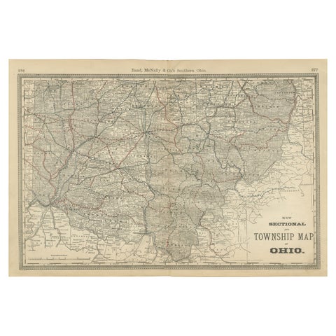
Antique Map of Southern Ohio – The Buckeye State - Railroads & Townships, 1888
1888 · Rand McNally
$515
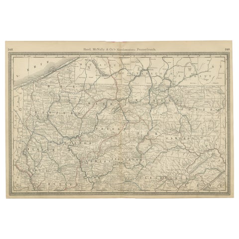
Pennsylvania Antique Map c.1888 – The Keystone State, Northwestern Counties
1888 · Rand McNally
$515
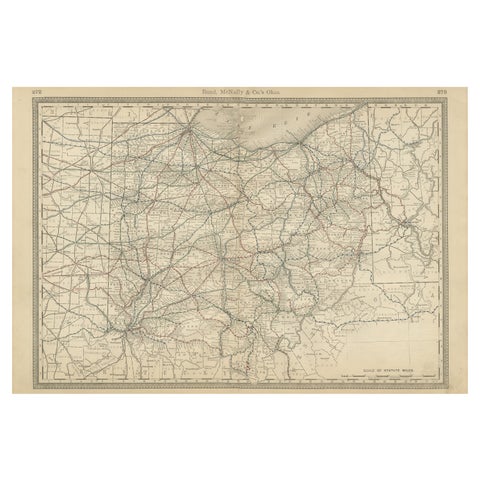
Antique Ohio Map c.1888 – Buckeye State Railroads, Towns & Settlements
1888 · Rand McNally
$515
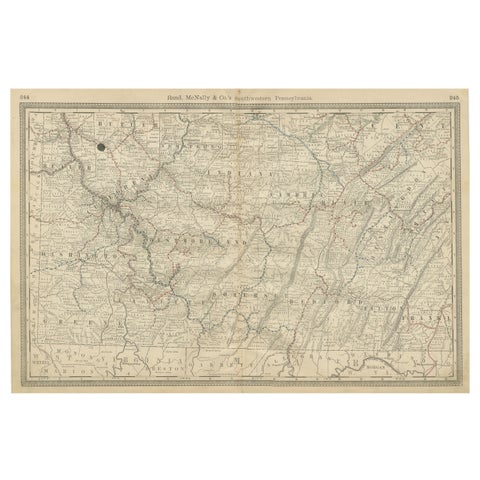
Southwestern Pennsylvania Antique Map c.1888 – Keystone State Counties & Cities
1888 · Rand McNally
$515
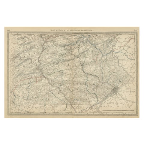
Pennsylvania 1888 Antique Map – The Keystone State, Southeastern Railroads
1888 · Rand McNally
$515
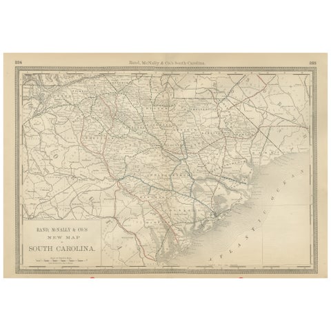
South Carolina Antique Map c.1888 – The Palmetto State, Railroads & Counties
1888 · Rand McNally
$515
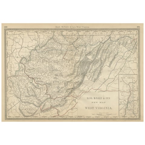
West Virginia Antique Railroad Map c.1888 – Mountain State Counties & Towns
1888 · Rand McNally
$515
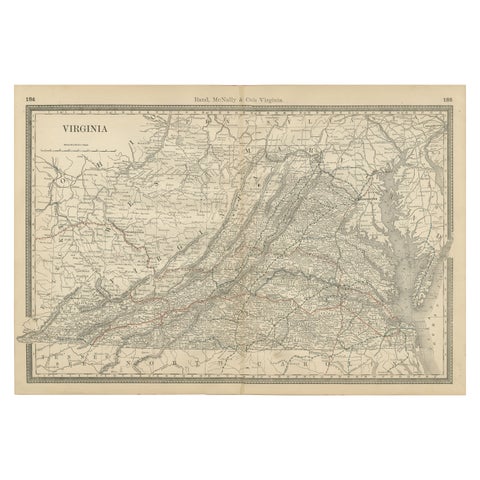
Antique Virginia Map c.1888 – Railroads, Towns & The Old Dominion
1888 · Rand McNally
$515
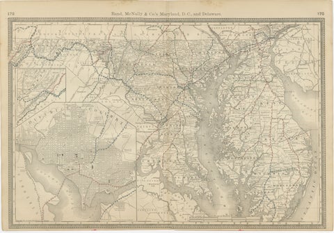
Maryland, D.C. & Delaware Antique Map – Old Line State Railroads, c.1888
1888 · Rand McNally
$515