Search
★ 1,496 original pieces ★
Type a place, a mapmaker or a year in the search box above.
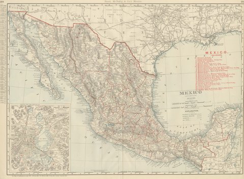
Antique Map of Mexico, with Valley of Mexico Inset, Rand McNally, 1899
1899 · Rand McNally
$440
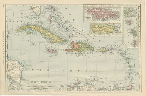
Antique Map of the West Indies, with Cuba, Jamaica and Puerto Rico, 1899
1899 · Rand McNally
$440
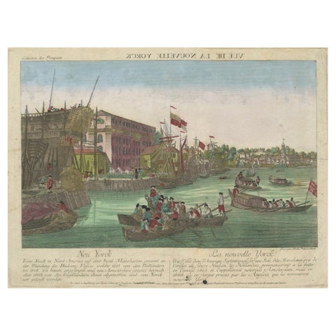
Optical View of New York City Manhattan Harbor Hand-Colored Augsburg - ca.1775
1775
$440
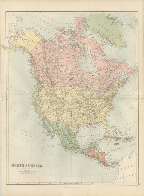
Antique North America Map, Canada, USA, Mexico, Bartholomew, 1884
1884 · Adam & Charles Black
$440
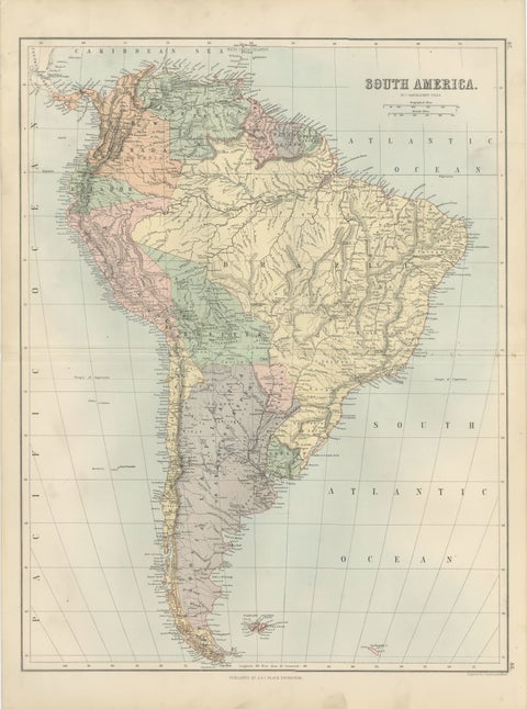
Antique South America Map, Brazil, Argentina, Chile, Bartholomew, 1884
1884 · Adam & Charles Black
$440
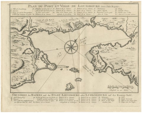
Plan of Louisbourg Harbor and Fortress, Cape Breton Island, c.1756
1756 · Jacques-Nicolas Bellin
$440
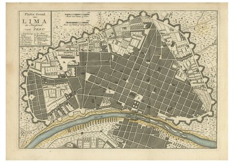
Antique Map of Lima Peru by Isaak Tirion – City Plan with Fortifications, 1769
1769
$440
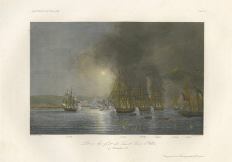
French Capture of San Juan de Ulúa, Mexico after Gudin, c.1840
1840
$440
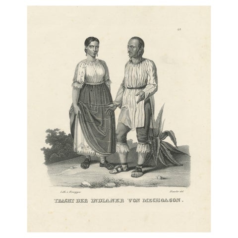
Antique Steel Engraved Print showing Natives of Michoacan, Mexico, ca.1845
1845
$435
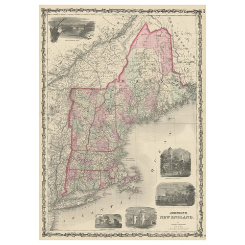
Large Antique Map of New England with decorative Vignettes
1861
$435
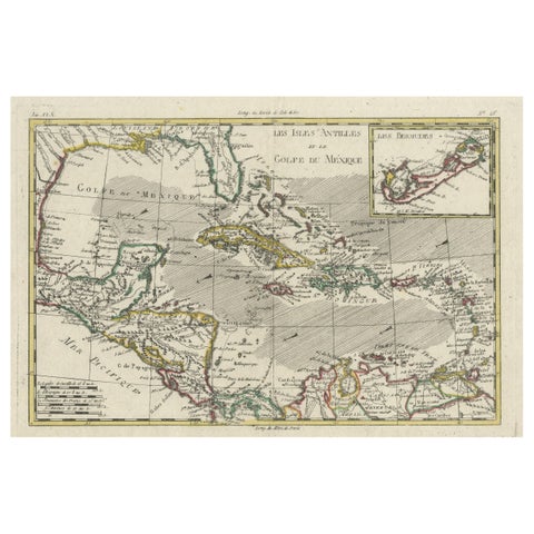
Original Engraving of the West Indies, Gulf of Mexico, Antilles, Caribbean, 1780
1780 · Rigobert Bonne
$435
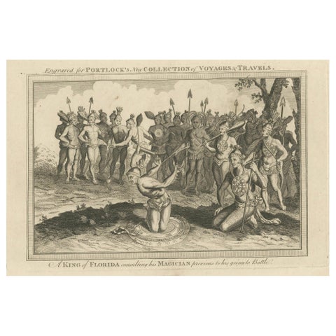
Pre-Battle Rituals: The King of Florida and His Magician, ca.1780
1780
$435
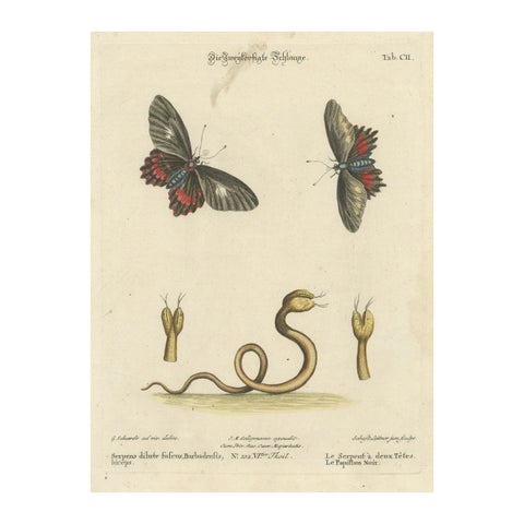
The Two-Headed Serpent and the Black Butterfly, 1749
1749
$435
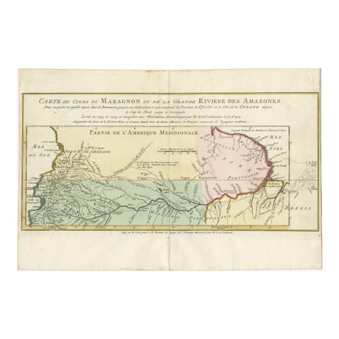
Map of the Amazon River's Course and Surrounding Regions (1743-1744)
1743
$435
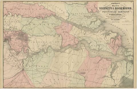
1862 Johnson's Map of the Vicinity of Richmond & Peninsular Campaign, Virginia
1862
$435
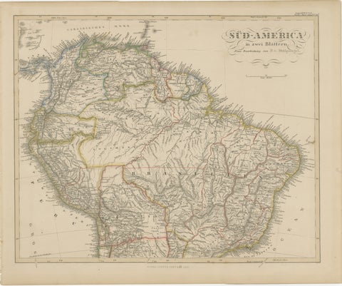
1857 Map of Northern South America – Brazil, Colombia, Peru by Stülpnagel
1857
$435
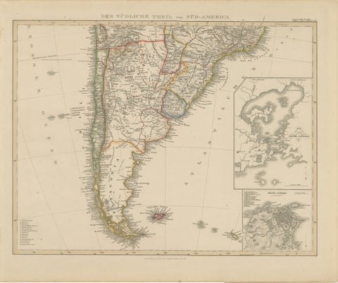
1857 Map of Southern South America – Argentina, Chile, Rio de Janeiro
1857
$435
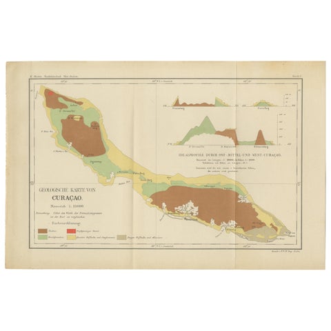
Antique Geological Map of Curaçao - Hand Colored Dutch Caribbean, 1888
1888
$435
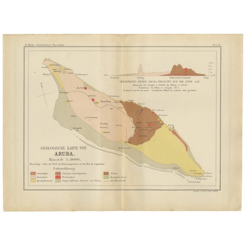
Antique Geological Map of Aruba - Dutch West Indies by Karl Martin, 1888
1888
$435
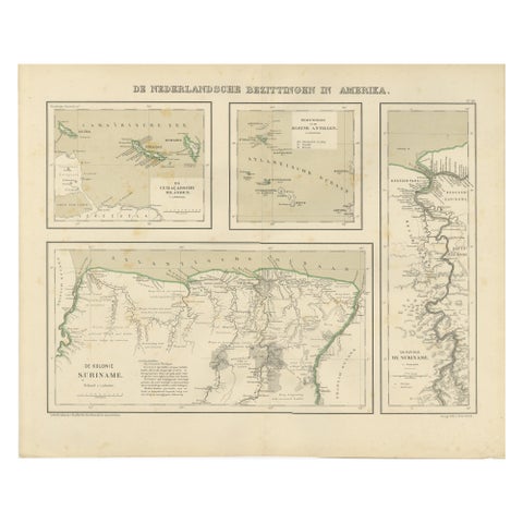
Antique Map of Dutch Colonies in the Caribbean & Suriname by Dornseiffen, 1884
1884
$435
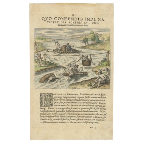
America, River Crossing by Indigenous People with Rafts and Canoes, De Bry, 1594
1594 · Theodor de Bry
$435
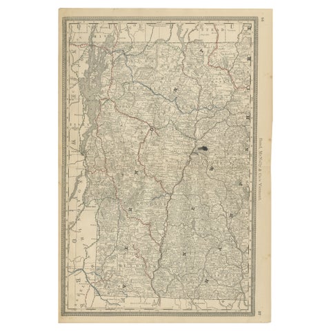
Antique Vermont Map Wall Art – Railroads, Mountains & Towns, Rand McNally, 1888
1888 · Rand McNally
$435
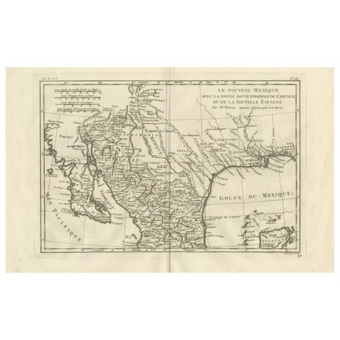
New Mexico & Northern New Spain – Enlightenment Map by Rigobert Bonne, c.1780
1780 · Rigobert Bonne
$435
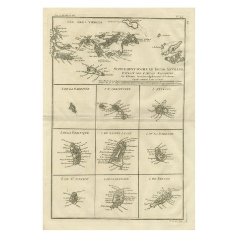
Antique Caribbean Map, Virgin Islands and Antilles Atlas Sheet, Bonne c.1780
1780 · Rigobert Bonne
$435