Original antique maps & prints of
California
★ 2 original pieces ★
Drawn as an island on many seventeenth-century maps, California joined the Union in 1850, two years after gold was found at Sutter's Mill. We currently hold 2 original sheets of California, published between 1701 and 1987. Of these, 11 are maps and 31 are views and prints.
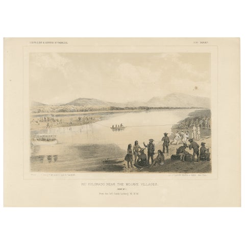
Scenic View of the Rio Colorado Near Mojave Villages, Historical Encounter, 1856
1856
$245
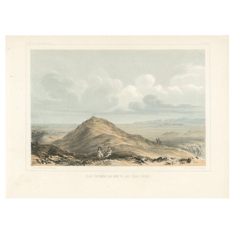
Expansive View of the Plains Between Kah-Wee-Ya and Kings Rivers, 1856
1856
$245
★
More of The Pacific Coast