Original antique maps & prints of
California
★ 11 original pieces ★
Drawn as an island on many seventeenth-century maps, California joined the Union in 1850, two years after gold was found at Sutter's Mill. We currently hold 11 original sheets of California, published between 1701 and 1987. Of these, 11 are maps and 31 are views and prints. The earliest is Old Map of the Overland Route to California – Early Exploration Pathways, 1701.
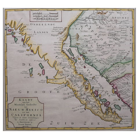
Original Antique Map of the Western Part of NEW MEXICO & CALIFORNIA
1765
$1,455
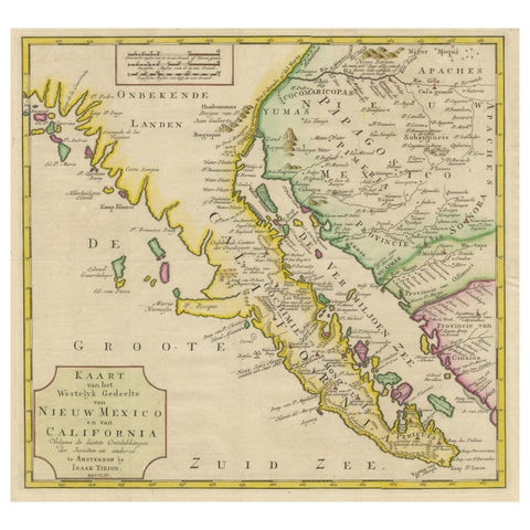
Antique Map of Baja California and parts of Alta California, Arizona and Sonora
1765
$1,110
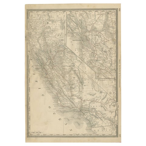
1888 California Map – The Golden State’s Railroads, Cities & Counties
1888 · Rand McNally
$605
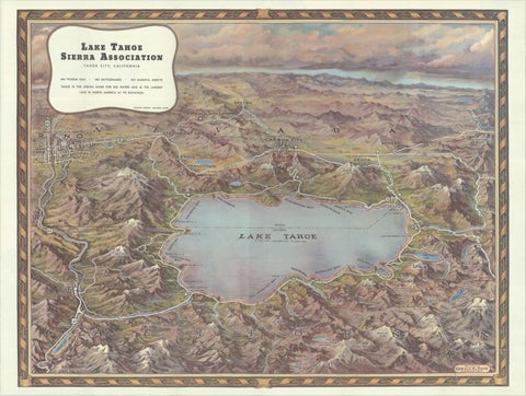
Vintage Lake Tahoe Bird’s-Eye View Pictorial Map by Gerald A. Eddy, circa 1945
1945
$605
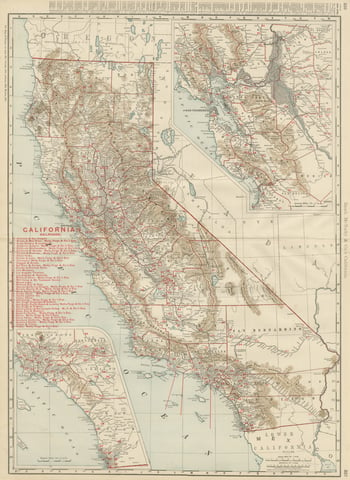
Antique Map of California, The Golden State, Rand McNally, 1899
1899 · Rand McNally
$555
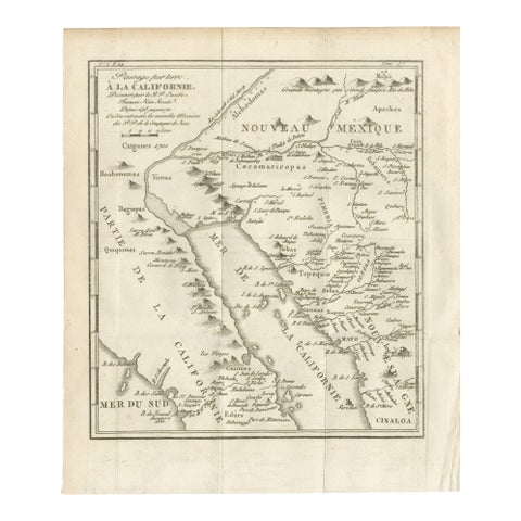
Old Map of the Overland Route to California – Early Exploration Pathways, 1701
1701
$550
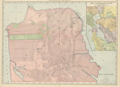
Antique Map of San Francisco, with Golden Gate Park, Rand McNally, 1899
1899 · Rand McNally
$500
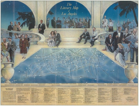
Vintage Literary Map of Los Angeles by Linda Ayriss, 1987
1987
$500
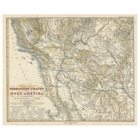
Antique Map of Part of the United States Including Lower California & Arizona
circa 1879 · Stieler
$490
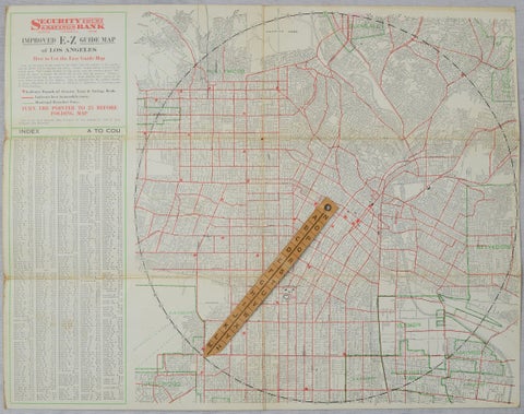
Antique E-Z Guide Map of Los Angeles with Rotating Locator, 1927
1927
$490
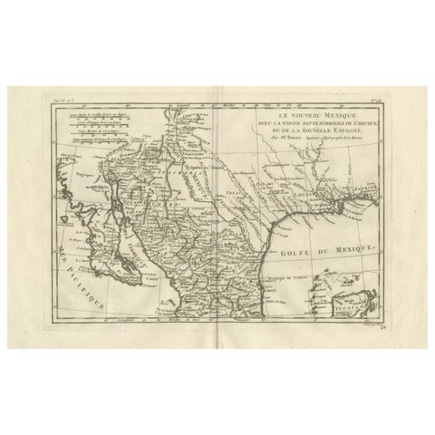
New Mexico & Northern New Spain – Enlightenment Map by Rigobert Bonne, c.1780
1780 · Rigobert Bonne
$435
★
More of The Pacific Coast