Original antique maps & prints of
California
★ 3 original pieces ★
Drawn as an island on many seventeenth-century maps, California joined the Union in 1850, two years after gold was found at Sutter's Mill. We currently hold 3 original sheets of California, published between 1701 and 1987. Of these, 11 are maps and 31 are views and prints. The earliest is Old Map of the Overland Route to California – Early Exploration Pathways, 1701.
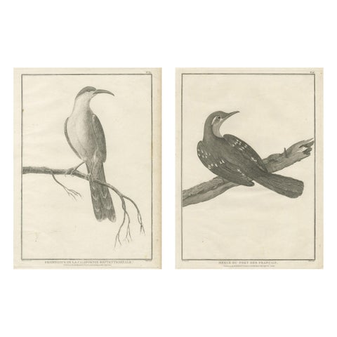
California Birds – Northern California Honeyeater & Port Français Thrush, c.1798
1798 · La Perouse
$490
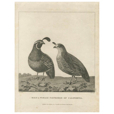
California Quail Pair – Partridge Couple of California, Antique Bird Print, 1798
1798
$300
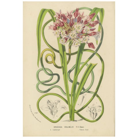
Twining Brodiaea Botanical Illustration by Louis van Houtte, 19th Century
$155
★
More of The Pacific Coast