Original antique maps & prints of
Louisiana
★ 10 original pieces ★
French, then Spanish, then French again before the Louisiana Purchase of 1803. The state of Louisiana was admitted in 1812. We currently hold 10 original sheets of Louisiana, published between 1780 and 1900. Of these, 8 are maps and 2 are views and prints. The earliest is New Mexico & Northern New Spain – Enlightenment Map by Rigobert Bonne, c.1780.
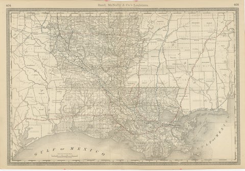
Louisiana Antique Map 1888 – The Pelican State, Railroads & Counties
1888 · Rand McNally
$515
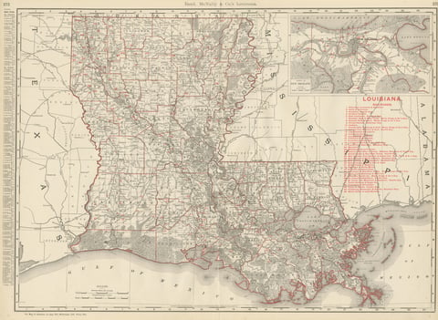
Antique Map of Louisiana, The Pelican State, Rand McNally, 1899
1899 · Rand McNally
$440
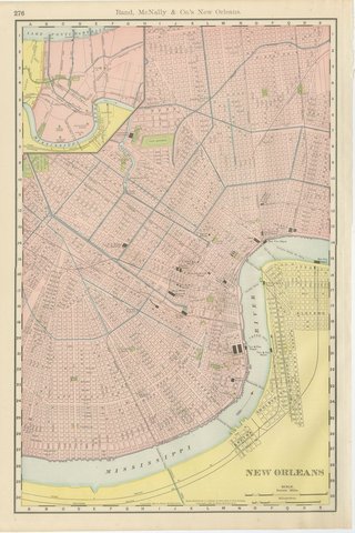
Antique Map of New Orleans, The Crescent City, Rand McNally, 1899
1899 · Rand McNally
$440
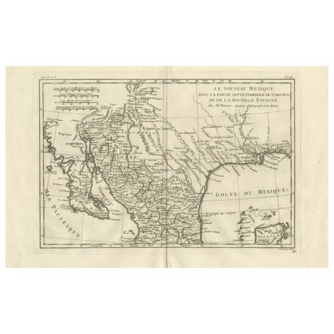
New Mexico & Northern New Spain – Enlightenment Map by Rigobert Bonne, c.1780
1780 · Rigobert Bonne
$435
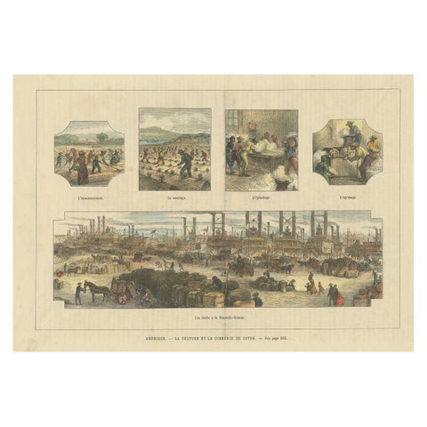
Antique Print Showing the Cotton Cultivation and Trade in America, Ca.1900
1900
$425
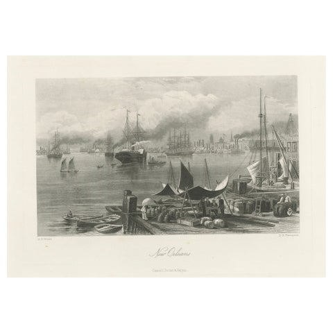
New Orleans Harbor, Mississippi River Shipping and Steamers – Engraving ca.1850
1850
$390
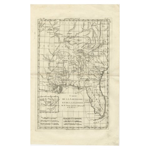
Antique Map Louisiana & Mississippi Valley, Florida Region, Bonne c.1780
1780 · Rigobert Bonne
$390
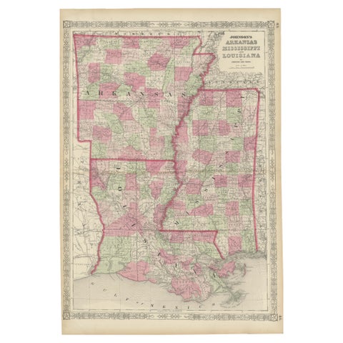
Rare 1864 Civil War Era Map of Arkansas, Mississippi, and Louisiana
1864
$380
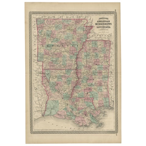
Antique Map of Arkansas, Mississippi and Louisiana by Johnson, 1872
1872 · A. J. Johnson
$280
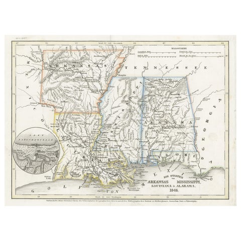
Antique Map of the Southern United States with Inset Map of New Orleans
1846 · Meyer
$155
★
More of The South