Original antique maps & prints of
South Carolina
★ 6 original pieces ★
The Carolinas were granted by royal charter in 1663, and Charles Town, today Charleston, was founded in 1670. We currently hold 6 original sheets of South Carolina, published between 1642 and 1899. Of these, 5 are maps and 1 is a view or print. The earliest is Blaeu Virginia and Florida Map – Decorative Early America Chart, 1642.
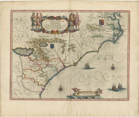
Blaeu Virginia and Florida Map – Decorative Early America Chart, 1642
1642 · Blaeu
$5,875
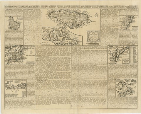
Rare French Colonial America Map, Jamaica Barbados Carolina, c.1719
1719
$1,450
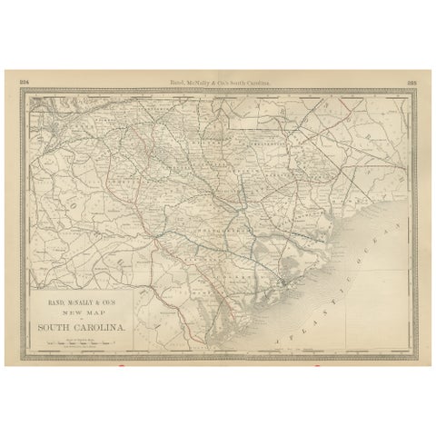
South Carolina Antique Map c.1888 – The Palmetto State, Railroads & Counties
1888 · Rand McNally
$515
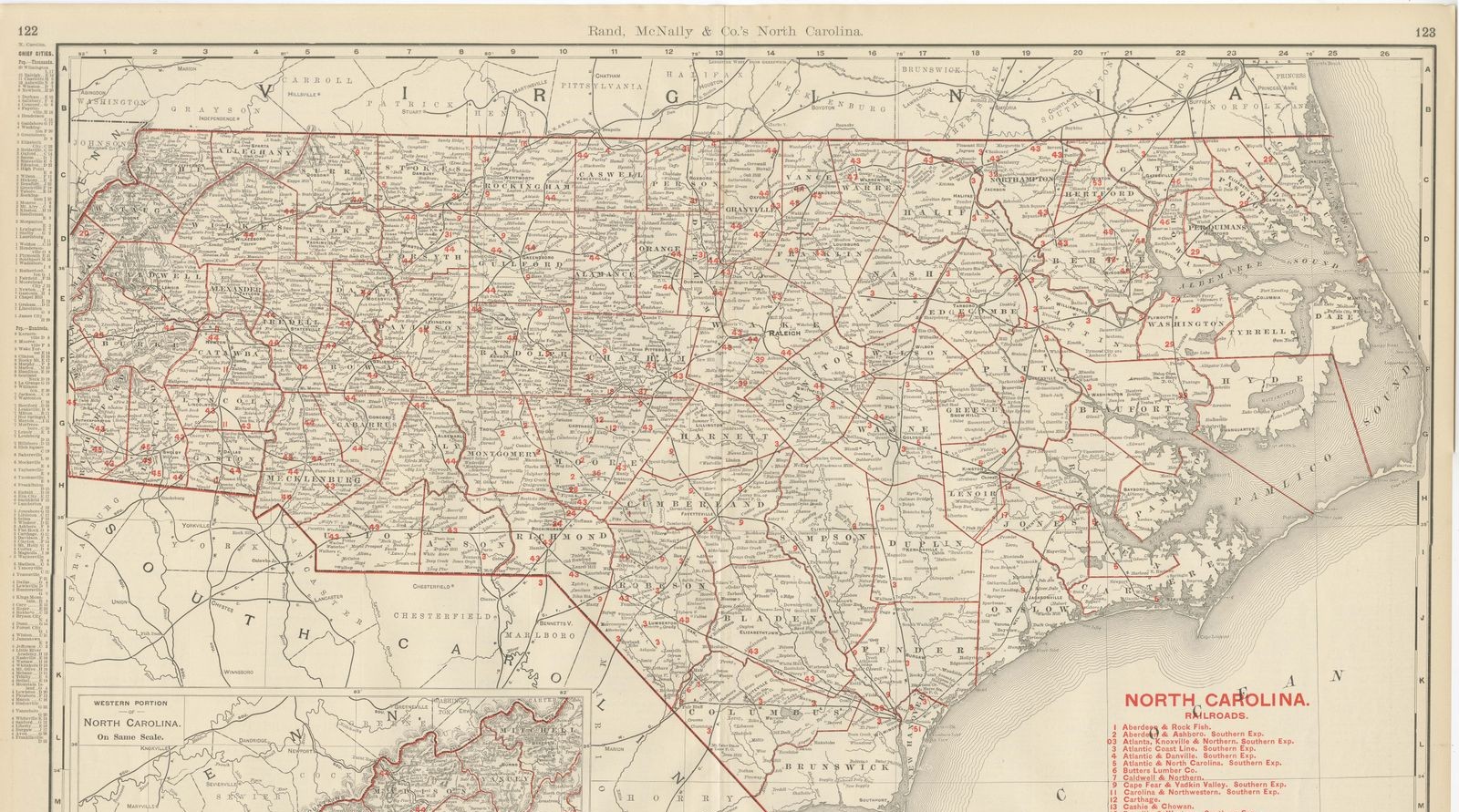
Antique Map of North Carolina, The Tar Heel State, Rand McNally, 1899
1899 · Rand McNally
$440
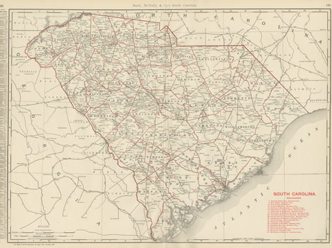
Antique Map of South Carolina, The Palmetto State, Rand McNally, 1899
1899 · Rand McNally
$440
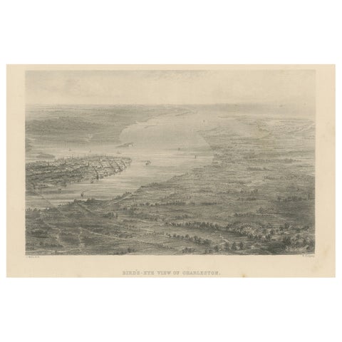
Bird’s-Eye View of Charleston, South Carolina – Panoramic City Engraving, 19th C
$245
★
More of The South