Original antique maps & prints of
West Virginia
★ 6 original pieces ★
West Virginia broke away from Virginia during the Civil War and was admitted as a state in 1863. We currently hold 6 original sheets of West Virginia, published between 1872 and 1899. Of these, 5 are maps and 1 is a view or print. The earliest is Antique Map of Virginia, Delaware, Maryland & West Virginia by Johnson, 1872.

Antique Map of the Coal Fields of the United States by Walker '1874'
1874
$760
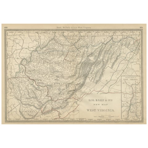
West Virginia Antique Railroad Map c.1888 – Mountain State Counties & Towns
1888 · Rand McNally
$515
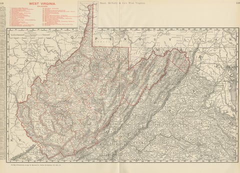
Antique Map of West Virginia, The Mountain State, Rand McNally, 1899
1899 · Rand McNally
$385
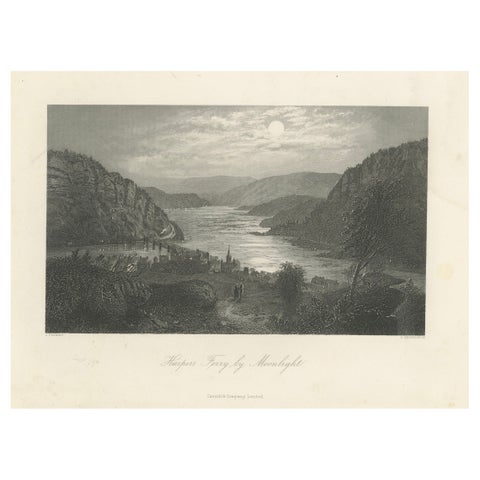
Harper’s Ferry by Moonlight, Potomac River Night View – Antique Engraving, 1872
1872
$345
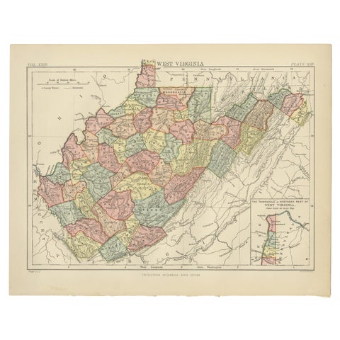
Antique Map of Virginia, with Inset Map of the Northern Part, 1888
1888
$325
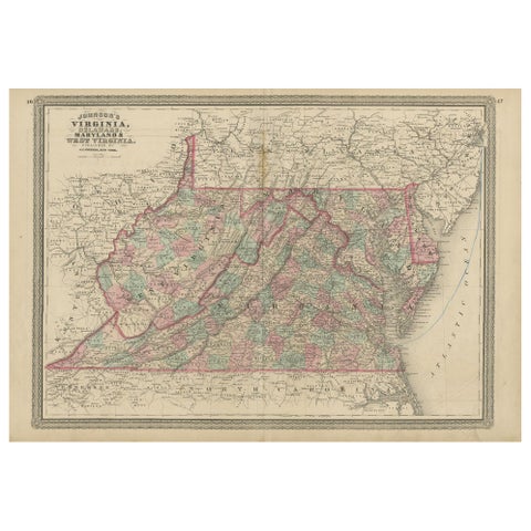
Antique Map of Virginia, Delaware, Maryland & West Virginia by Johnson, 1872
1872 · A. J. Johnson
$280
★
More of The South