Original antique maps & prints of
Maryland
★ 9 original pieces ★
Granted to Lord Baltimore in 1632, Maryland and its Chesapeake shoreline are among the most finely drawn subjects of colonial mapping. We currently hold 9 original sheets of Maryland, published between 1642 and 1899. The earliest is Antique Virginia Map Blaeu c.1642 – Jamestown, Powhatan, Chesapeake.
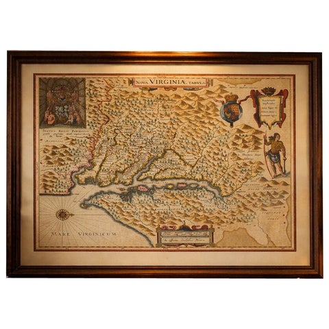
Antique Virginia Map Blaeu c.1642 – Jamestown, Powhatan, Chesapeake
1642 · Blaeu
$8,115
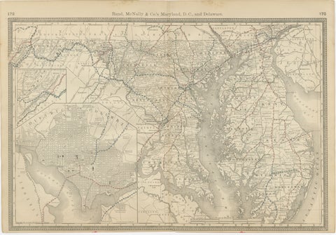
Maryland, D.C. & Delaware Antique Map – Old Line State Railroads, c.1888
1888 · Rand McNally
$515
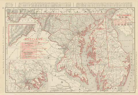
Antique Map of Maryland and Delaware, with Baltimore Inset, Rand McNally, 1899
1899 · Rand McNally
$385
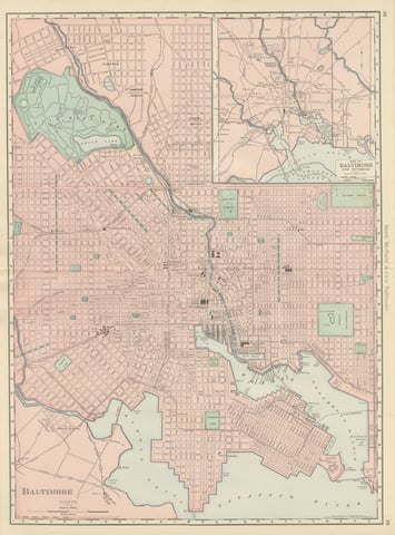
Antique Map of Baltimore, with Druid Hill Park, Rand McNally, 1899
1899 · Rand McNally
$385
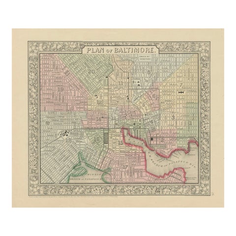
Plan of Baltimore City Map, USA c.1870 – Hand-Colored Street Plan
1870
$360
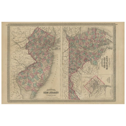
Antique Map of New Jersey, Delaware and Maryland by Johnson, 1872
1872 · A. J. Johnson
$335
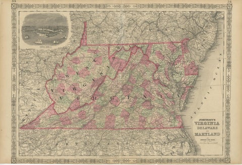
1864 Johnson's Map of Virginia, Delaware, and Maryland with Fort Monroe Inset
1864
$335
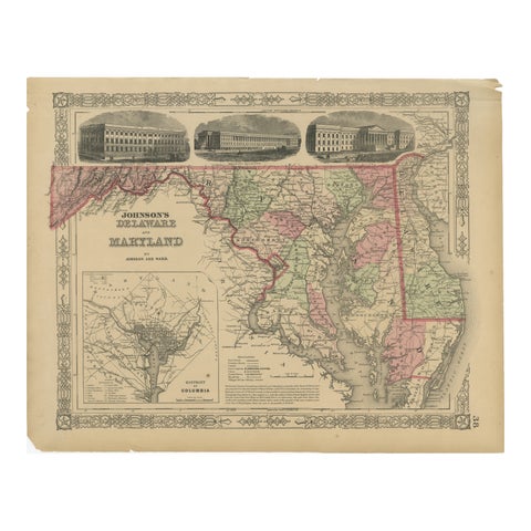
Delaware and Maryland Map – Johnson, Hand-Colored with Insets, 1864
1864
$300
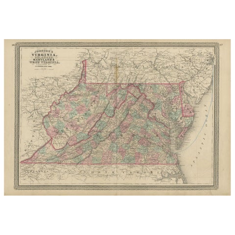
Antique Map of Virginia, Delaware, Maryland & West Virginia by Johnson, 1872
1872 · A. J. Johnson
$280
★
More of Mid-Atlantic