Original antique maps & prints of
Michigan
★ 5 original pieces ★
Bordered by four of the five Great Lakes, Michigan was admitted as a state in 1837. We currently hold 5 original sheets of Michigan, published between 1870 and 1899. Of these, 5 are maps and 1 is a view or print. The earliest is Antique Map of Western States, Michigan, Wisconsin, Iowa by A & C. Black, 1870.

Antique Map of the Coal Fields of the United States by Walker '1874'
1874
$760
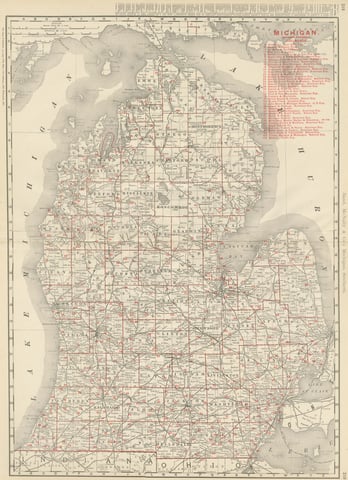
Antique Map of Michigan, The Great Lakes State, Rand McNally, 1899
1899 · Rand McNally
$440
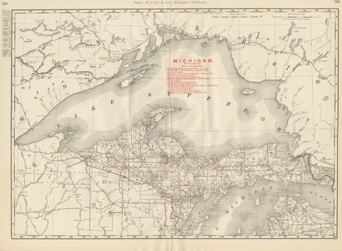
Antique Map of Northern Michigan and Lake Superior, Copper Country, 1899
1899 · Rand McNally
$385
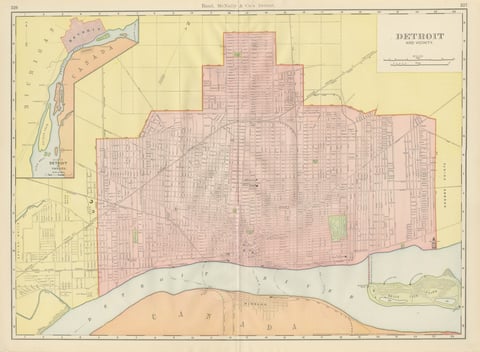
Antique Map of Detroit, with Belle Isle Park, Rand McNally, 1899
1899 · Rand McNally
$385
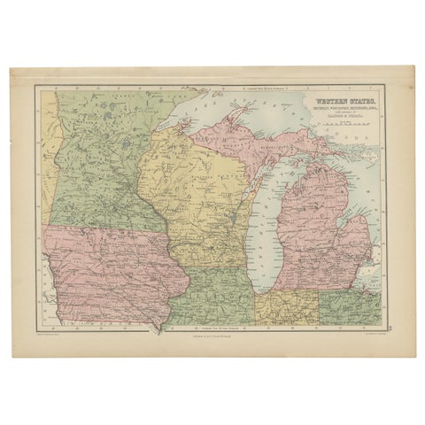
Antique Map of Western States, Michigan, Wisconsin, Iowa by A & C. Black, 1870
1870 · Adam & Charles Black
$195
★
More of The Midwest