Original antique maps & prints of
Montana
★ 4 original pieces ★
Montana was organized as a territory in 1864 and admitted as a state in 1889. We currently hold 4 original sheets of Montana, published between 1840 and 1899. Of these, 1 is a map and 14 are views and prints. The earliest is Antique Print of Hills on the Upper Missouri Made after Bodmer, circa 1840.
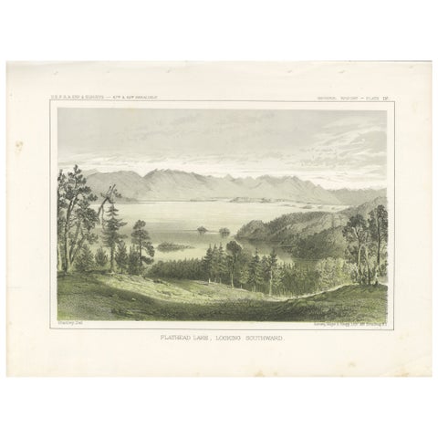
Serene View of Flathead Lake and Surrounding Mountains in Montana, Litho of 1856
1856
$245
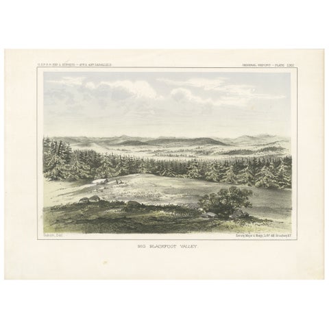
Expansive View of Big Blackfoot Valley – American Frontier Lithograph, 1856
1856
$245
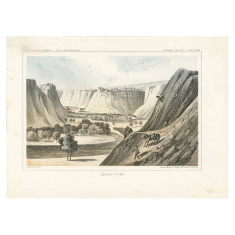
Majestic View of the Marias River Canyon by Great Falls, Montana - Litho of 1856
1856
$245
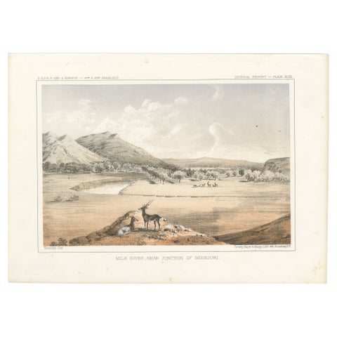
Scenic View of Milk River and Missouri Junction with Wildlife - Lithograph 1856
1856
$245
★
More of The Mountain West