Original antique maps & prints of
Montana
★ 7 original pieces ★
Montana was organized as a territory in 1864 and admitted as a state in 1889. We currently hold 7 original sheets of Montana, published between 1840 and 1899. Of these, 1 is a map and 14 are views and prints. The earliest is Antique Print of Hills on the Upper Missouri Made after Bodmer, circa 1840.
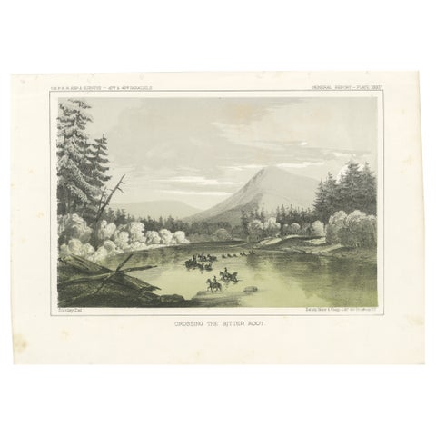
Crossing the Bitter Root River in Western Montana, USA - Tinted Lithograph, 1856
1856
$245
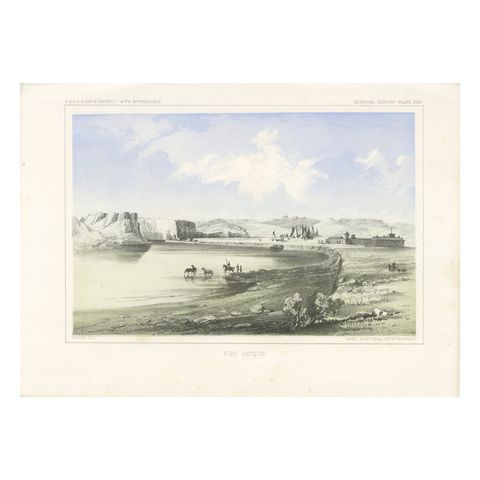
Historic Fort Benton Along the Missouri River – 19th Century Lithograph Print
$245
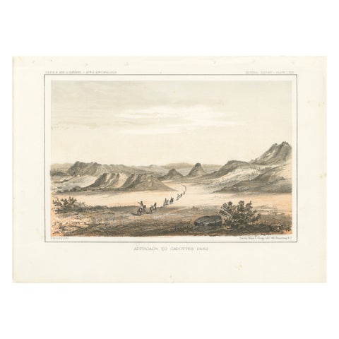
Scenic Expedition to Cadotte’s Pass in the Rocky Mountains, Tinted Litho of 1856
1856
$245
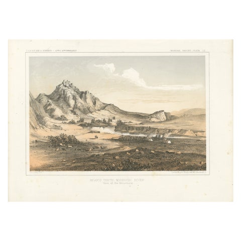
Depiction of Bear’s Teeth at the Missouri River - Gateway to the Rockies, 1856
1856
$245
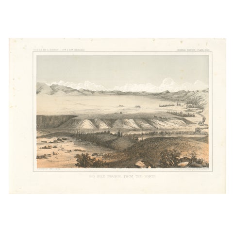
Big Hole Prairie View – Scenic Montana Landscape Print, Published in 1856
1856
$245
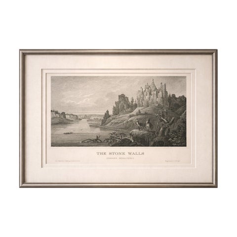
Stone Walls Upper Missouri Antique Print, River Landscape Wildlife c.1850
1850
$245
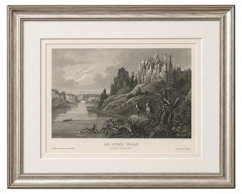
Missouri River Stone Walls, Antique Steel Engraving c.1850
1850
$195
★
More of The Mountain West