Original antique maps & prints of
North Dakota
★ 10 original pieces ★
Dakota Territory was organized in 1861 and divided into North and South Dakota, both admitted in 1889. We currently hold 10 original sheets of North Dakota, published between 1840 and 1899. Of these, 3 are maps and 7 are views and prints. The earliest is Antique Print of Hills on the Upper Missouri Made after Bodmer, circa 1840.
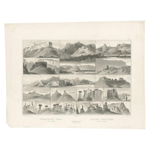
Antique Print of Hills on the Upper Missouri Made after Bodmer, circa 1840
1840 · Karl Bodmer
$840
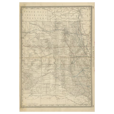
Dakota Territory Railroad Map 1888 – Rand McNally Antique Lithograph
1888 · Rand McNally
$515
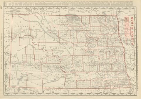
Antique Map of North Dakota, with Fort Berthold Reservation, Rand McNally, 1899
1899 · Rand McNally
$385
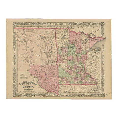
Minnesota and Dakota Map – Johnson, Hand-Colored, USA c.1864
1864
$325
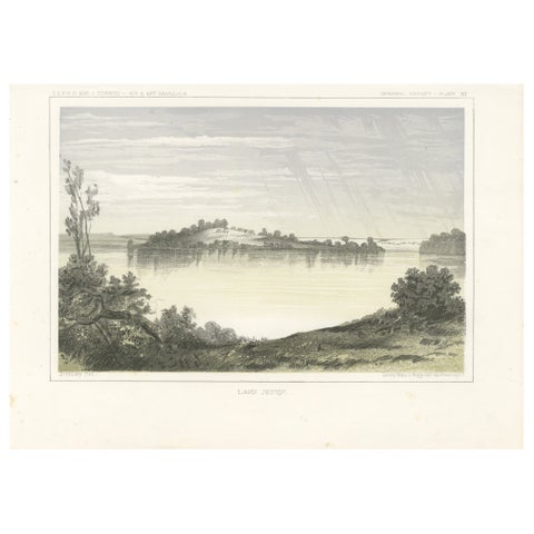
Serene Landscape of Lake Jessie in Dakota - Tinted Lithgraph Published in 1856
1856
$245
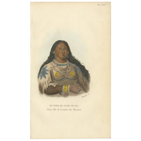
Antique Print of a Young Girl of the Mandan Tribe '1' by Prichard, 1843
1843
$170
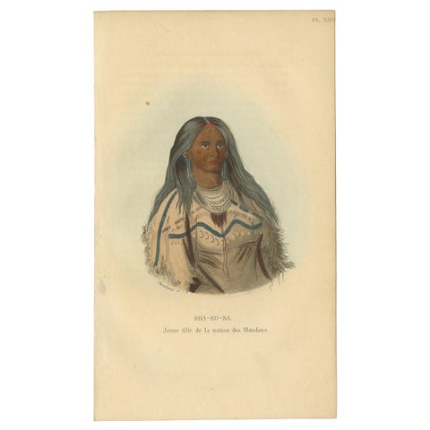
Antique Print of a Young Girl of the Mandan Tribe '2' by Prichard, 1843
1843
$170
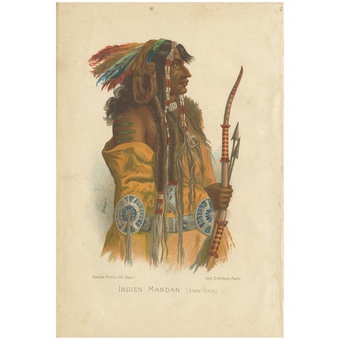
Antique Print of a Mandan Indian by Grégoire, '1883'
1883
$170
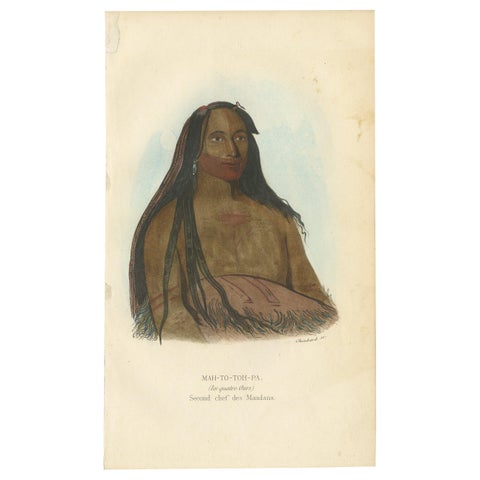
Antique Print of the Second Chief of the Mandan Tribe by Prichard, '1843'
1843
$135
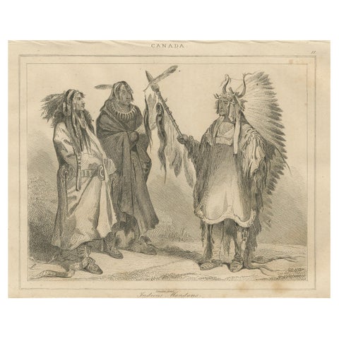
Mandan Warriors and Chief – 19th Century Ethnographic Print of Indigenous Canada
circa 1850
$125
★
More of The Great Plains