Original antique maps & prints of
The Great Plains
★ 32 original pieces ★
Kansas, Nebraska, the Dakotas and Oklahoma, including Indian Territory, from open grassland to the railroad townships of the 1880s.
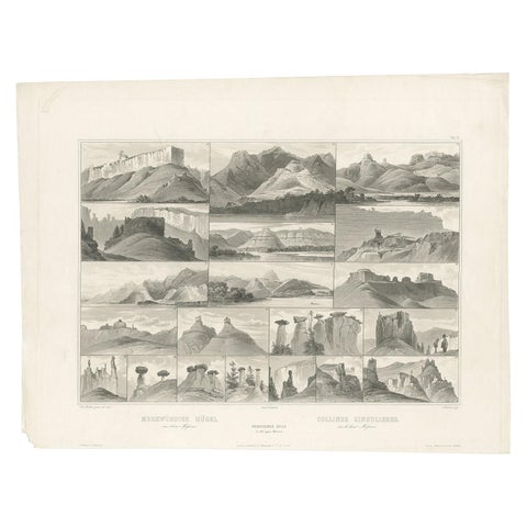
Antique Print of Hills on the Upper Missouri Made after Bodmer, circa 1840
1840 · Karl Bodmer
$840
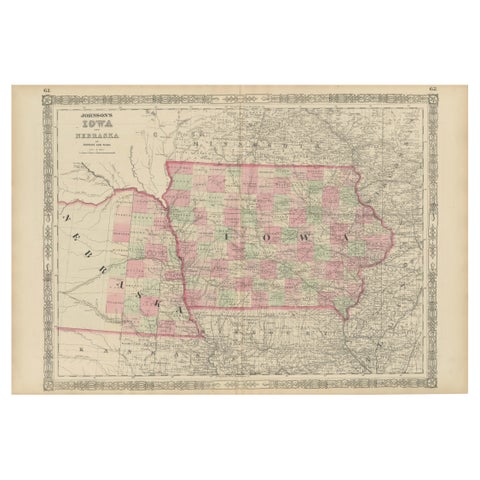
Vintage 1862 Map of Iowa and Nebraska – Decorative Atlas Print
1862
$660
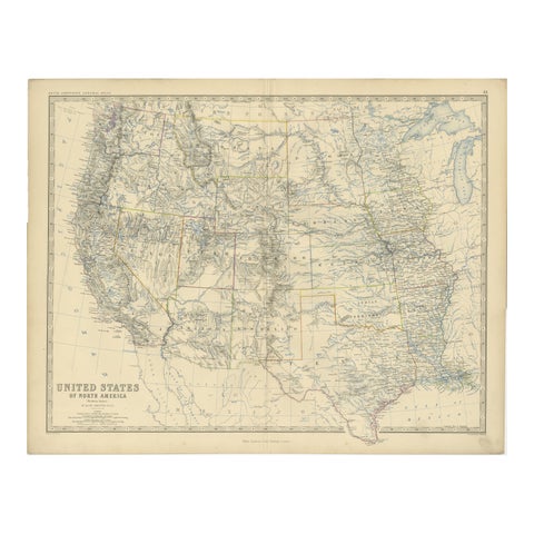
1874 Map of Western United States – Detailed Atlas by Keith Johnston
1874 · W. & A. K. Johnston
$615
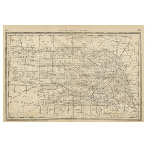
Nebraska Railroad Map 1888 – Rand McNally Antique Lithograph
1888 · Rand McNally
$535
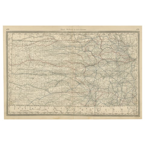
Kansas Railroad Map 1888 – Rand McNally Antique Lithograph
1888 · Rand McNally
$535
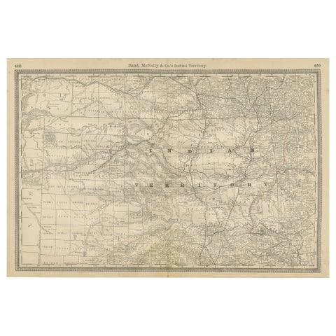
Indian Territory Map 1888 – Rand McNally Antique Lithograph
1888 · Rand McNally
$535
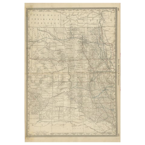
Dakota Territory Railroad Map 1888 – Rand McNally Antique Lithograph
1888 · Rand McNally
$515
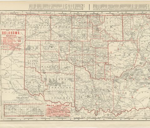
Antique Map of Oklahoma and Indian Territory, Before Statehood, 1899
1899 · Rand McNally
$500
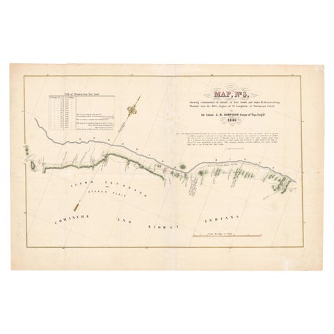
1849 Hand-Colored Map of Fort Smith to Santa Fe Route, Detailing Trails & Camps
1849
$470
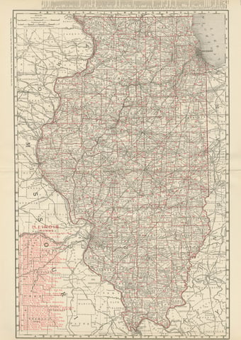
Antique Map of Illinois, The Prairie State, Rand McNally, 1899
1899 · Rand McNally
$440
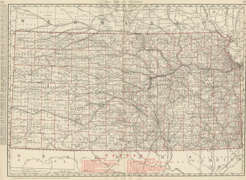
Antique Map of Kansas, The Sunflower State, Rand McNally, 1899
1899 · Rand McNally
$440
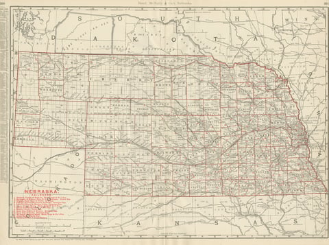
Antique Map of Nebraska, The Cornhusker State, Rand McNally, 1899
1899 · Rand McNally
$440
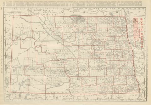
Antique Map of North Dakota, with Fort Berthold Reservation, Rand McNally, 1899
1899 · Rand McNally
$385
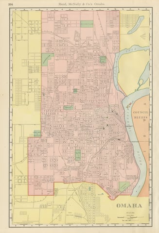
Antique Map of Omaha, with Union Stock Yards, Rand McNally, 1899
1899 · Rand McNally
$330
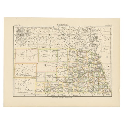
Antique Map of Nebraska
1884
$325
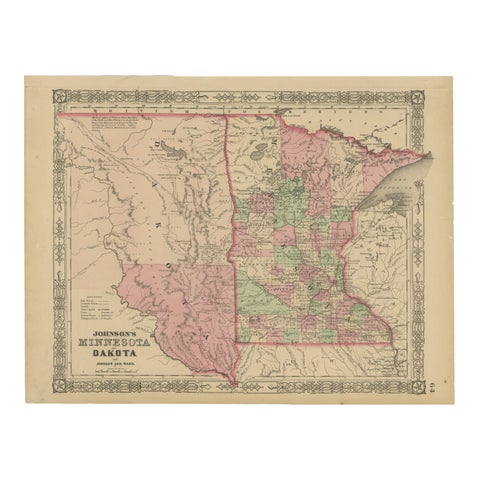
Minnesota and Dakota Map – Johnson, Hand-Colored, USA c.1864
1864
$325
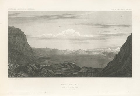
Antique Utah Landscape Print, Round Prairie & Timpanogos Valley, 1861
1861
$315
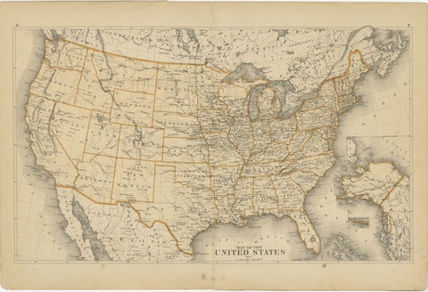
1874 Map of the United States with Territorial Boundaries
1874
$290
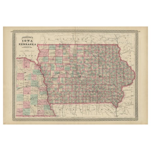
Antique Map of Iowa and Nebraska by Johnson, '1872'
1872 · A. J. Johnson
$280
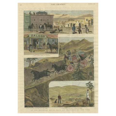
The Southern Route From San Francisco to New York Published in The Graphic, 1887
1887
$245
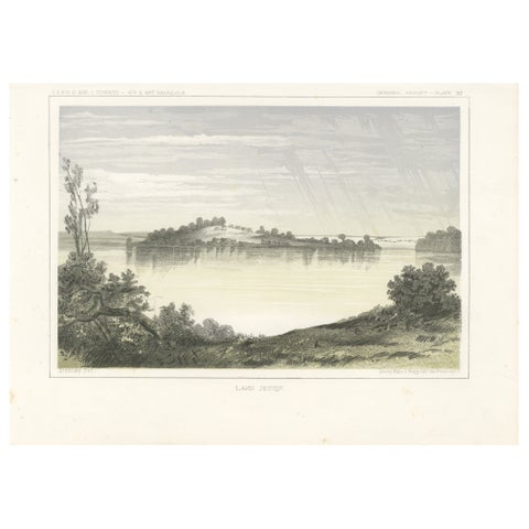
Serene Landscape of Lake Jessie in Dakota - Tinted Lithgraph Published in 1856
1856
$245
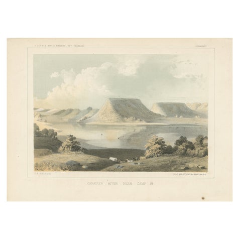
Scenic Canadian River Landscape, Camp 38 – Between Witchita and Oklahoma, 1856
1856
$245
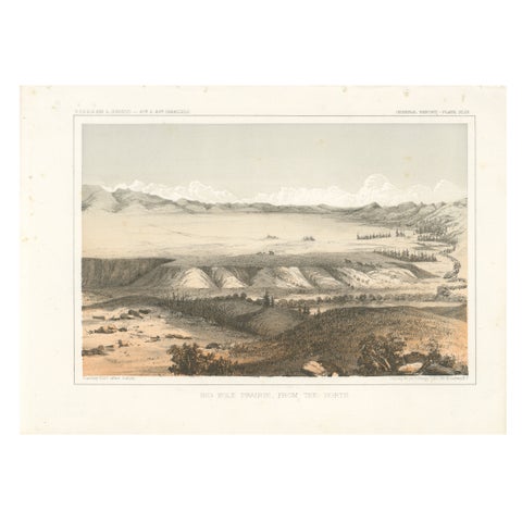
Big Hole Prairie View – Scenic Montana Landscape Print, Published in 1856
1856
$245
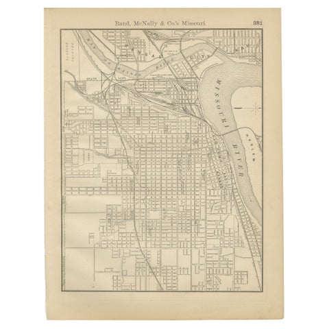
Antique Kansas City Map Wall Art – Missouri–Kansas Border, Rand McNally, ca.1888
1888 · Rand McNally
$225
Page 1 of 2Next →
★
States in The Great Plains