Original antique maps & prints of
Kansas
★ 5 original pieces ★
Opened by the Kansas-Nebraska Act of 1854 and fought over in the years of Bleeding Kansas, Kansas became a state in 1861. We currently hold 5 original sheets of Kansas, published between 1843 and 1899. Of these, 3 are maps and 2 are views and prints. The earliest is Antique Print of a Warrior of the Kaw Nation by Prichard '1843'.
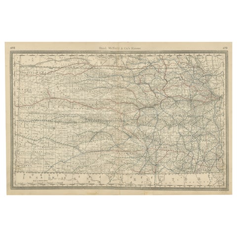
Kansas Railroad Map 1888 – Rand McNally Antique Lithograph
1888 · Rand McNally
$535
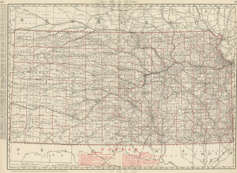
Antique Map of Kansas, The Sunflower State, Rand McNally, 1899
1899 · Rand McNally
$440
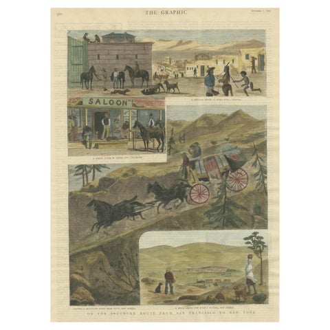
The Southern Route From San Francisco to New York Published in The Graphic, 1887
1887
$245
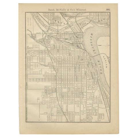
Antique Kansas City Map Wall Art – Missouri–Kansas Border, Rand McNally, ca.1888
1888 · Rand McNally
$225
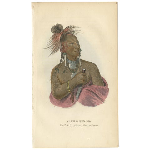
Antique Print of a Warrior of the Kaw Nation by Prichard '1843'
1843
$135
★
More of The Great Plains