Original antique maps & prints of
Texas
★ 11 original pieces ★
An independent republic from 1836, Texas was annexed by the United States in 1845. Its maps record Spanish, Mexican and American claims. We currently hold 11 original sheets of Texas, published between 1780 and 1909. Of these, 11 are maps and 1 is a view or print. The earliest is New Mexico & Northern New Spain – Enlightenment Map by Rigobert Bonne, c.1780.
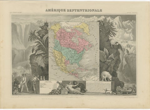
Antique Map North America, Texas Republic, Decorative Levasseur Atlas, c.1845
1845
$1,400
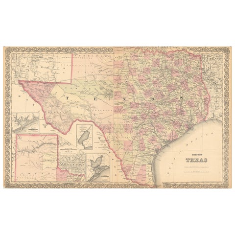
Large Antique Map of Texas with Panhandle & Bay Inset Maps, Colton, 1873
1873 · J. H. Colton
$815
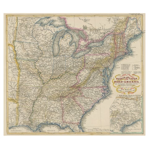
Antique Map of the Eastern United States with Inset Map of Texas
circa 1859 · Stieler
$605
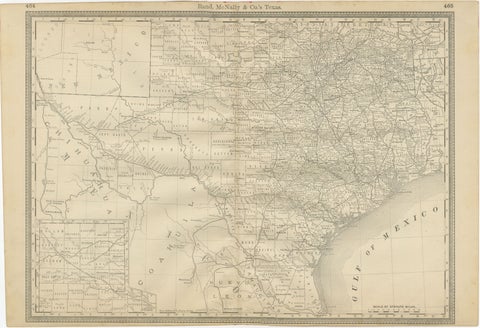
Texas Antique Map 1888 – Railroads, Counties & Frontier Settlements
1888 · Rand McNally
$605
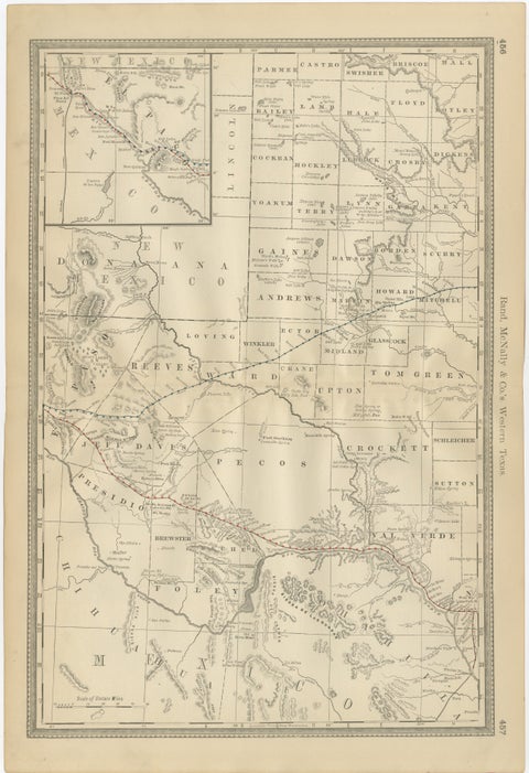
Western Texas Antique Map 1888 – Railroads, Counties & Frontier Towns
1888 · Rand McNally
$605
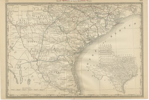
Antique Map 1888 – Southern Texas Railroads, Counties & Settlements
1888 · Rand McNally
$605
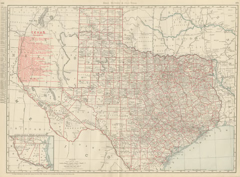
Antique Map of Texas, The Lone Star State, Rand McNally, 1899
1899 · Rand McNally
$555
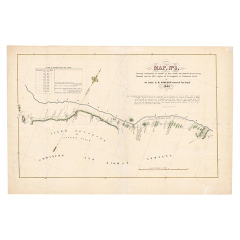
1849 Hand-Colored Map of Fort Smith to Santa Fe Route, Detailing Trails & Camps
1849
$470
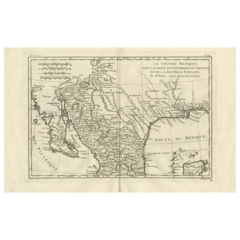
New Mexico & Northern New Spain – Enlightenment Map by Rigobert Bonne, c.1780
1780 · Rigobert Bonne
$435
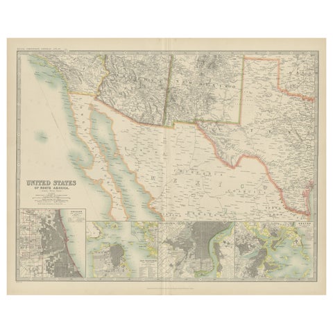
Antique Map of the United States of North America by Johnston '1909'
1909 · W. & A. K. Johnston
$390
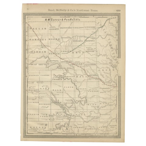
Antique Northwest Texas Map – Panhandle Railroads & Counties, Rand McNally, 1888
1888 · Rand McNally
$290
★
More of The Southwest