Original antique maps & prints of
The Southwest
★ 30 original pieces ★
Texas, New Mexico and Arizona: Spanish and Mexican borderlands that became American territory in the 1840s and 1850s.
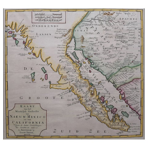
Original Antique Map of the Western Part of NEW MEXICO & CALIFORNIA
1765
$1,455
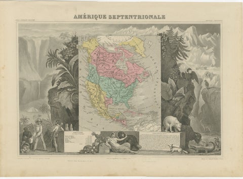
Antique Map North America, Texas Republic, Decorative Levasseur Atlas, c.1845
1845
$1,400
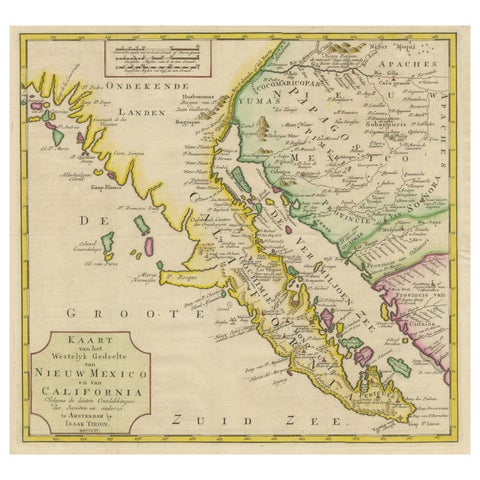
Antique Map of Baja California and parts of Alta California, Arizona and Sonora
1765
$1,110
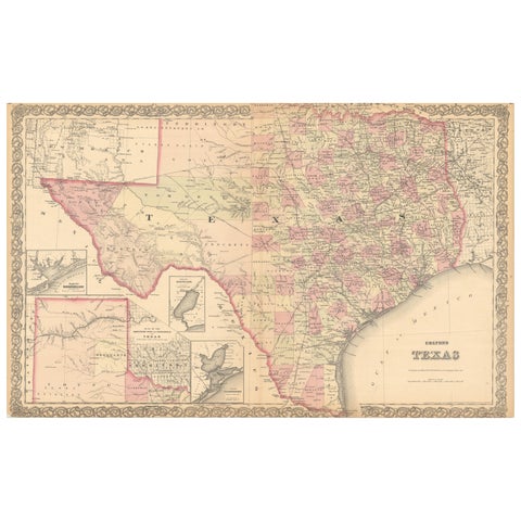
Large Antique Map of Texas with Panhandle & Bay Inset Maps, Colton, 1873
1873 · J. H. Colton
$815
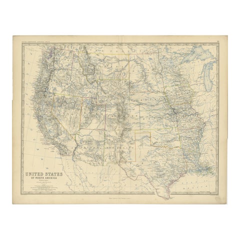
1874 Map of Western United States – Detailed Atlas by Keith Johnston
1874 · W. & A. K. Johnston
$615
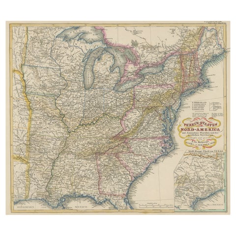
Antique Map of the Eastern United States with Inset Map of Texas
circa 1859 · Stieler
$605
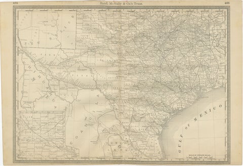
Texas Antique Map 1888 – Railroads, Counties & Frontier Settlements
1888 · Rand McNally
$605
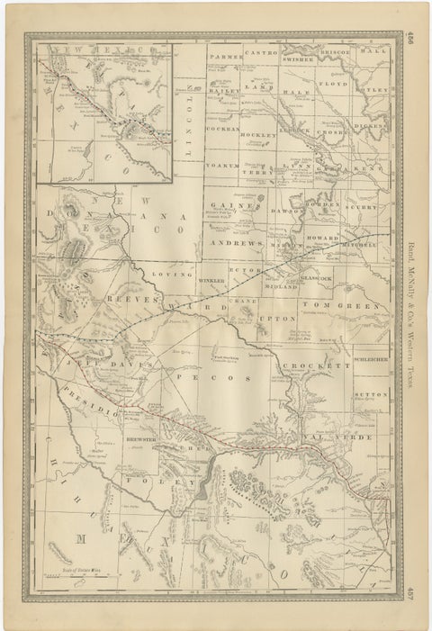
Western Texas Antique Map 1888 – Railroads, Counties & Frontier Towns
1888 · Rand McNally
$605
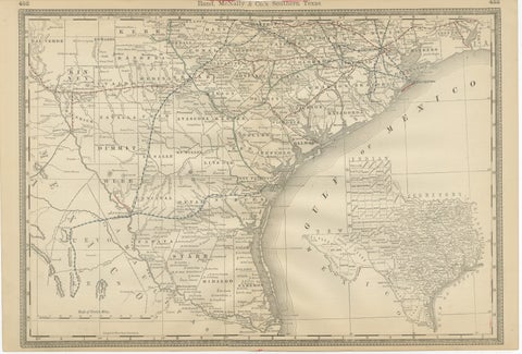
Antique Map 1888 – Southern Texas Railroads, Counties & Settlements
1888 · Rand McNally
$605
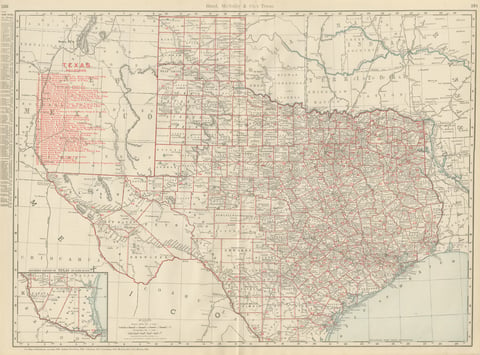
Antique Map of Texas, The Lone Star State, Rand McNally, 1899
1899 · Rand McNally
$555
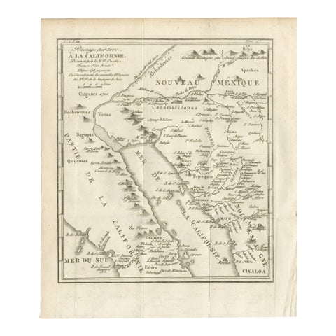
Old Map of the Overland Route to California – Early Exploration Pathways, 1701
1701
$550
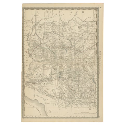
Rare 1888 Map of Arizona – Railroads, Mines & Early Frontier Settlements
1888 · Rand McNally
$535
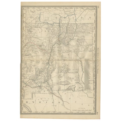
1888 New Mexico Map – Railroads, Counties & The Land of Enchantment
1888 · Rand McNally
$515
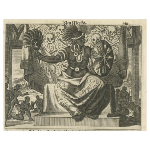
Cultural Encounter in New Mexico, Copper Engraving Published in 1673
1673 · Montanus & Ogilby
$505
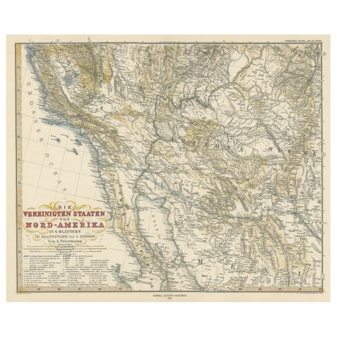
Antique Map of Part of the United States Including Lower California & Arizona
circa 1879 · Stieler
$490
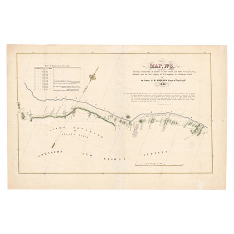
1849 Hand-Colored Map of Fort Smith to Santa Fe Route, Detailing Trails & Camps
1849
$470
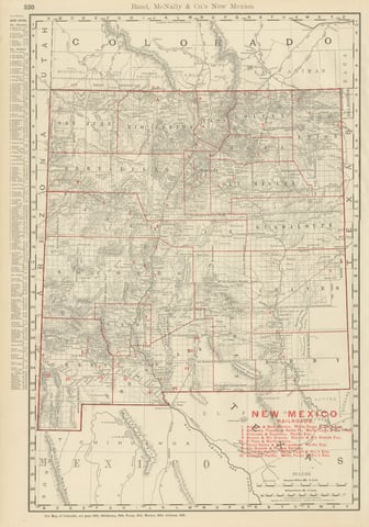
Antique Map of New Mexico Territory, Before Statehood, Rand McNally, 1899
1899 · Rand McNally
$440
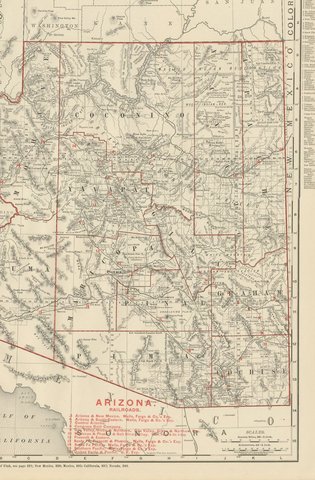
Antique Map of Arizona Territory, with the Grand Canyon, Rand McNally, 1899
1899 · Rand McNally
$440
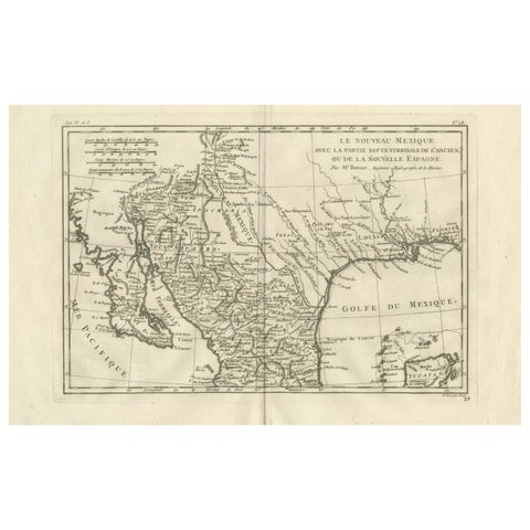
New Mexico & Northern New Spain – Enlightenment Map by Rigobert Bonne, c.1780
1780 · Rigobert Bonne
$435
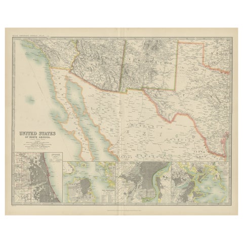
Antique Map of the United States of North America by Johnston '1909'
1909 · W. & A. K. Johnston
$390
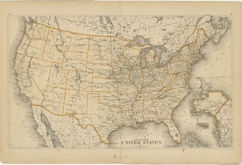
1874 Map of the United States with Territorial Boundaries
1874
$290
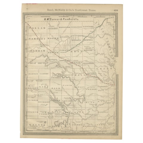
Antique Northwest Texas Map – Panhandle Railroads & Counties, Rand McNally, 1888
1888 · Rand McNally
$290
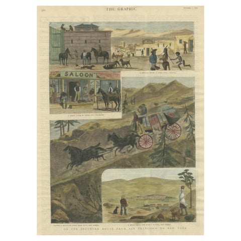
The Southern Route From San Francisco to New York Published in The Graphic, 1887
1887
$245
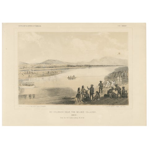
Scenic View of the Rio Colorado Near Mojave Villages, Historical Encounter, 1856
1856
$245
Page 1 of 2Next →
★
States in The Southwest