Original antique maps & prints of
New Mexico
★ 11 original pieces ★
Spanish and Mexican for centuries, New Mexico came under American control in 1848 and became a state only in 1912. We currently hold 11 original sheets of New Mexico, published between 1673 and 1909. Of these, 7 are maps and 4 are views and prints. The earliest is Cultural Encounter in New Mexico, Copper Engraving Published in 1673.
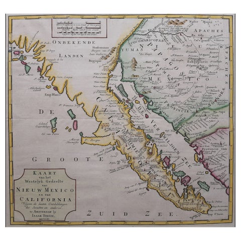
Original Antique Map of the Western Part of NEW MEXICO & CALIFORNIA
1765
$1,455
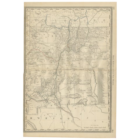
1888 New Mexico Map – Railroads, Counties & The Land of Enchantment
1888 · Rand McNally
$515
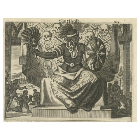
Cultural Encounter in New Mexico, Copper Engraving Published in 1673
1673 · Montanus & Ogilby
$505
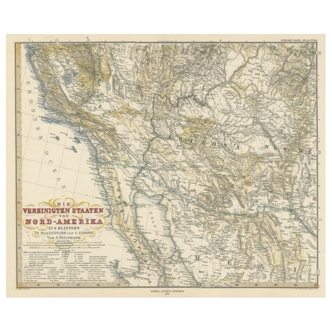
Antique Map of Part of the United States Including Lower California & Arizona
circa 1879 · Stieler
$490
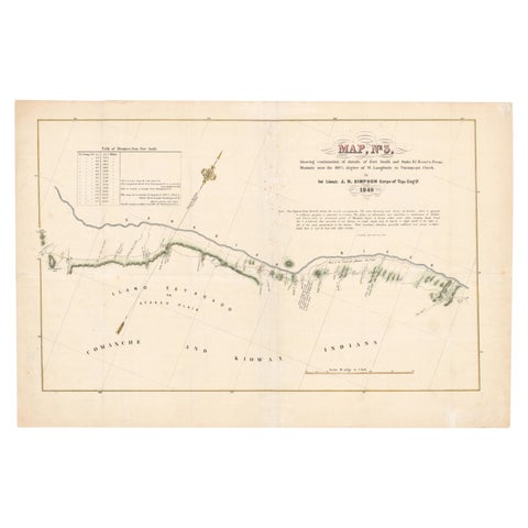
1849 Hand-Colored Map of Fort Smith to Santa Fe Route, Detailing Trails & Camps
1849
$470
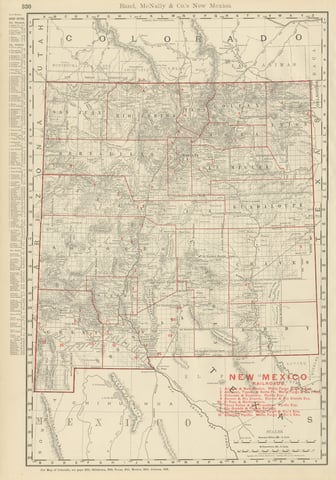
Antique Map of New Mexico Territory, Before Statehood, Rand McNally, 1899
1899 · Rand McNally
$440
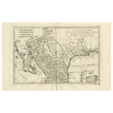
New Mexico & Northern New Spain – Enlightenment Map by Rigobert Bonne, c.1780
1780 · Rigobert Bonne
$435
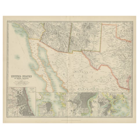
Antique Map of the United States of North America by Johnston '1909'
1909 · W. & A. K. Johnston
$390
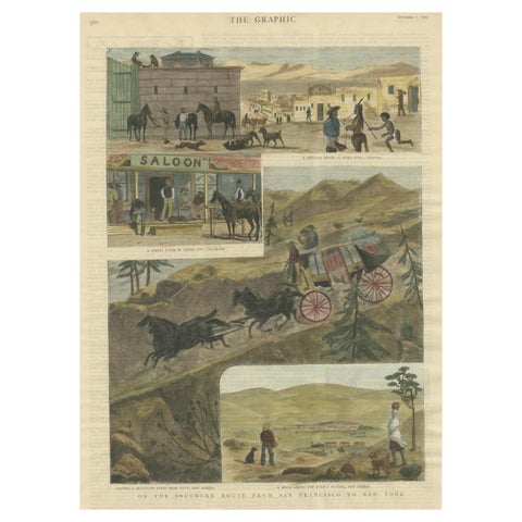
The Southern Route From San Francisco to New York Published in The Graphic, 1887
1887
$245
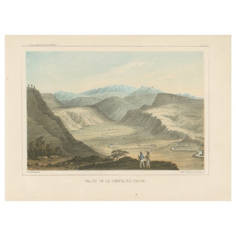
Spectacular View of Valley La Cuesta, Rio Pecos - 19th Century Lithograph
$245
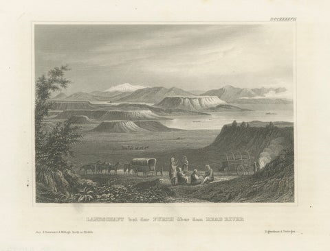
Antique New Mexico Landscape Print, Wagon Train Scene, Meyer 1850s
$230
★
More of The Southwest