Original antique
Maps
★ 641 original pieces ★
Original antique maps, each removed from the atlas or book it was published in, or issued as a separate sheet. Never reproductions.
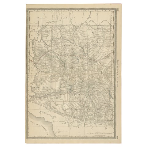
Rare 1888 Map of Arizona – Railroads, Mines & Early Frontier Settlements
1888 · Rand McNally
$535
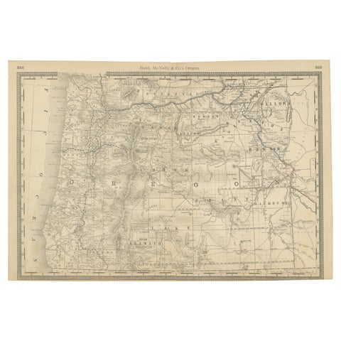
1888 Antique Map of Oregon – Railroads, Counties & Native Indian Reservations
1888 · Rand McNally
$535
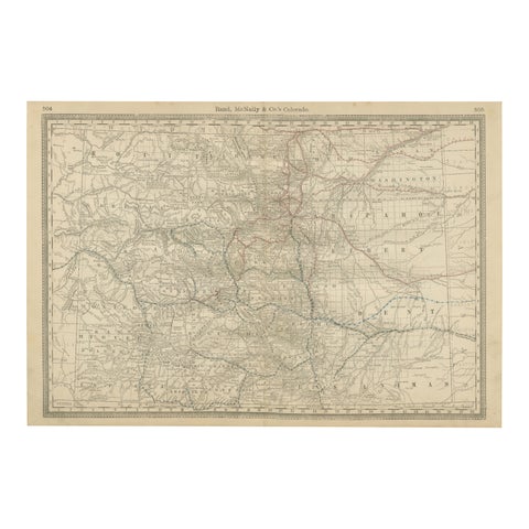
1888 Colorado Map – The Centennial State’s Railroads, Mines & Counties
1888 · Rand McNally
$535
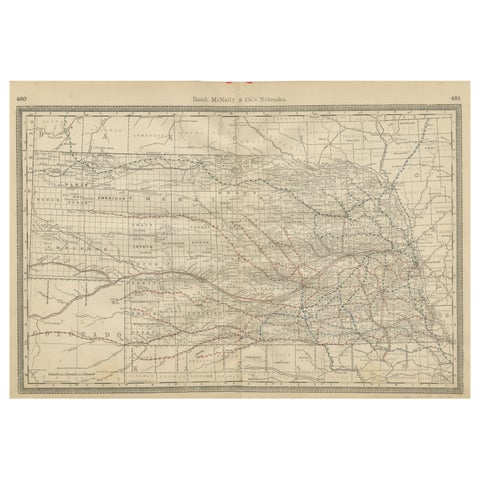
Nebraska Railroad Map 1888 – Rand McNally Antique Lithograph
1888 · Rand McNally
$535
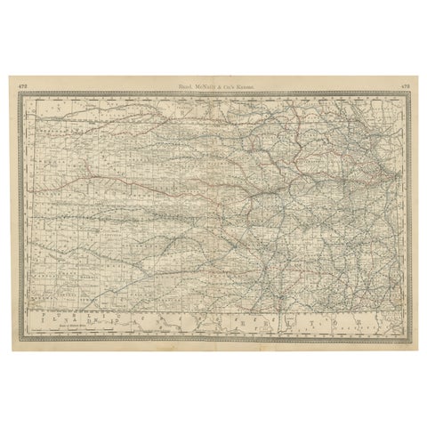
Kansas Railroad Map 1888 – Rand McNally Antique Lithograph
1888 · Rand McNally
$535
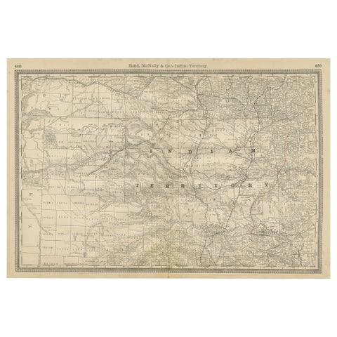
Indian Territory Map 1888 – Rand McNally Antique Lithograph
1888 · Rand McNally
$535
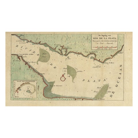
Rare Antique Map of the Rio De La Plata, Buenos Ayres, Brazil, ca.1760
1760 · Guillaume Delisle
$530
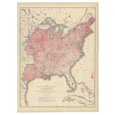
Antique Chart of the US Consumption Deaths, '1874'
1874
$525
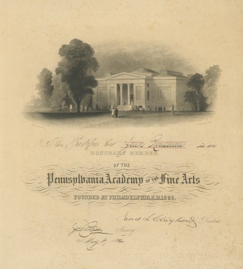
Pennsylvania Academy of the Fine Arts Honorary Membership Certificate, 1882
1882
$525
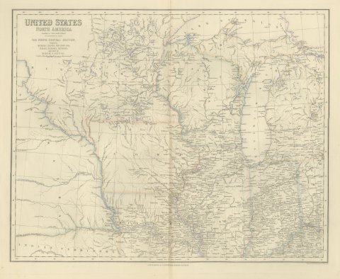
Antique Map of the North Central United States and Lake Michigan, circa 1860
circa 1860
$520
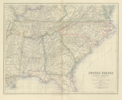
Antique Map of the South Eastern United States with Cape Hatteras, circa 1860
circa 1860
$520
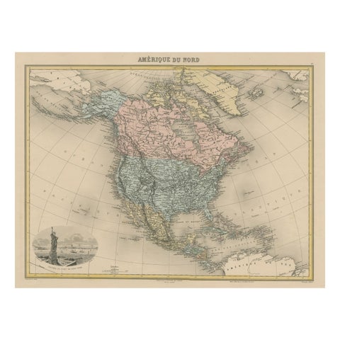
Antique Map of North America with Vignette of the Statue of Liberty, New York
circa 1875
$515
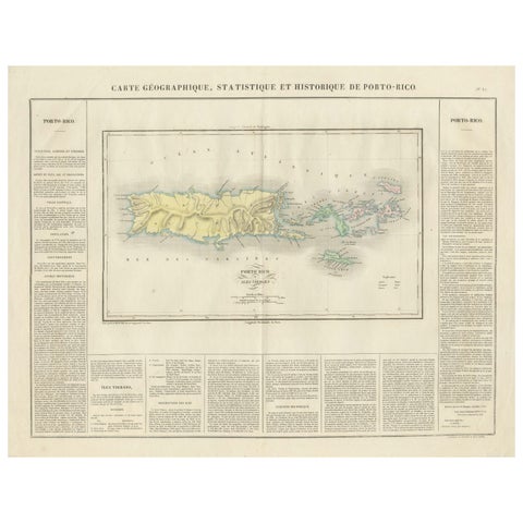
1825 Buchon Map of Puerto Rico & Virgin Islands with Detailed Colonial History
1825
$515
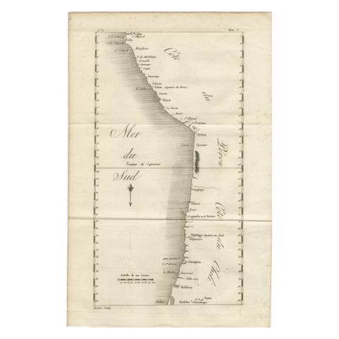
Antique Map of the Coast of Peru and Chile – Detailing Ports & Coastlines, c1760
circa 1760
$515
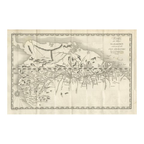
Antique Map of the Amazon River – Maragnon or River of the Amazons, c.1760
1760
$515
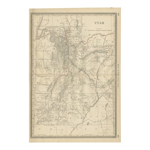
Rare 1888 Utah Map – The Beehive State’s Railroads, Counties & Great Salt Lake
1888 · Rand McNally
$515
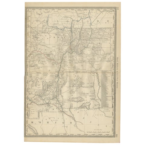
1888 New Mexico Map – Railroads, Counties & The Land of Enchantment
1888 · Rand McNally
$515
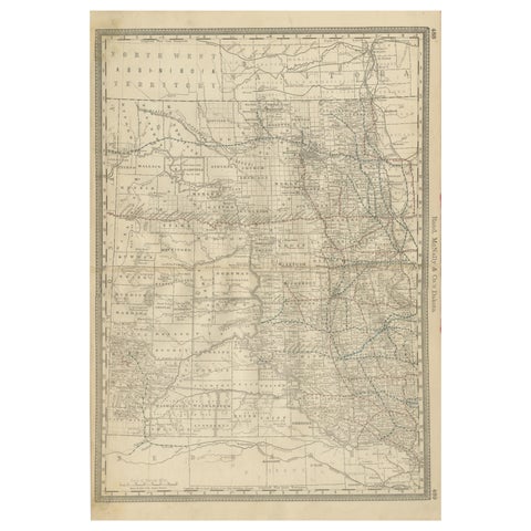
Dakota Territory Railroad Map 1888 – Rand McNally Antique Lithograph
1888 · Rand McNally
$515
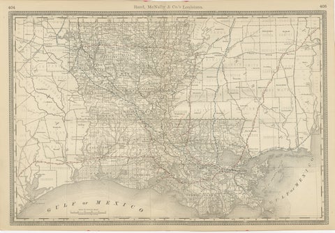
Louisiana Antique Map 1888 – The Pelican State, Railroads & Counties
1888 · Rand McNally
$515
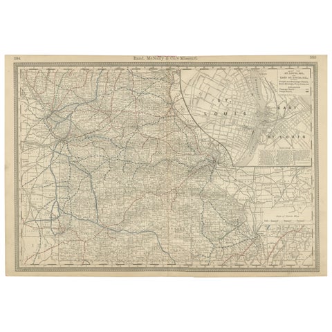
Antique Map of Missouri – The Show-Me State with St. Louis Inset, 1888
1888 · Rand McNally
$515
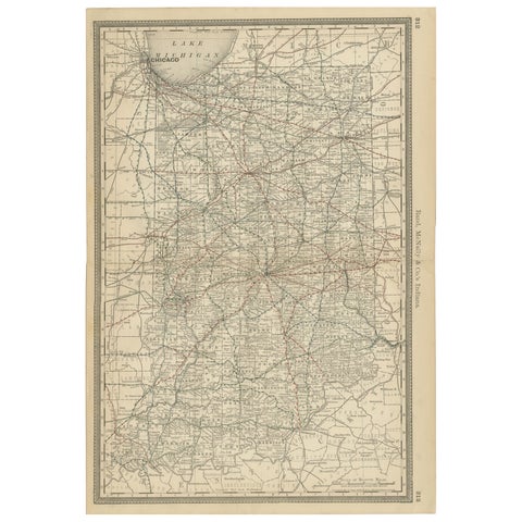
Antique Map of Indiana – The Hoosier State with Railroads & Counties, 1888
1888 · Rand McNally
$515
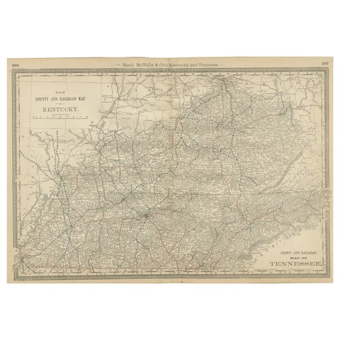
Antique Map of Kentucky & Tennessee – The Bluegrass & Volunteer States, 1888
1888 · Rand McNally
$515
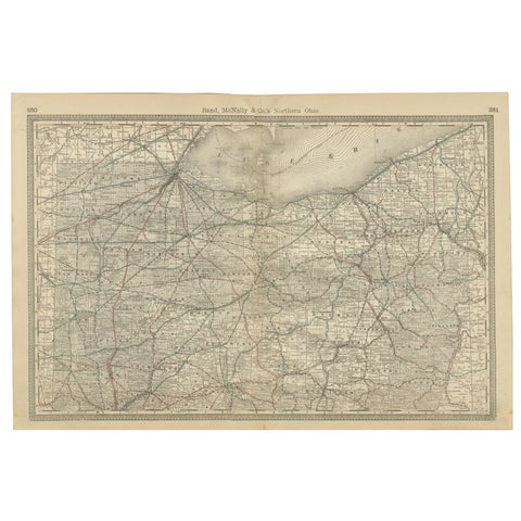
Antique Map of Northern Ohio – The Buckeye State with Railroads & Counties, 1888
1888 · Rand McNally
$515
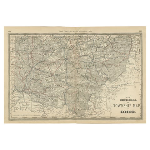
Antique Map of Southern Ohio – The Buckeye State - Railroads & Townships, 1888
1888 · Rand McNally
$515