Original antique maps & prints of
The Caribbean
★ 99 original pieces ★
The West Indies were among the most contested and most mapped waters in the world. Original charts, island maps and views of Cuba, Hispaniola, Jamaica, the Bahamas, Bermuda and the Lesser Antilles.
Cuba
16 pieces
Jamaica
18 pieces
Hispaniola (Haiti & Dominican Republic)
16 pieces
The Bahamas
3 pieces
Bermuda
2 pieces
The Lesser Antilles
34 pieces
The West Indies
70 pieces
★
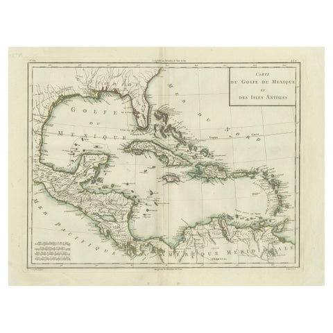
Antique Map of the Gulf of Mexico and Caribbean Islands by Tardieu, 1802
1802
$625
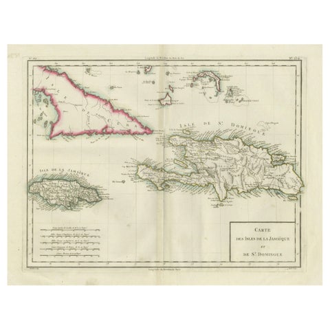
Antique Map of Jamaica and Hispaniola (Saint-Domingue and Santo Domingo), 1802
1802
$625
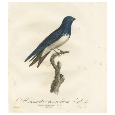
Large Antique Bird Print of a White Bellied Caribbean Martin, circa 1807
1807
$605
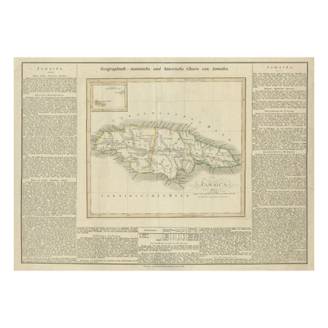
Detailed Antique Map of Jamaica - Published in Weimar, 1825
1825
$605
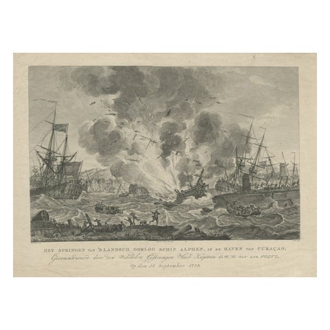
Antique Print of the Exploding of the 'Alphen' in the Harbour of Curacao, 1779
1779
$580
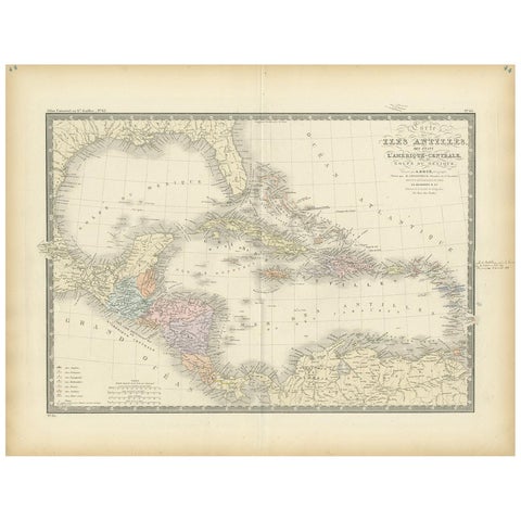
Antique Map of the Antilles in the Caribbean, '1875'
1875
$560
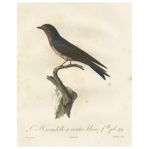
The White-Bellied Caribbean Martin – An 1807 Ornithological Illustration
1807
$550
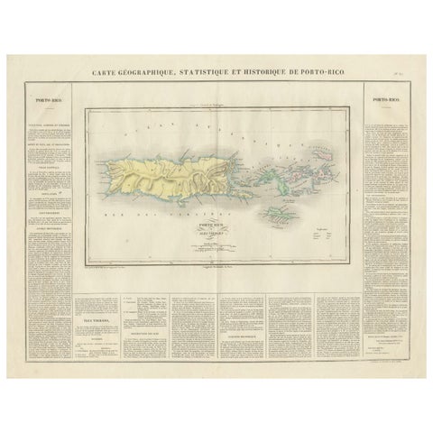
1825 Buchon Map of Puerto Rico & Virgin Islands with Detailed Colonial History
1825
$515
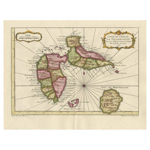
Antique Map of Guadelupe in the Caribbean, 1759
1759 · Jacques-Nicolas Bellin
$505
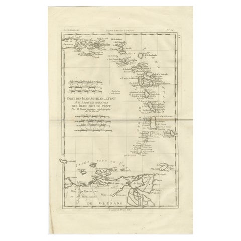
Caribbean & Lesser Antilles – Enlightenment Map by Rigobert Bonne, c.1780
1780 · Rigobert Bonne
$505
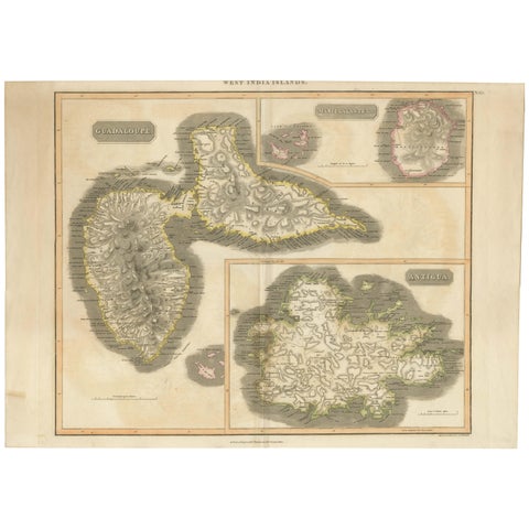
Large Antique Map of Guadeloupe and Antigua with Adjacent Isles, 19th Century
circa 1817 · John Thomson
$490
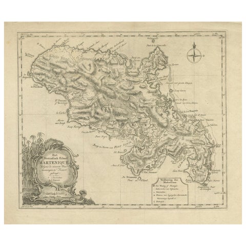
18th Century Original Dutch Map of Martinique in The West Indies by Isaak Tirion
$490
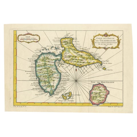
1758 Bellin Map of Guadeloupe and Marie-Galante – Caribbean Islands
1758 · Jacques-Nicolas Bellin
$490
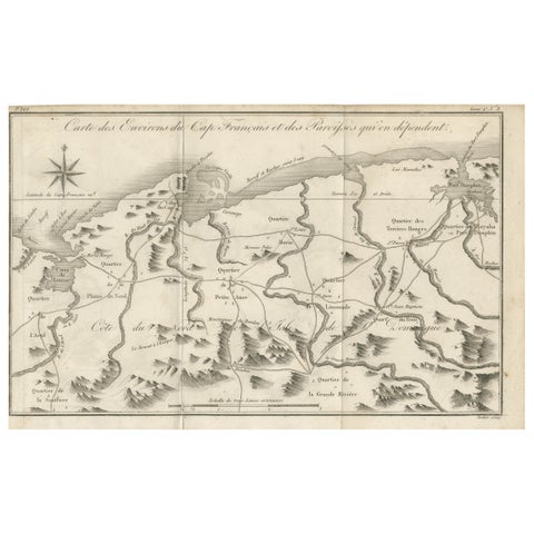
Antique Map of the Environs of Cap-Français, Saint-Domingue, c.1760
1760
$490
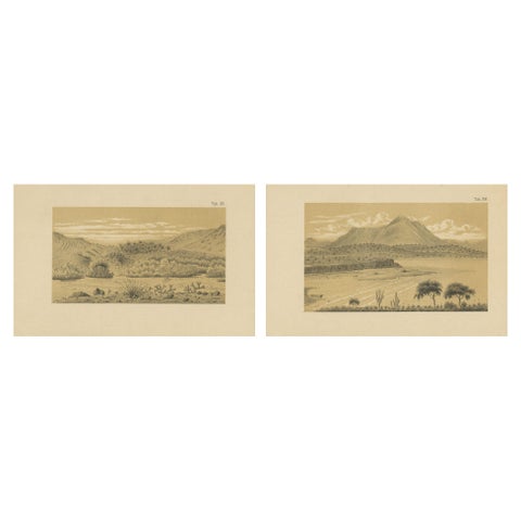
Aruba Landscape & Mountain Views - Dutch West Indies by Karl Martin, 1888
1888
$490
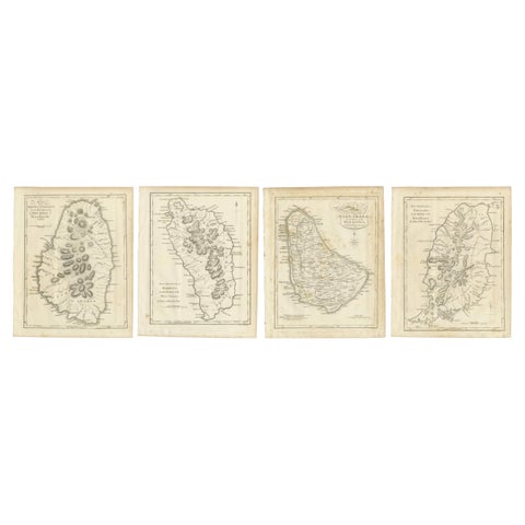
Set of Four Antique Maps of Caribbean Islands by Bryan Edwards, 1818
1818
$490
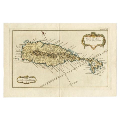
Old Map of the island of Saint Christopher or St. Kitts in the Caribbean, c.1765
1765 · Guillaume Delisle
$480
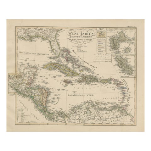
Antique Map of the Caribbean & Central America – West Indies, 1857
1857
$470
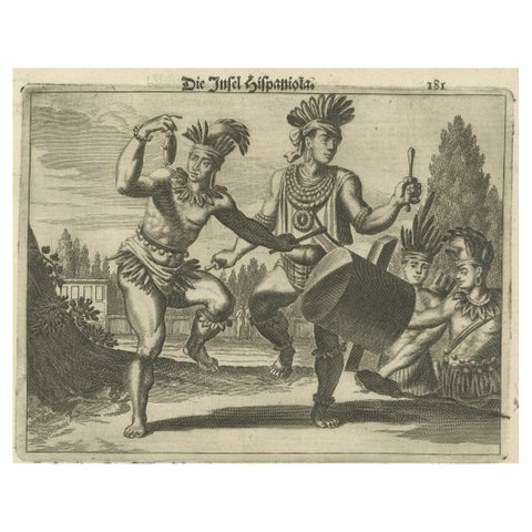
Copper Engraving of Hispaniola - Indigenous Life in America by Montanus, 1673
1673 · Montanus & Ogilby
$460
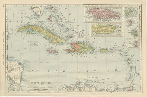
Antique Map of the West Indies, with Cuba, Jamaica and Puerto Rico, 1899
1899 · Rand McNally
$440
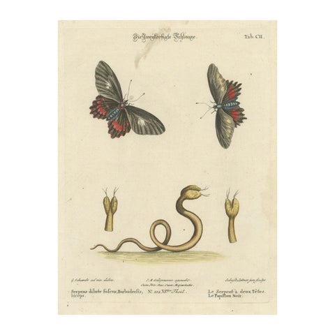
The Two-Headed Serpent and the Black Butterfly, 1749
1749
$435
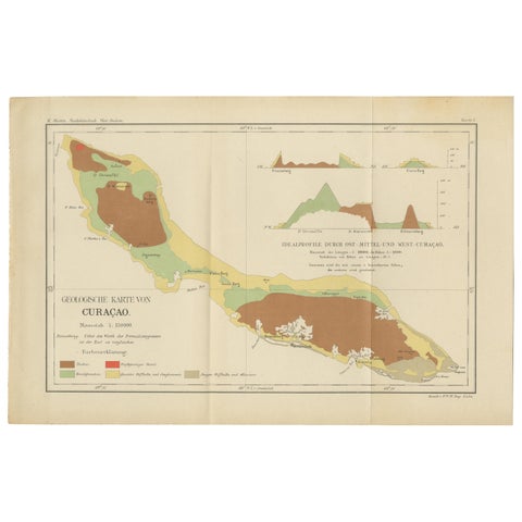
Antique Geological Map of Curaçao - Hand Colored Dutch Caribbean, 1888
1888
$435
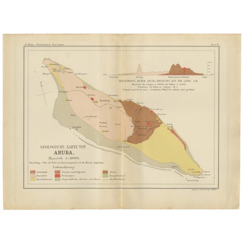
Antique Geological Map of Aruba - Dutch West Indies by Karl Martin, 1888
1888
$435
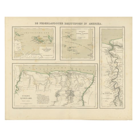
Antique Map of Dutch Colonies in the Caribbean & Suriname by Dornseiffen, 1884
1884
$435