Antique maps & prints of the Americas
The Early Republic
★ 76 original pieces ★
From independence to about 1840 American publishers such as Tanner, Carey and Mitchell began to map their own country, and the new states appear with their first county lines.
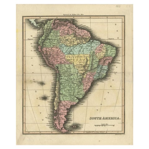
Antique Map of South America by Walker, 1816
1816 · Thomas Kitchin
$125
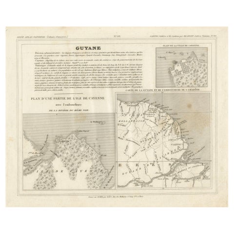
Antique Map of French Guiana and Cayenne – Circa 1835
1835
$100
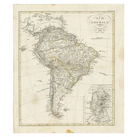
Antique Map of South America by Reichard, 1820
1820 · Thomas Kitchin
$95
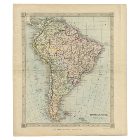
Antique Map of South America by Kelly, 1835
1835
$80
← PreviousPage 4 of 4
★
Other periods