Antique maps & prints of the Americas
The Early Republic
★ 7 original pieces ★
From independence to about 1840 American publishers such as Tanner, Carey and Mitchell began to map their own country, and the new states appear with their first county lines.
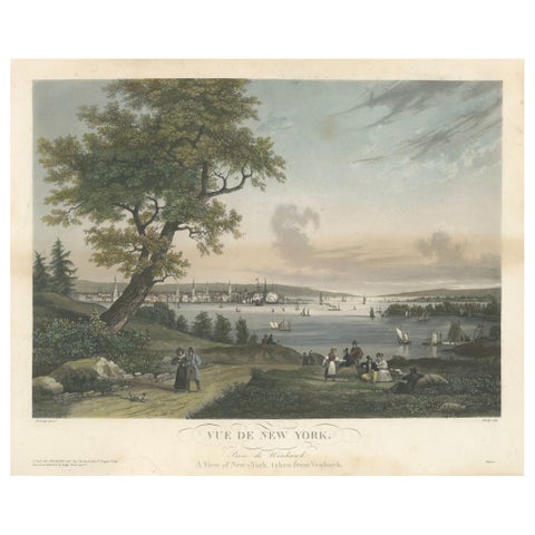
View of New York City from Weehawken, Rare Hand-Colored 1834 Aquatint Print
1834
$6,045
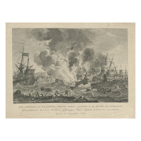
Antique Print of the Exploding of the 'Alphen' in the Harbour of Curacao, 1779
1779
$580
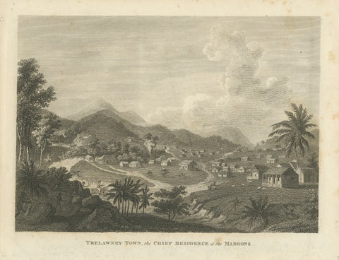
Antique View of Trelawney Town, Jamaica Maroons, Bryan Edwards, 1818
1818
$325
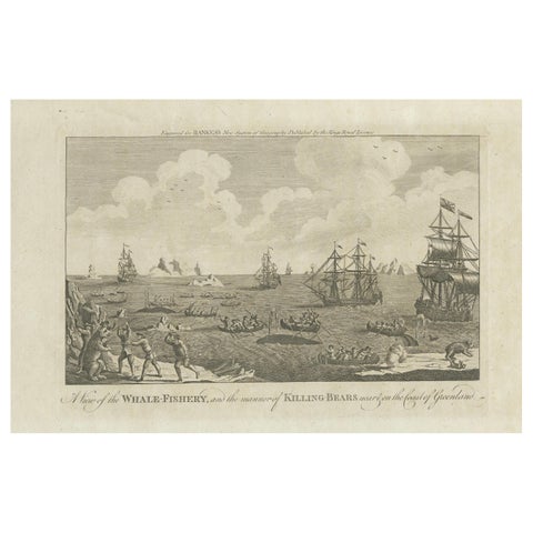
A View of the Whale-Fishery and the Manner of Killing Bears near Greenland, 1778
1778
$290
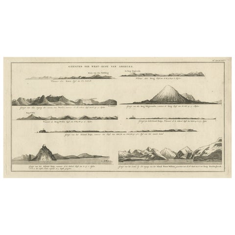
Early Coastal Views of Various Islands of the American West Coast, 1803
1803
$250
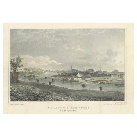
Picturesque View of the Village of St. Hyacinthe, Quebec: Lithograph c.1830
1830
$235
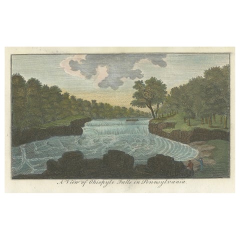
An Engraved and Hand-colored View of Ohiopyle Falls in Pennsylvania, ca.1800
1800
$215
★
Other periods