Antique maps & prints of the Americas
The Early Republic
★ 110 original pieces ★
From independence to about 1840 American publishers such as Tanner, Carey and Mitchell began to map their own country, and the new states appear with their first county lines.
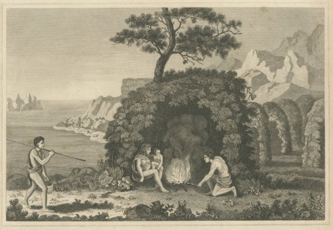
Inhabitants of Tierra del Fuego, Engraving Published by Thomas Kelly, circa 1825
circa 1825 · Captain Cook voyages
$180
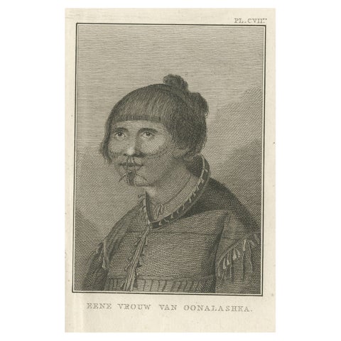
Antique Print of a Woman of Unalaska in the Aleutian Islands, Alaska, 1803
1803
$180
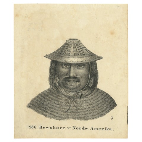
Antique Print of an Inhabitant of Northwest America, 1836
1836
$170
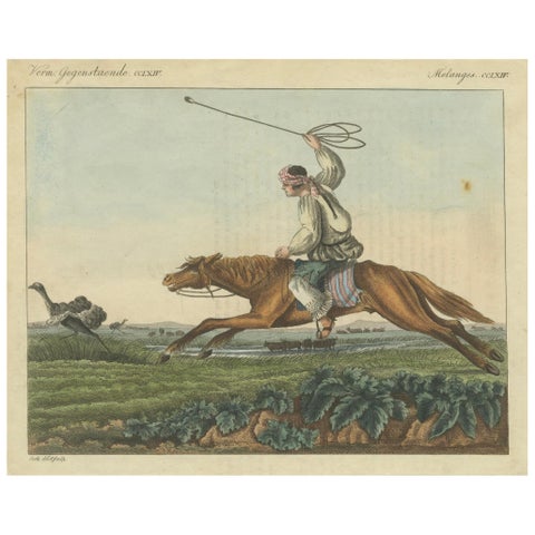
1823 Hand-Colored Engraving - Gaucho Hunting Ostrich with Bolas in the Pampas
1823
$155
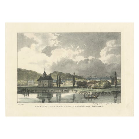
Fredericton's Barracks and Market House: Hand-Colored 1831 Lithograph
1831
$155
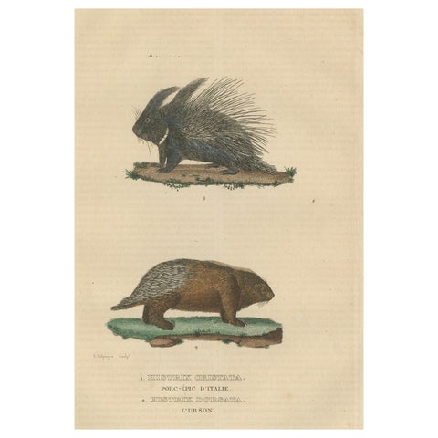
Antique Engraving of Crested Porcupine and North American Porcupine, ca.1825
1825
$155
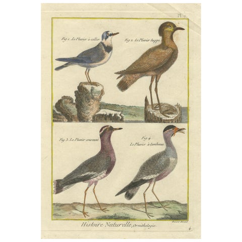
Hand-Colored Engraving of Plovers and Lapwings from Histoire Naturelle, 1790
1790
$145
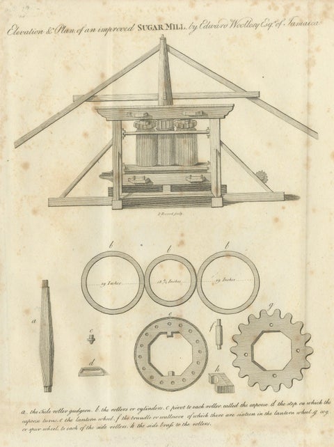
Antique Jamaican Sugar Mill Engineering Engraving, Bryan Edwards, 1818
1818
$145
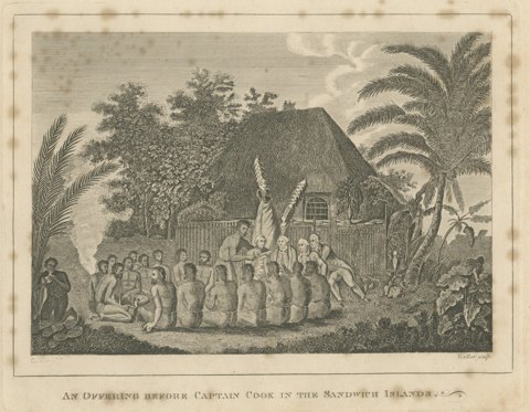
Offering Before Captain Cook, Hawaii, after Webber, Engraving, circa 1790
circa 1790 · Captain Cook voyages
$125
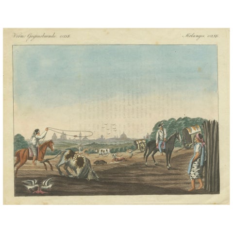
1823 Old-Colored Engraving - Gauchos Lassoing Cattle in Buenos Aires, Argentina
1823
$125
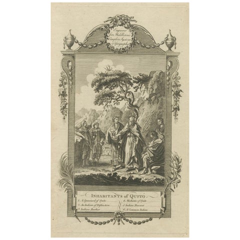
Inhabitants of Quito, South America, from Middleton's Geography, 1777
1777
$125
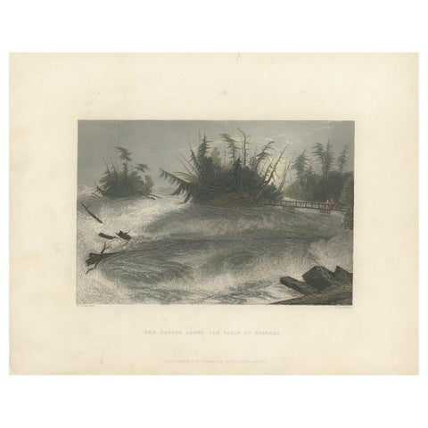
Antique Print of the Rapids of the Niagara Falls by Brandard, 1837
1837
$110
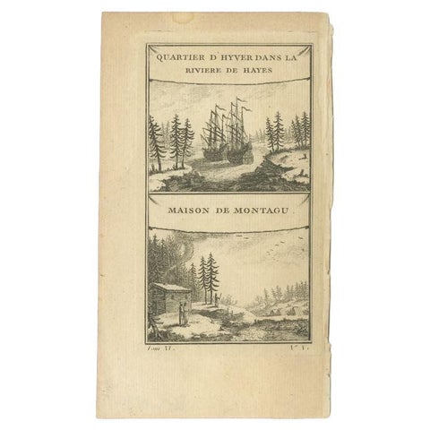
Antique Print of the Region of the Hayes River, C.1780
1780
$95
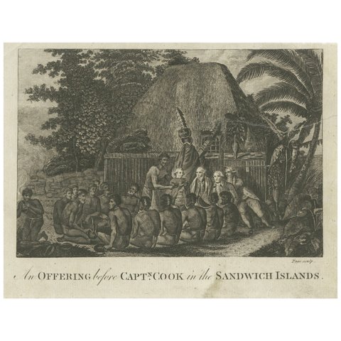
Ceremonial Tribute to Captain Cook in the Hawaiian Archipelago, circa 1790
1790 · Captain Cook voyages
$65
← PreviousPage 5 of 5
★
Other periods