Antique maps & prints of the Americas
Westward Expansion & Civil War
★ 122 original pieces ★
Texas, Oregon and the Mexican cession, the gold rush and the Civil War: two decades in which the map of the United States changed faster than at any time before or since.
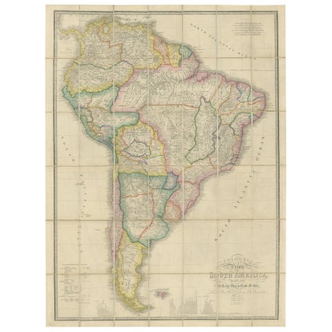
Antique Map of South America by Wyld, circa 1850
1850 · Alexander von Humboldt
$2,185
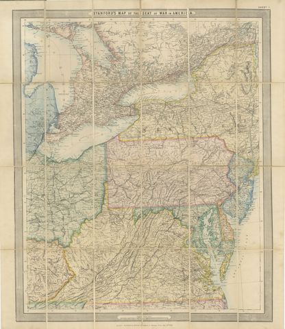
American Civil War “Seat of War” Map, Published Just After Bull Run, 1861
1861
$2,170
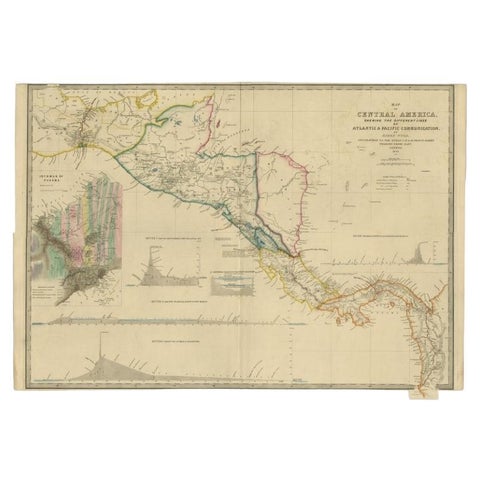
Antique Map of Central America Showing the Communication Lines, 1850
1850
$1,960
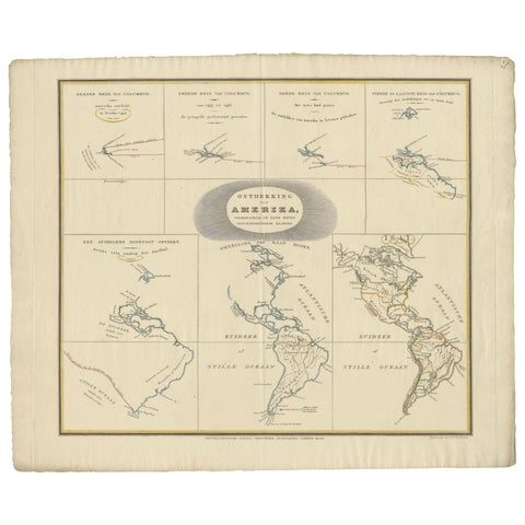
Interesting Antique Map of the Development of the Mapping of the America's, 1841
1841
$1,400
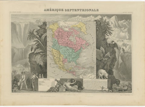
Antique Map North America, Texas Republic, Decorative Levasseur Atlas, c.1845
1845
$1,400
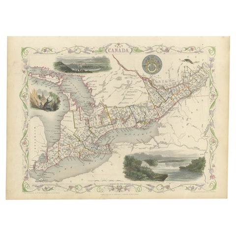
Beautiful Decorative Hand-Colored Antique Map of West Canada, 1851
1851 · John Tallis
$1,065
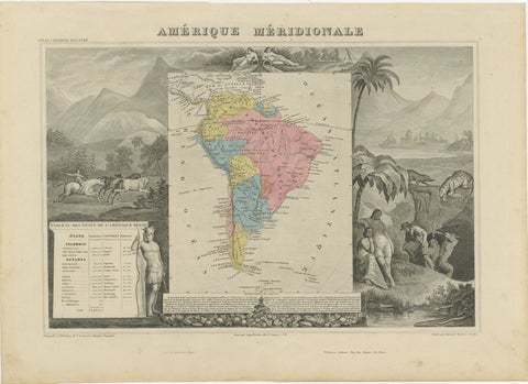
Antique Map South America, Levasseur, Decorative Original Hand Colored, c.1845
1845
$885
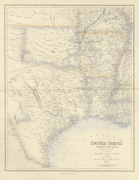
Antique Map of Texas and Louisiana with Indian Territory, circa 1860
circa 1860
$700
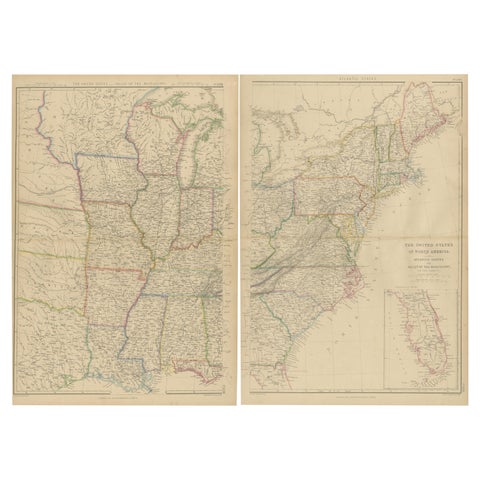
Set of 2 Antique Maps of the United States by W. G. Blackie, 1859
1859
$660
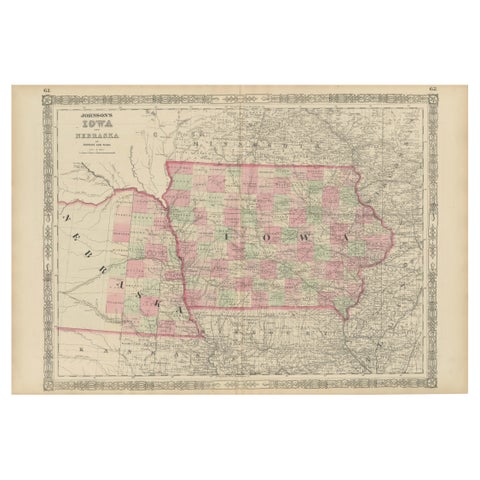
Vintage 1862 Map of Iowa and Nebraska – Decorative Atlas Print
1862
$660
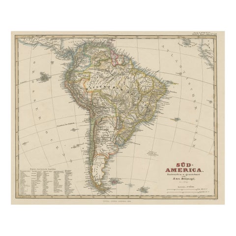
Antique Map of South America with Many Details, ca.1859
1859 · Stieler
$650
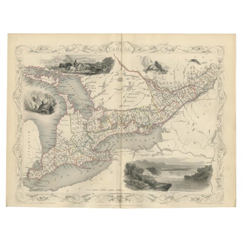
Antique Map of West Canada by Tallis 'c.1850'
1850 · John Tallis
$615

Antique Map of the West Coast of South America with Costume Figures, circa 1860
circa 1860
$610
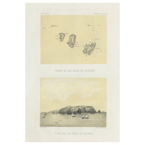
Chincha Islands Antique Lithograph 1865 – Map & Coastal Scene, Peru
1865
$605
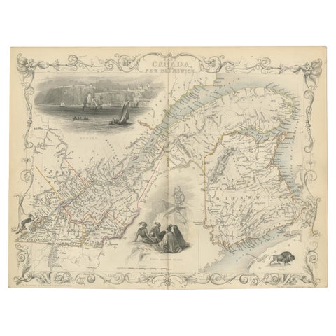
Antique Map of East Canada 'Quebec and New Brunswick' by Tallis 'c.1850'
1850 · John Tallis
$560
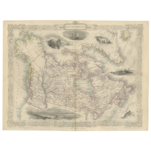
Antique Map of British America by Tallis 'c.1850'
1850 · John Tallis
$560
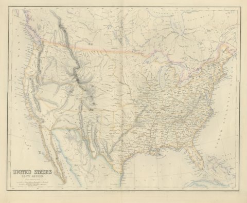
Antique Map of the United States with Oregon Territory, circa 1860
circa 1860
$545
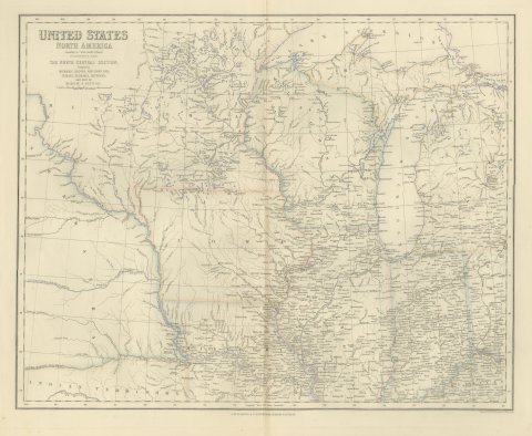
Antique Map of the North Central United States and Lake Michigan, circa 1860
circa 1860
$520
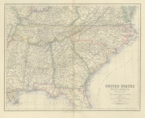
Antique Map of the South Eastern United States with Cape Hatteras, circa 1860
circa 1860
$520
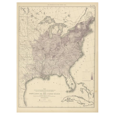
Pl. 17 Antique Chart of the US Population 1850 by Walker, 1874
1850
$505
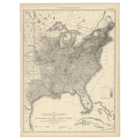
Pl. 17A Antique Chart of the US Population 1860 by Walker, '1874'
1860
$505
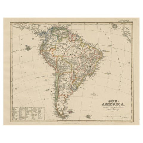
Historic 1858 Map of South America – Pre-Border Consolidation
1858
$480
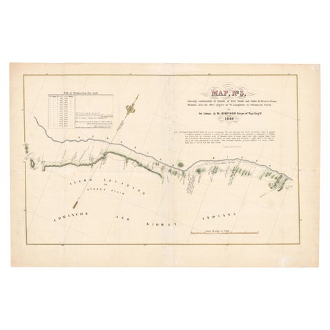
1849 Hand-Colored Map of Fort Smith to Santa Fe Route, Detailing Trails & Camps
1849
$470
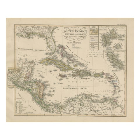
Antique Map of the Caribbean & Central America – West Indies, 1857
1857
$470
Page 1 of 6Next →
★
Other periods