Antique maps & prints of the Americas
Westward Expansion & Civil War
★ 29 original pieces ★
Texas, Oregon and the Mexican cession, the gold rush and the Civil War: two decades in which the map of the United States changed faster than at any time before or since.
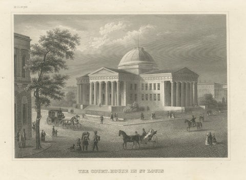
Antique View of the Old Courthouse in St. Louis Missouri, ca. 1850
1850
$245
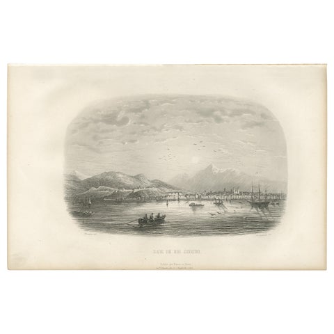
Antique Print of the Harbor of Rio de Janeiro by D'Urville (1853)
1853
$225
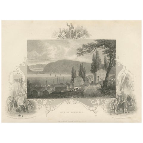
Hudson River View of Newburgh NY – Antique Engraving from c. 1850
1850 · John Tallis
$145
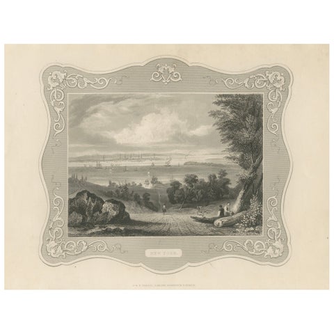
Panoramic View of New York City – Antique Engraving, c. 1850
1850 · John Tallis
$145
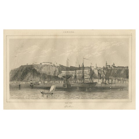
Antique View of Quebec City from the Water – Canadian Harbour Scene, c.1850
1850
$145
← PreviousPage 2 of 2
★
Other periods