



1850 · Maps
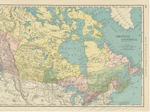
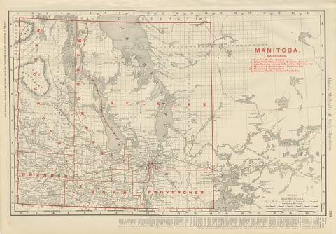
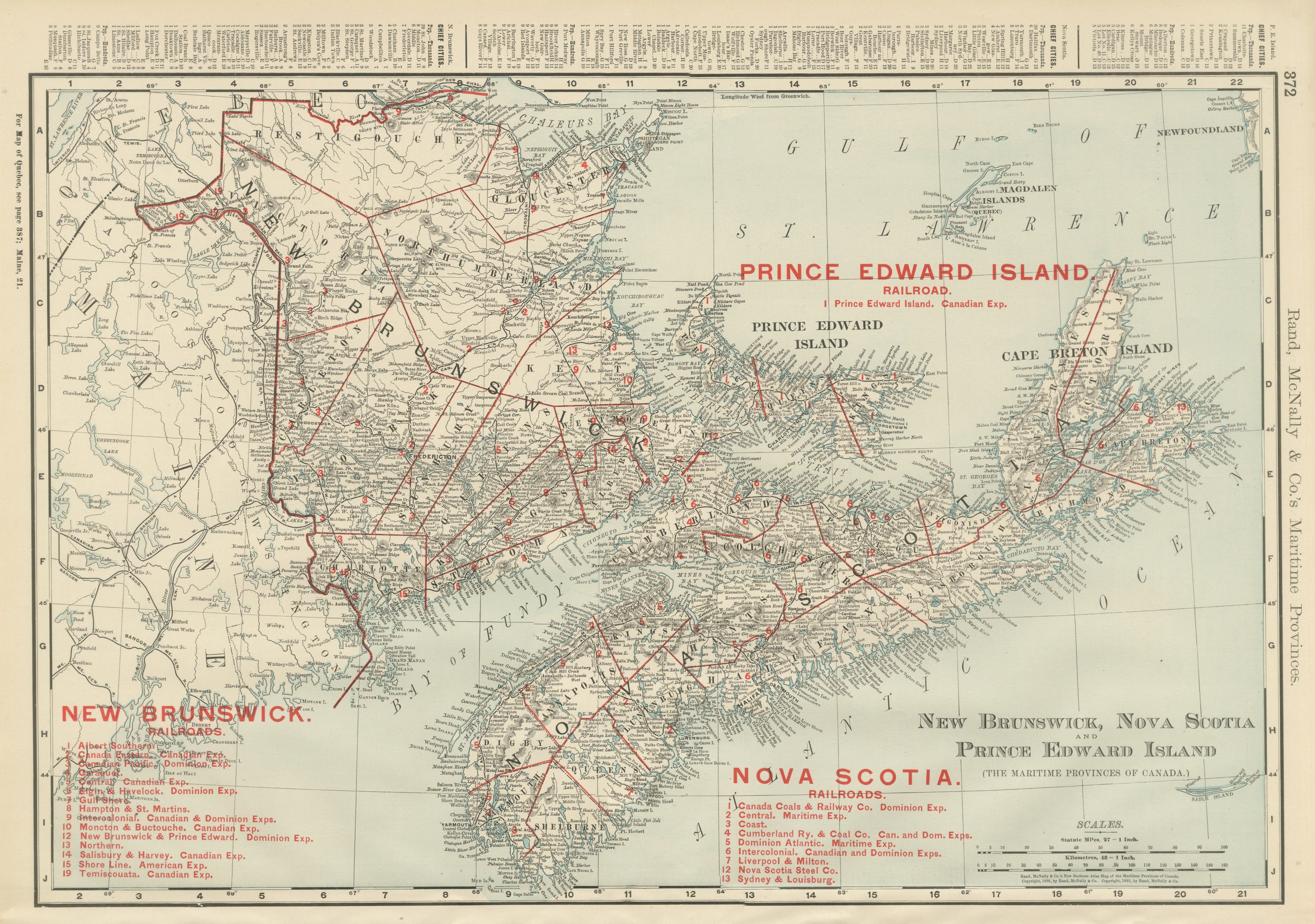
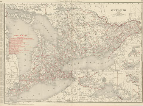
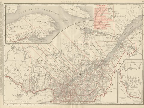
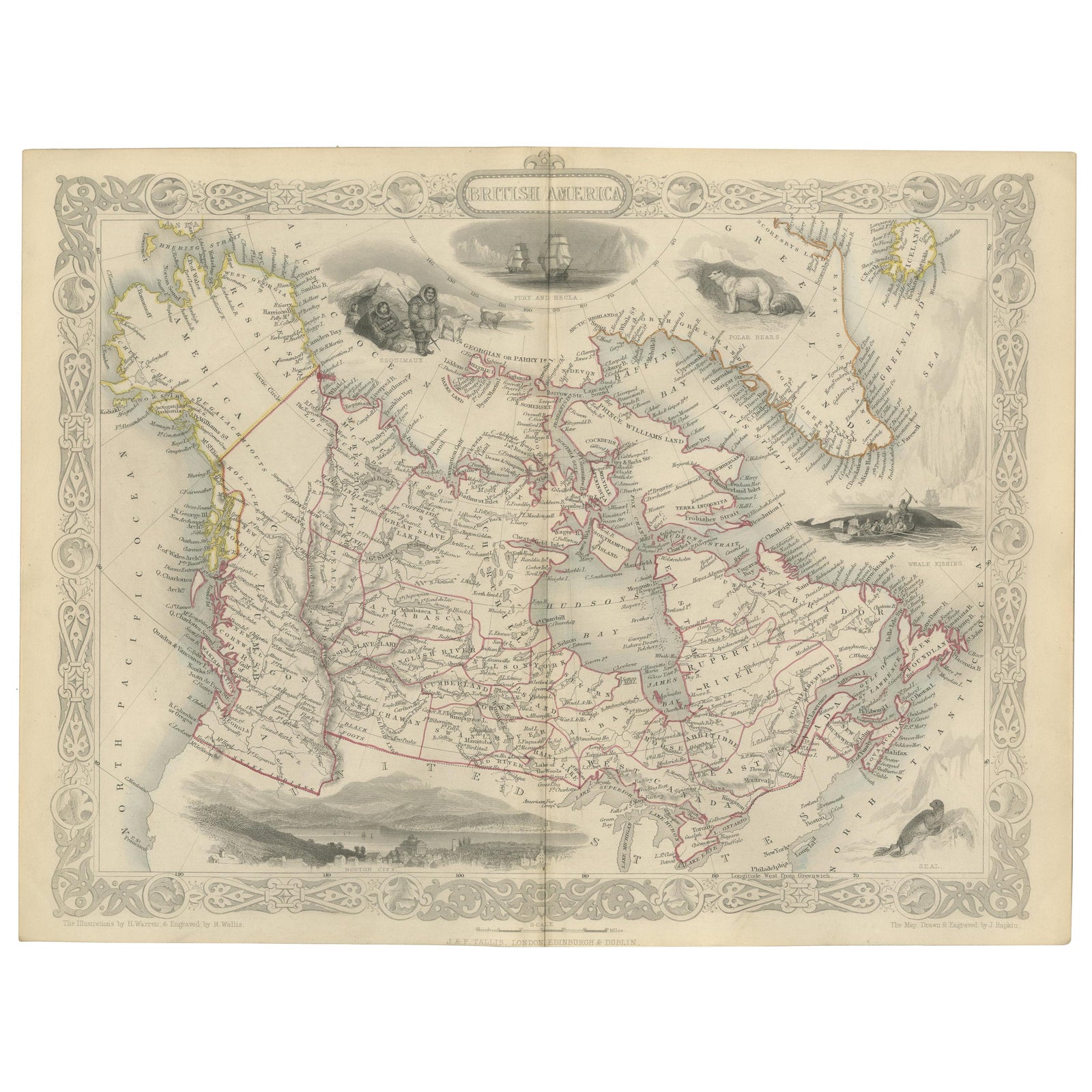
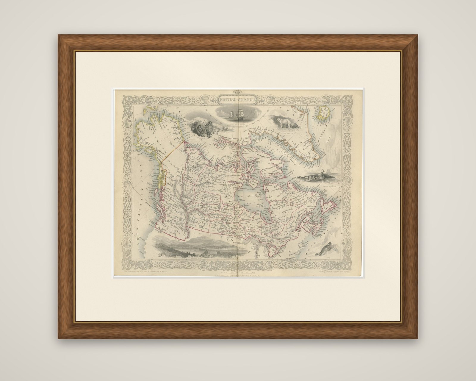
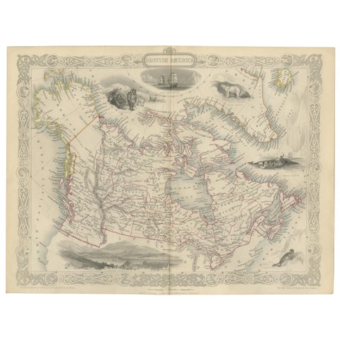
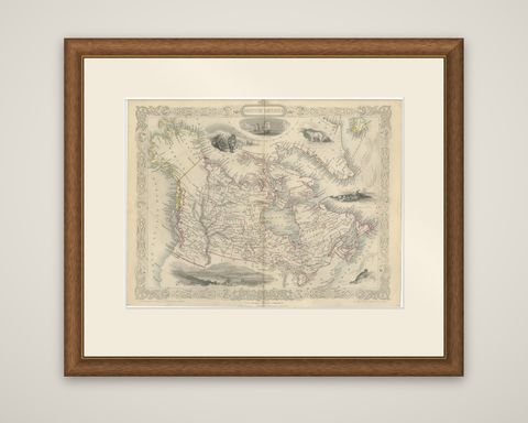
Antique Map of British America by Tallis 'c.1850'
$560
€500 · dollar price at today's exchange rate
Shipping to the United States: $51 standard, $73 express, insured and tracked.
- Date
- 1850
- Maker
- John Tallis
- Kind
- Maps
- Size
- 26.5 × 35 cm (10.4 × 13.8 in)
- Condition
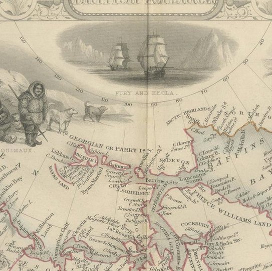
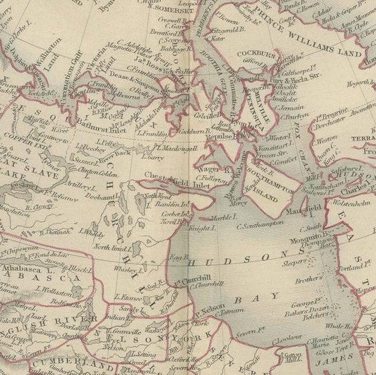
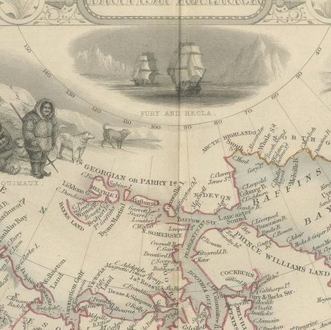
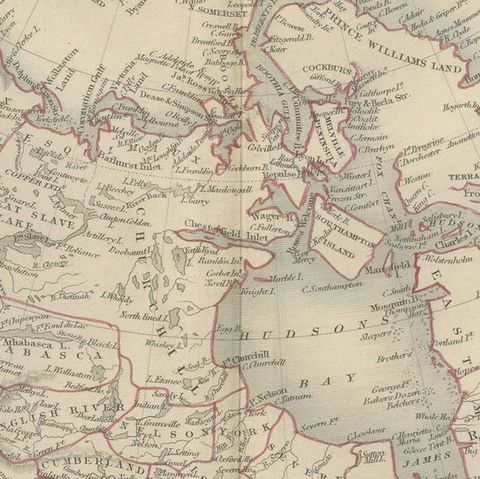
- Good. General age-related toning, original folding line. Minor wear, blank verso. Please study image carefully.
- Period
- Westward Expansion & Civil War
- Places
- Canada
- Reference
- BG-13016-2-6
What the condition grades mean
- Excellent
- Bright and clean, with no faults worth mentioning.
- Very good
- Only light signs of age, such as faint toning.
- Good
- Normal signs of age for a sheet of this period: toning, some foxing, small marks or neat old repairs.
- Fair
- Clear faults such as staining, tears or repairs, priced to match.
Every fault we see is written in the condition note, and the whole sheet is shown uncropped in the photos.
Guaranteed original. This is an original of the period stated, not a later reproduction or print-on-demand copy. If it is ever shown to be otherwise, we refund you in full.
Shipping to the United States. Sent from our gallery in Langweer, the Netherlands, flat between boards or rolled in a tube, and fully insured. Delivery and import charges.