Antique maps & prints by
John Tallis
★ 16 original pieces ★
John Tallis of London published his Illustrated Atlas around 1851, its maps framed by decorative borders and small engraved vignettes.
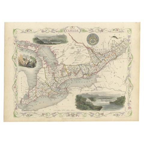
Beautiful Decorative Hand-Colored Antique Map of West Canada, 1851
1851 · John Tallis
$1,065
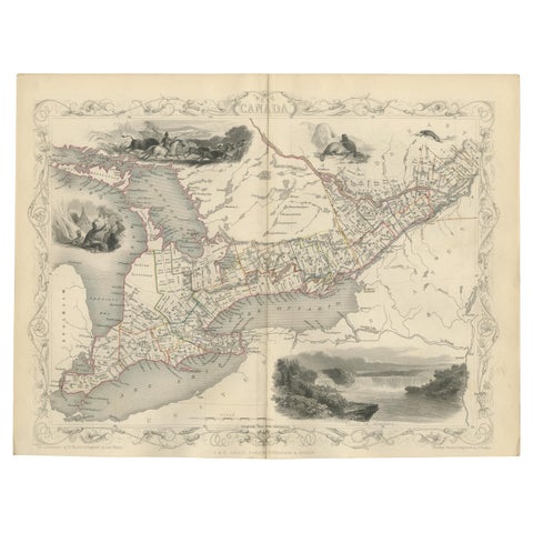
Antique Map of West Canada by Tallis 'c.1850'
1850 · John Tallis
$615
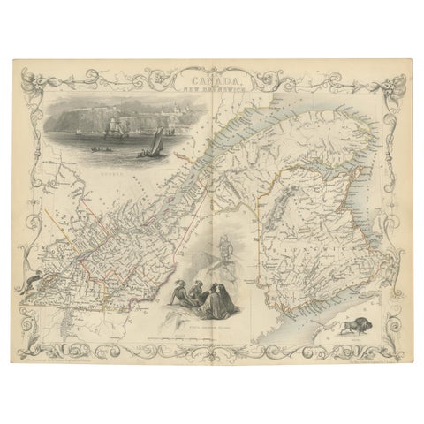
Antique Map of East Canada 'Quebec and New Brunswick' by Tallis 'c.1850'
1850 · John Tallis
$560
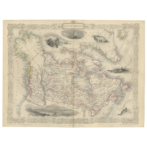
Antique Map of British America by Tallis 'c.1850'
1850 · John Tallis
$560
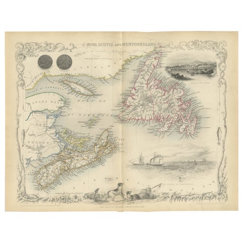
A Decorative Map of Nova Scotia and Newfoundland by John Tallis, 1851
1851 · John Tallis
$380
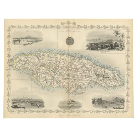
An Ornate and Historical Tallis Map of Jamaica with Decorative Vignettes, 1851
1851 · John Tallis
$370
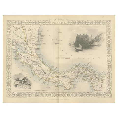
Crossroads of Empires: A John Tallis Map of the Isthmus of Panama, 1851
1851 · John Tallis
$325
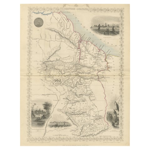
A Tallis Map of British Guiana with Colonial Vignettes and Other Landmarks, 1851
1851 · John Tallis
$325
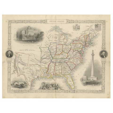
Ornate 1850s Map of the United States: Featuring Iconic Landmarks and Portrets
John Tallis
$315
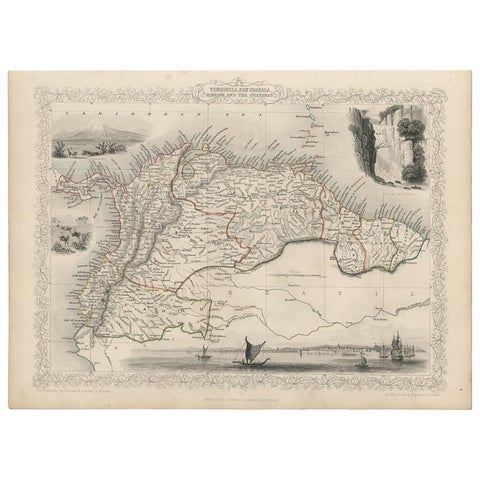
Antique Map of the Northern Part of South America by J. Tallis, circa 1851
1851 · John Tallis
$315
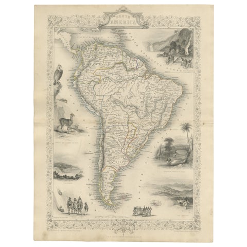
Ornate 1850s Map of South America: A Masterpiece of Exploration & Art by Rapkin
John Tallis
$290
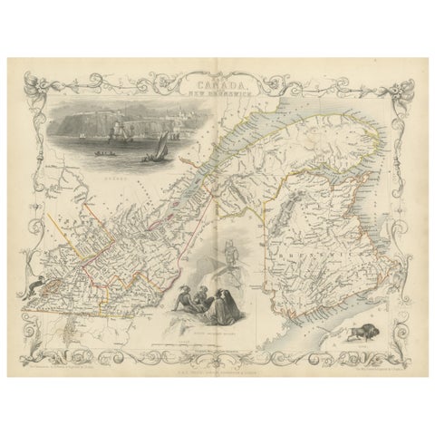
Decorative 1850s Map of Eastern Canada and New Brunswick with Historic Vignettes
John Tallis
$190
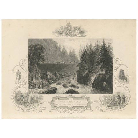
Antique Engraving of the Erie Canal and Little Falls on the River Mohawk, c.1850
1850 · John Tallis
$145
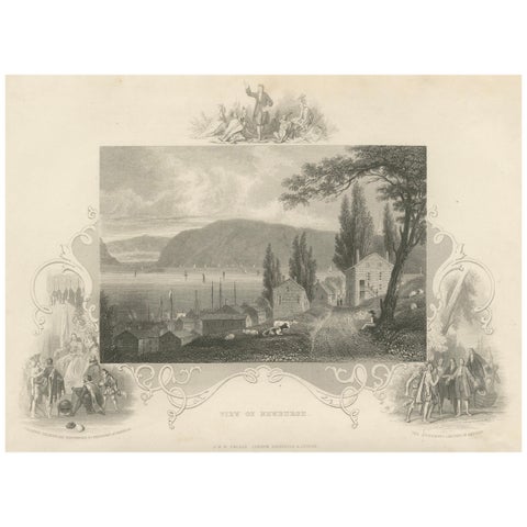
Hudson River View of Newburgh NY – Antique Engraving from c. 1850
1850 · John Tallis
$145
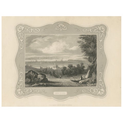
Panoramic View of New York City – Antique Engraving, c. 1850
1850 · John Tallis
$145
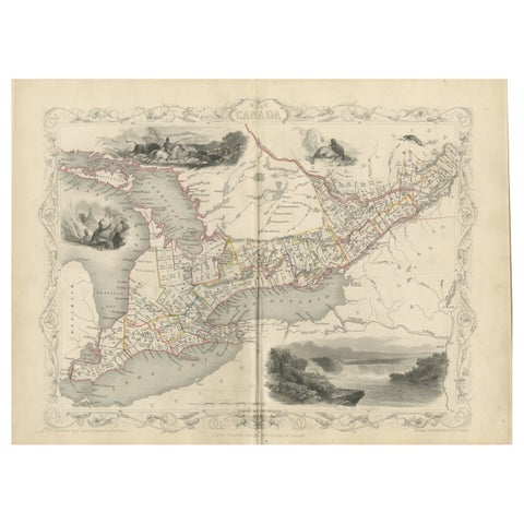
A 19th-Century Map of West Canada with Niagara Falls and Indigenous Scenes
circa 1850 · John Tallis
$125
★
Other mapmakers and artists
Rand McNally
135 pieces
J. H. Colton
5 pieces
A. J. Johnson
14 pieces
John James Audubon
10 pieces
Mark Catesby
5 pieces
Blaeu
14 pieces
Theodor de Bry
10 pieces
Montanus & Ogilby
9 pieces
Frederick de Wit
3 pieces
Guillaume Delisle
9 pieces
Jacques-Nicolas Bellin
15 pieces
Robert de Vaugondy
5 pieces
Rigobert Bonne
27 pieces
Homann Heirs
3 pieces
Thomas Kitchin
6 pieces
Emanuel Bowen
13 pieces
John Thomson
4 pieces
Adam & Charles Black
13 pieces
W. & A. K. Johnston
34 pieces
Stieler
12 pieces
Meyer
15 pieces
Van Keulen
3 pieces
Captain Cook voyages
17 pieces
La Perouse
4 pieces
Alexander von Humboldt
3 pieces
Auguste Wahlen
5 pieces