Antique maps & prints by
John Thomson
★ 4 original pieces ★
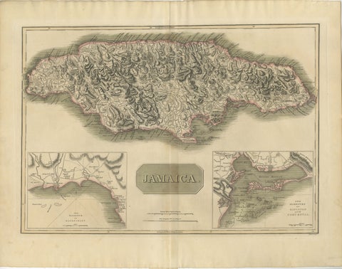
Jamaica Map by John Thomson, Kingston & Port Royal Harbors, c.1817
1817 · John Thomson
$1,090
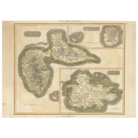
1821 Thomson Map of Guadeloupe, Marie-Galante and Antigua in the West Indies
1821 · John Thomson
$650
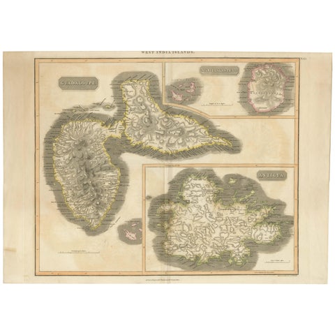
Large Antique Map of Guadeloupe and Antigua with Adjacent Isles, 19th Century
circa 1817 · John Thomson
$490
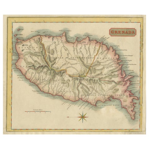
Copper Engraved Grenada Map by John Thompson Published in 1810
1810 · John Thomson
$255
★
Other mapmakers and artists
Rand McNally
135 pieces
J. H. Colton
5 pieces
A. J. Johnson
14 pieces
John James Audubon
10 pieces
Mark Catesby
5 pieces
Blaeu
14 pieces
Theodor de Bry
10 pieces
Montanus & Ogilby
9 pieces
Frederick de Wit
3 pieces
Guillaume Delisle
9 pieces
Jacques-Nicolas Bellin
15 pieces
Robert de Vaugondy
5 pieces
Rigobert Bonne
27 pieces
Homann Heirs
3 pieces
Thomas Kitchin
6 pieces
Emanuel Bowen
13 pieces
John Tallis
16 pieces
Adam & Charles Black
13 pieces
W. & A. K. Johnston
34 pieces
Stieler
12 pieces
Meyer
15 pieces
Van Keulen
3 pieces
Captain Cook voyages
17 pieces
La Perouse
4 pieces
Alexander von Humboldt
3 pieces
Auguste Wahlen
5 pieces