Original antique maps & prints of
Arizona
★ 6 original pieces ★
Part of New Mexico Territory until 1863, Arizona was admitted as a state in 1912, the last of the contiguous forty-eight. We currently hold 6 original sheets of Arizona, published between 1701 and 1909. Of these, 6 are maps and 5 are views and prints. The earliest is Old Map of the Overland Route to California – Early Exploration Pathways, 1701.
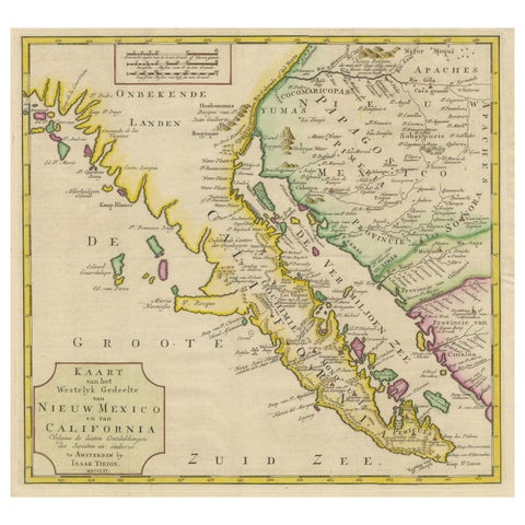
Antique Map of Baja California and parts of Alta California, Arizona and Sonora
1765
$1,110
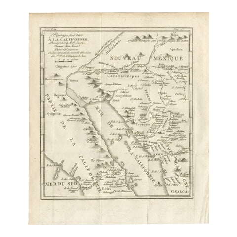
Old Map of the Overland Route to California – Early Exploration Pathways, 1701
1701
$550
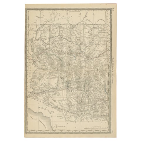
Rare 1888 Map of Arizona – Railroads, Mines & Early Frontier Settlements
1888 · Rand McNally
$535
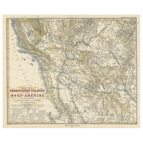
Antique Map of Part of the United States Including Lower California & Arizona
circa 1879 · Stieler
$490
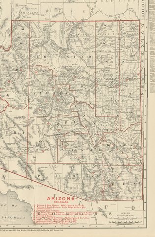
Antique Map of Arizona Territory, with the Grand Canyon, Rand McNally, 1899
1899 · Rand McNally
$440
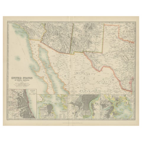
Antique Map of the United States of North America by Johnston '1909'
1909 · W. & A. K. Johnston
$390
★
More of The Southwest