Original antique maps & prints of
Arkansas
★ 6 original pieces ★
Organised as a territory in 1819, Arkansas was admitted as a state in 1836. We currently hold 6 original sheets of Arkansas, published between 1846 and 1899. Of these, 6 are maps and 4 are views and prints. The earliest is Antique Map of the Southern United States with Inset Map of New Orleans.
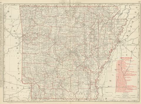
Antique Map of Arkansas, with Hot Springs, Rand McNally, 1899
1899 · Rand McNally
$385
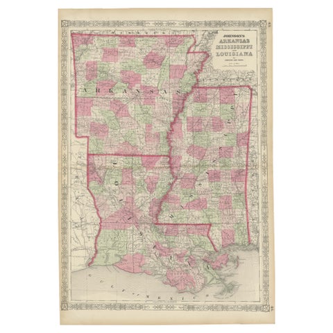
Rare 1864 Civil War Era Map of Arkansas, Mississippi, and Louisiana
1864
$380
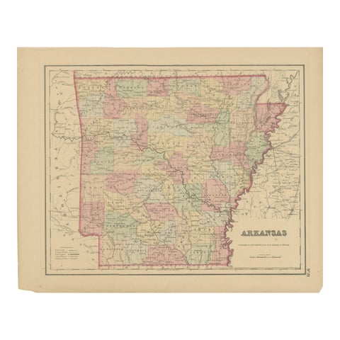
Arkansas Map by Colton, USA Published c.1864 – Hand-Colored County Map
1864 · J. H. Colton
$370
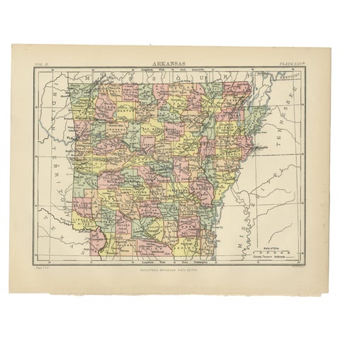
Antique Map of Arkansas from Encyclopaedia Britannica, 1875
1875
$325
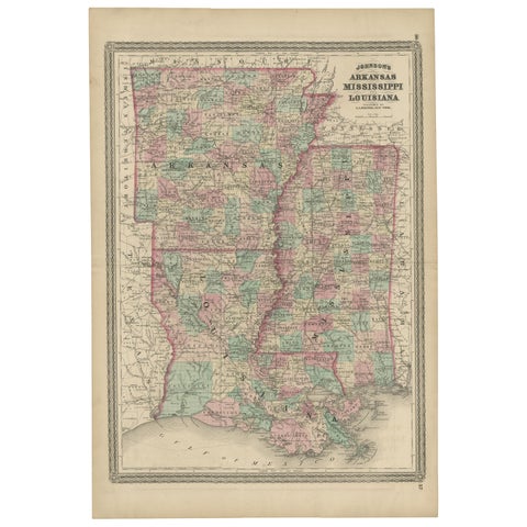
Antique Map of Arkansas, Mississippi and Louisiana by Johnson, 1872
1872 · A. J. Johnson
$280
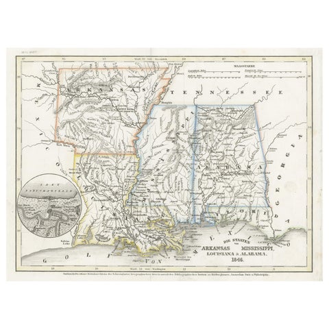
Antique Map of the Southern United States with Inset Map of New Orleans
1846 · Meyer
$155
★
More of The South