Original antique maps & prints of
Hawaii
★ 39 original pieces ★
Called the Sandwich Islands by Captain Cook in 1778, Hawaii was annexed by the United States in 1898 and became a state in 1959. We currently hold 39 original sheets of Hawaii, published between 1778 and 1960. Of these, 6 are maps and 33 are views and prints. The earliest is The Ceremonial Offering to Captain Cook in Hawaii, Engraved in 1778.
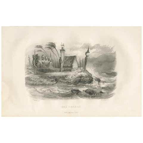
Antique Print of the Hale o Keawe of Hawaii by D'Urville, 1853
1853
$280
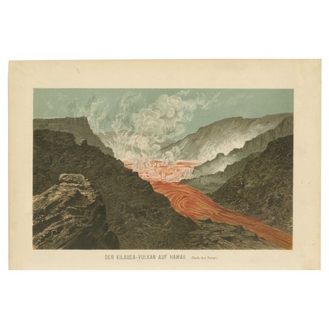
Fiery Majesty: The Volcano Eruption of Kilauea on Hawaii, 1895
1895
$270
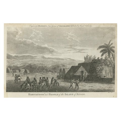
Daily Life in Atooi: An 18th-Century View of Kauai and Its People, circa 1785
1785
$270
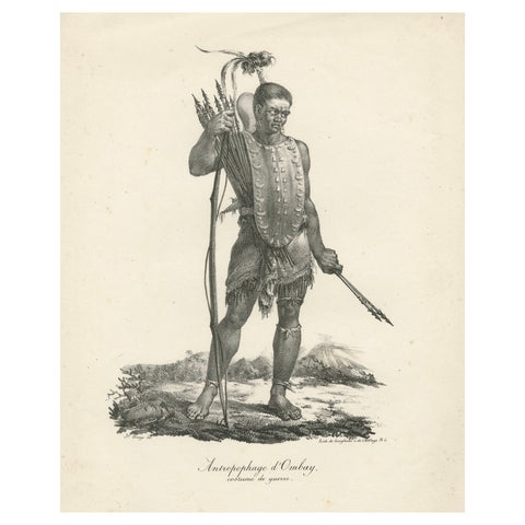
Warrior of Owhyhee (Hawaii) - Anthropophage in War Costume, 1785 Engraving
1785
$270
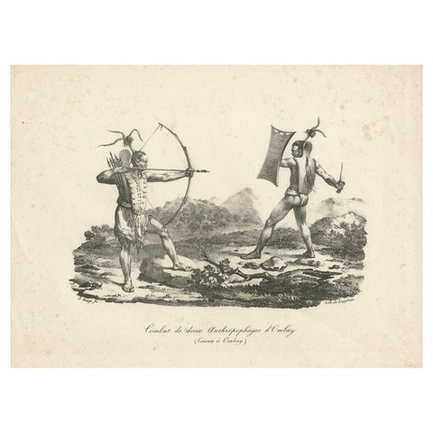
Battle in Owhyhee (Hawaii) - Combat of Two Anthropophages, 1785 Engraving
1785
$270
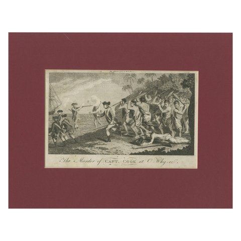
End of an Odyssey: The Fall of Captain James Cook in Hawaii in 1779
1779 · Captain Cook voyages
$255
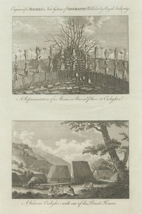
Hawaii Religious Site & Village Engravings, Owhyhee, Cook Voyage, c.1790
1790 · Captain Cook voyages
$245
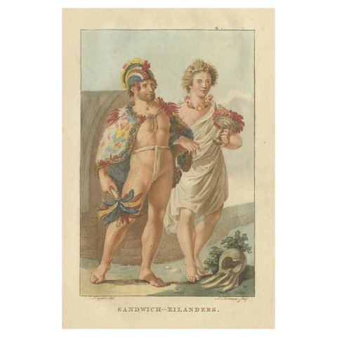
Hawaii Islanders – Antique Hand-Colored Ethnographic Engraving (c.1800)
1800
$235
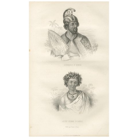
Antique Print of a Warrior and Young Lady of Hawaii by D'urville (1853)
1853
$225
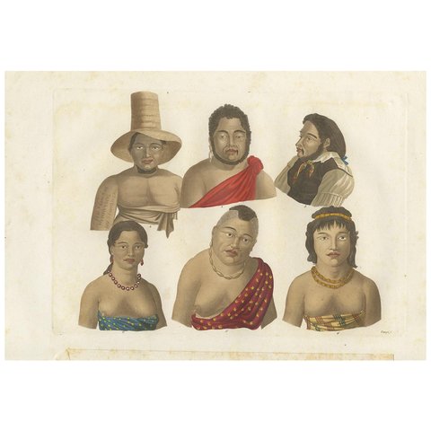
Antique Print of Inhabitants of the Region of the Sandwich Islands by Ferrario
1831
$225
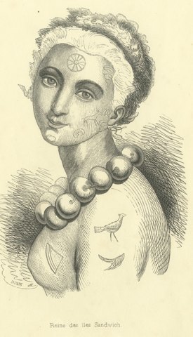
Queen of the Sandwich Islands, Antique Wahlen Costume Print, 1843-1844
1843-1844 · Auguste Wahlen
$160
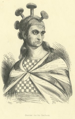
Warrior of the Sandwich Islands, Antique Wahlen Costume Print, 1843-1844
1843-1844 · Auguste Wahlen
$160
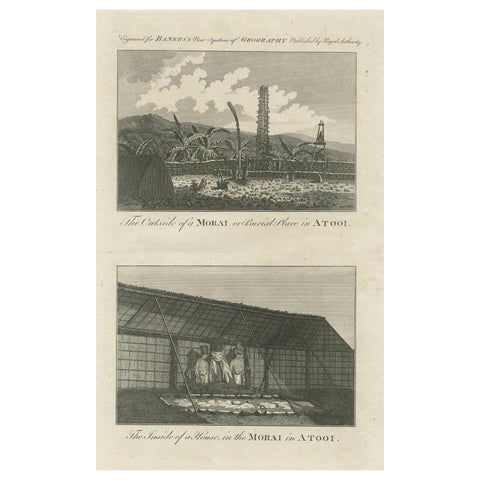
18th-Century Engraving of Hawaiian Morai and House Interior, c. 1780s
$155
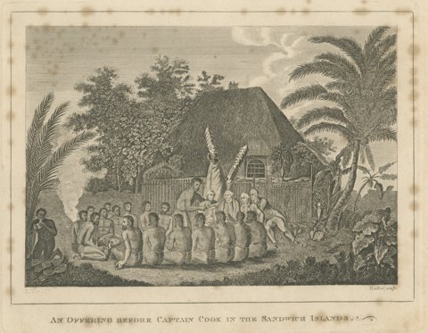
Offering Before Captain Cook, Hawaii, after Webber, Engraving, circa 1790
circa 1790 · Captain Cook voyages
$125
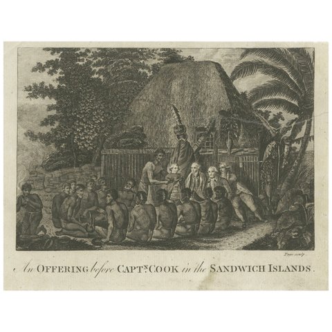
Ceremonial Tribute to Captain Cook in the Hawaiian Archipelago, circa 1790
1790 · Captain Cook voyages
$65
← PreviousPage 2 of 2
★
More of The Pacific Coast