Original antique maps & prints of
Kentucky
★ 6 original pieces ★
Admitted in 1792, Kentucky was the first state west of the Appalachian Mountains. We currently hold 6 original sheets of Kentucky, published between 1864 and 1899. The earliest is Civil War Era Map of Kentucky and Tennessee with Scenic Insets, Published 1864.

Antique Map of the Coal Fields of the United States by Walker '1874'
1874
$760
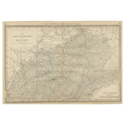
Antique Map of Kentucky & Tennessee – The Bluegrass & Volunteer States, 1888
1888 · Rand McNally
$515
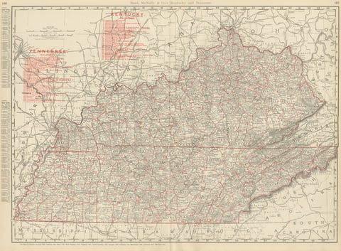
Antique Map of Kentucky and Tennessee, with the Bluegrass Region, 1899
1899 · Rand McNally
$440
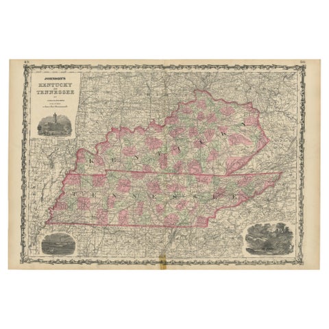
Civil War Era Map of Kentucky and Tennessee with Scenic Insets, Published 1864
1864
$380
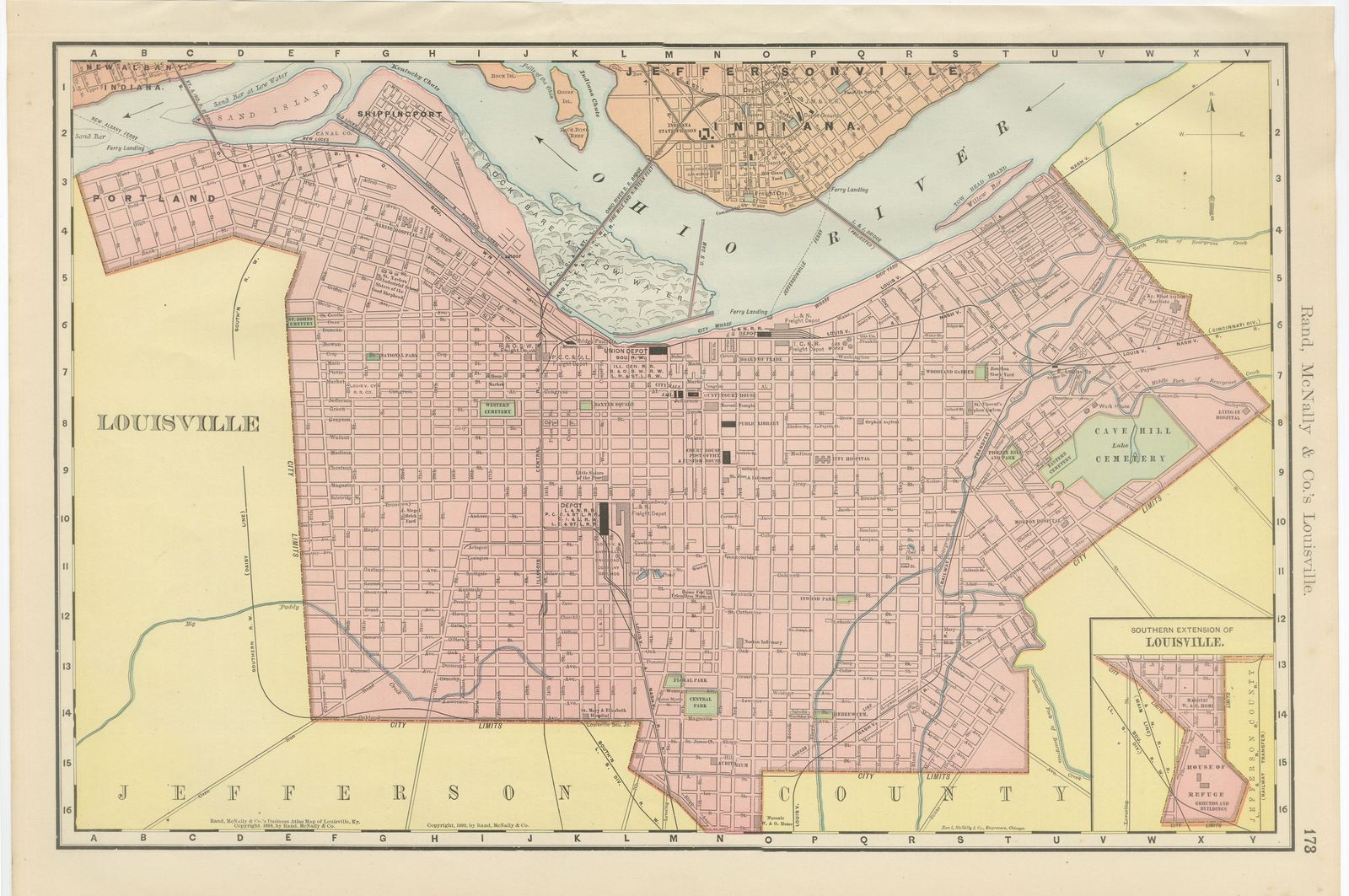
Antique Map of Louisville, Kentucky, on the Ohio River, Rand McNally, 1899
1899 · Rand McNally
$330
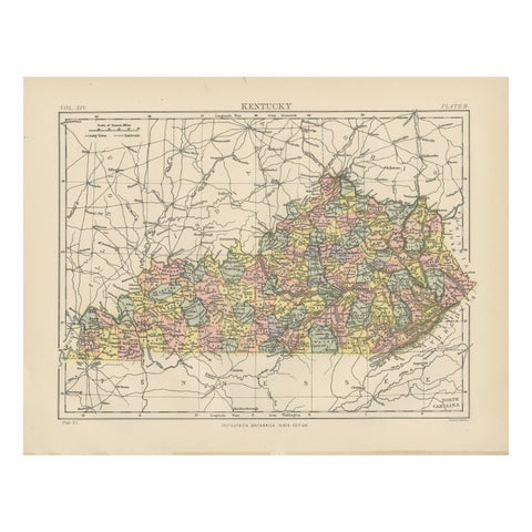
Antique Map of Kentucky
1882
$325
★
More of The South