Original antique maps & prints of
Mississippi
★ 6 original pieces ★
Admitted in 1817, Mississippi and its river towns of Natchez and Vicksburg appear on maps of the cotton South and the Civil War. We currently hold 6 original sheets of Mississippi, published between 1780 and 1899. Of these, 6 are maps and 1 is a view or print. The earliest is Antique Map Louisiana & Mississippi Valley, Florida Region, Bonne c.1780.
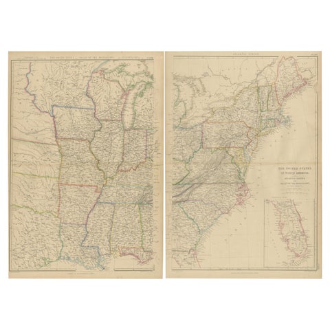
Set of 2 Antique Maps of the United States by W. G. Blackie, 1859
1859
$660
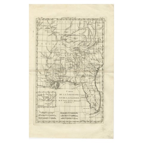
Antique Map Louisiana & Mississippi Valley, Florida Region, Bonne c.1780
1780 · Rigobert Bonne
$390
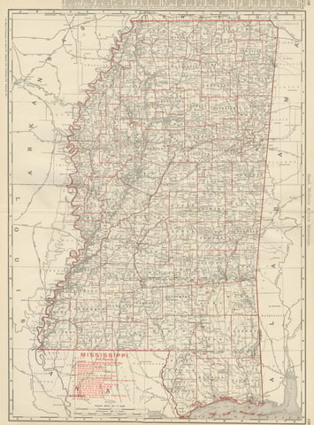
Antique Map of Mississippi, The Magnolia State, Rand McNally, 1899
1899 · Rand McNally
$385
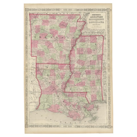
Rare 1864 Civil War Era Map of Arkansas, Mississippi, and Louisiana
1864
$380
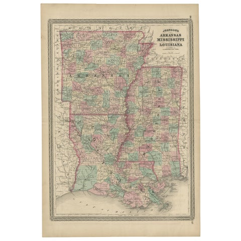
Antique Map of Arkansas, Mississippi and Louisiana by Johnson, 1872
1872 · A. J. Johnson
$280
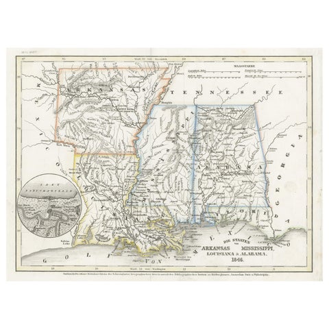
Antique Map of the Southern United States with Inset Map of New Orleans
1846 · Meyer
$155
★
More of The South