A Bartele Gallery CollectionLangweer · Jakarta

American Maps & Prints
Original antique maps, charts & prints of the Americas ★ Originals only


Home › United States › The Great Plains
Original antique maps & prints of

Oklahoma

★ 1 original piece ★

Much of present Oklahoma was Indian Territory, set aside for the removed Cherokee, Creek, Choctaw, Chickasaw and Seminole nations. It became a state in 1907. We currently hold 1 original sheet of Oklahoma, published between 1843 and 1899. Of these, 3 are maps and 2 are views and prints.
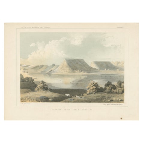
Scenic Canadian River Landscape, Camp 38 – Between Witchita and Oklahoma, 1856
1856
$245
★

More of The Great Plains


Kansas
5 pieces
Nebraska
6 pieces
North Dakota
10 pieces
South Dakota
3 pieces

Your favorites

Saved in this browser. Email the list to yourself to keep it on any device.

We use your email to send this list and, only if you tick the box and confirm, for occasional new arrivals. Every email has an unsubscribe link. Bartele Gallery, the Netherlands.

Your bag

Total

Each piece is bought on its own; shipping is added at checkout.