A Bartele Gallery CollectionLangweer · Jakarta

American Maps & Prints
Original antique maps, charts & prints of the Americas ★ Originals only


Home › United States › Mid-Atlantic
Original antique maps & prints of

Pennsylvania

★ 4 original pieces ★

William Penn's colony, chartered in 1681, became the industrial and railroad heart of the nineteenth-century United States. We currently hold 4 original sheets of Pennsylvania, published between 1719 and 1899. Of these, 16 are maps and 6 are views and prints. The earliest is Rare French Colonial America Map, Jamaica Barbados Carolina, c.1719.
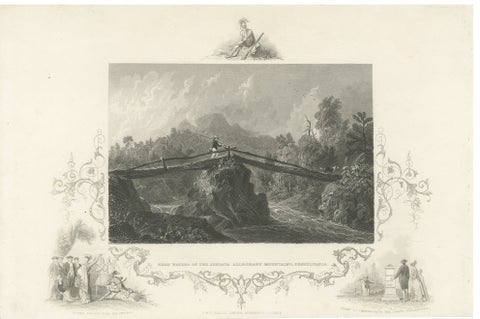
Juniata Alleghany Mountains - Antique Engraving, Pennsylvania View, ca.1830
1830
$370
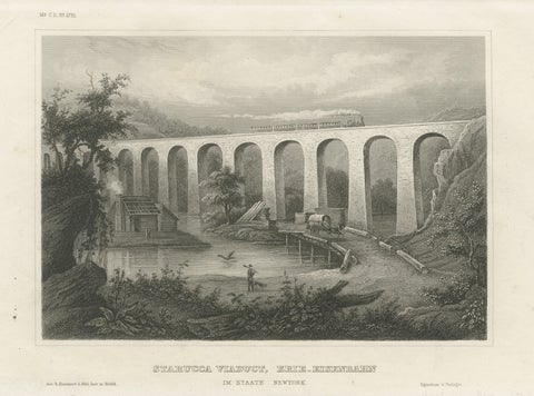
Starucca Viaduct, Erie Railroad – Antique New York Railway Engraving, ca.1850
1850
$345
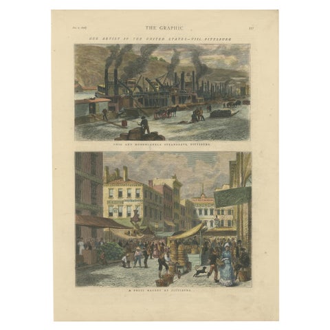
Industrial and Daily Life in Pittsburg - Published in The Graphic, 1876.
1876
$245
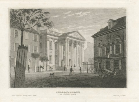
Antique Philadelphia View, Girard’s Bank, Neoclassical Architecture, 1855
1855
$245
★

More of Mid-Atlantic


Delaware
6 pieces
Washington, D.C.
4 pieces
Maryland
9 pieces
New Jersey
10 pieces
New York
53 pieces

Your favorites

Saved in this browser. Email the list to yourself to keep it on any device.

We use your email to send this list and, only if you tick the box and confirm, for occasional new arrivals. Every email has an unsubscribe link. Bartele Gallery, the Netherlands.

Your bag

Total

Each piece is bought on its own; shipping is added at checkout.