Original antique maps & prints of
Pennsylvania
★ 16 original pieces ★
William Penn's colony, chartered in 1681, became the industrial and railroad heart of the nineteenth-century United States. We currently hold 16 original sheets of Pennsylvania, published between 1719 and 1899. Of these, 16 are maps and 6 are views and prints. The earliest is Rare French Colonial America Map, Jamaica Barbados Carolina, c.1719.
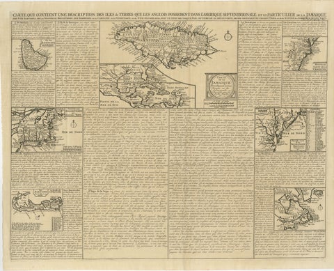
Rare French Colonial America Map, Jamaica Barbados Carolina, c.1719
1719
$1,450

Antique Map of the Coal Fields of the United States by Walker '1874'
1874
$760
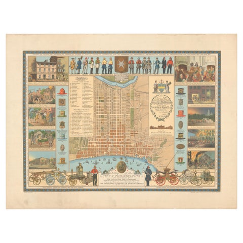
Map of Philadelphia with a Historical Tribute to its Volunteer Fire Companies
$625
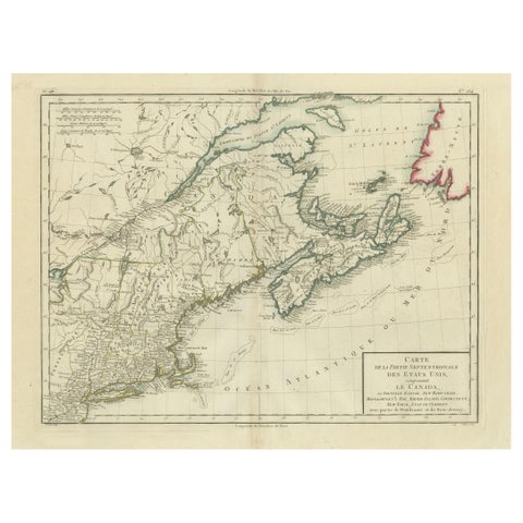
Antique Map of the Northeastern United States and Canada by Tardieu, 1802
1802
$625
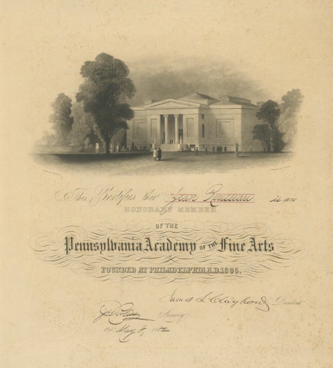
Pennsylvania Academy of the Fine Arts Honorary Membership Certificate, 1882
1882
$525
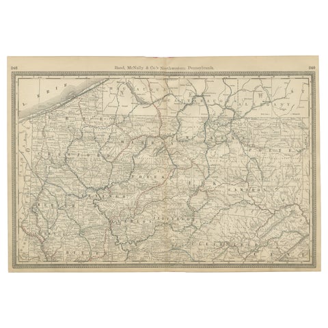
Pennsylvania Antique Map c.1888 – The Keystone State, Northwestern Counties
1888 · Rand McNally
$515
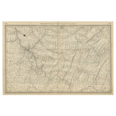
Southwestern Pennsylvania Antique Map c.1888 – Keystone State Counties & Cities
1888 · Rand McNally
$515
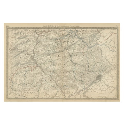
Pennsylvania 1888 Antique Map – The Keystone State, Southeastern Railroads
1888 · Rand McNally
$515
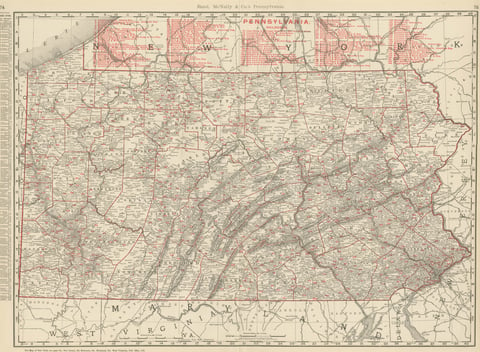
Antique Map of Pennsylvania, The Keystone State, Rand McNally, 1899
1899 · Rand McNally
$440
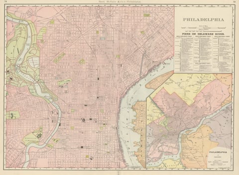
Antique Map of Philadelphia, with Delaware River Piers, Rand McNally, 1899
1899 · Rand McNally
$440
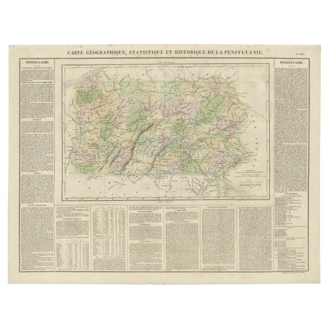
Original Antique Map of Pennsylvania Showing Interesting Statistics Etc, 1825
1825
$390
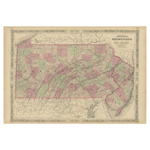
Historic 1864 Civil War Map of Pennsylvania and New Jersey with Coastal Focus
1864
$380
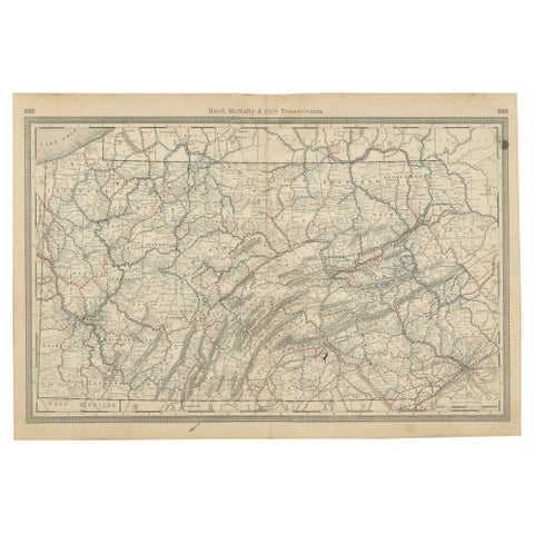
Antique Pennsylvania Map Wall Art – Railroads, Mountains & Cities, Rand McNally
Rand McNally
$380
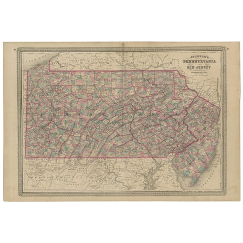
Antique Map of Pennsylvania and New Jersey by Johnson, 1872
1872 · A. J. Johnson
$360
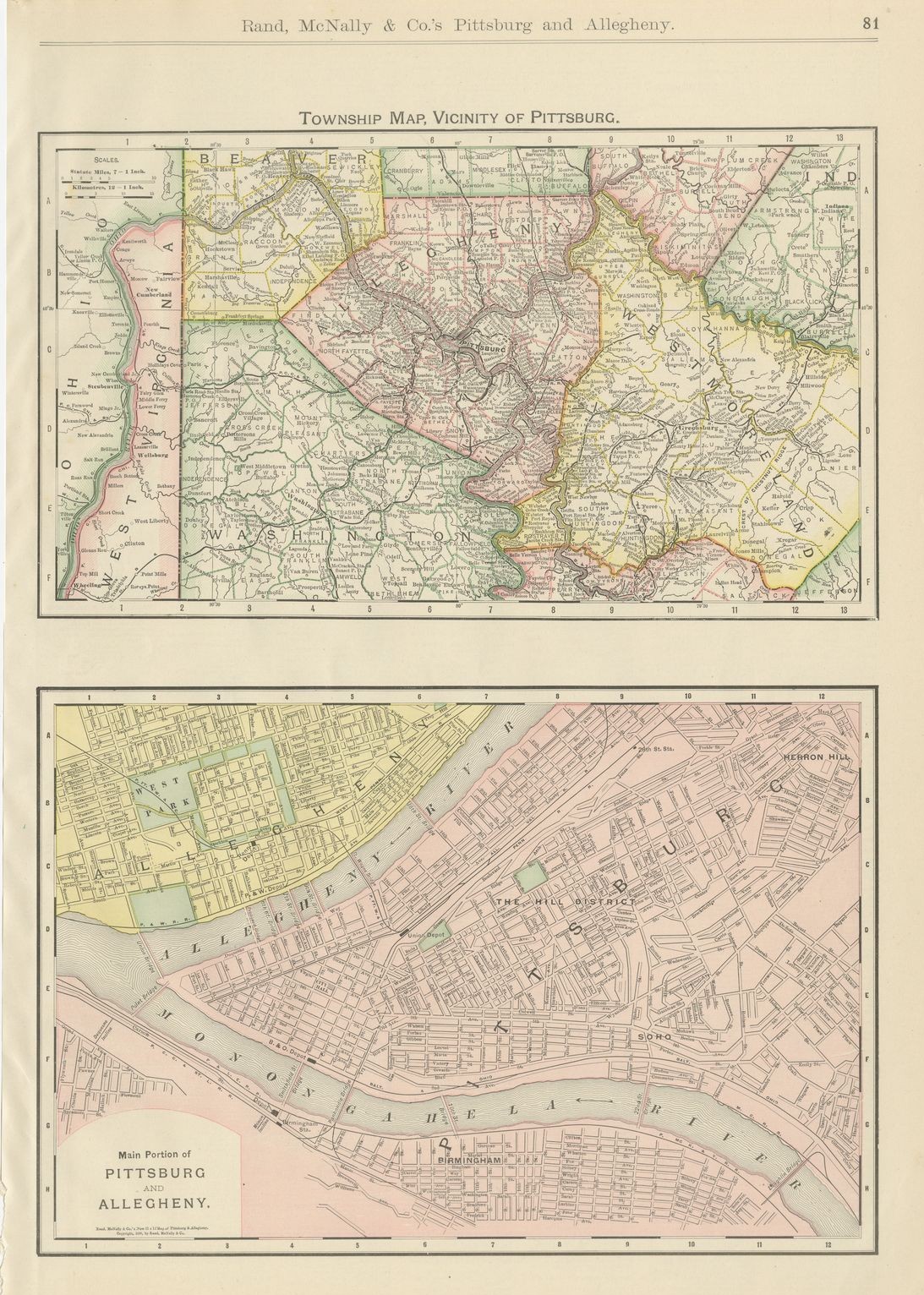
Antique Map of Pittsburg and Allegheny, The Steel City, Rand McNally, 1899
1899 · Rand McNally
$330
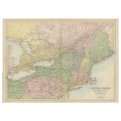
Antique Map of The United States and Canada by A & C. Black, 1870
1870 · Adam & Charles Black
$280
★
More of Mid-Atlantic