Original antique maps & prints of
South Dakota
★ 3 original pieces ★
Dakota Territory was organized in 1861 and divided into North and South Dakota, both admitted in 1889. The Black Hills gold rush of the 1870s shaped its early maps. We currently hold 3 original sheets of South Dakota, published between 1864 and 1899. The earliest is Minnesota and Dakota Map – Johnson, Hand-Colored, USA c.1864.
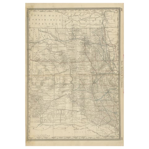
Dakota Territory Railroad Map 1888 – Rand McNally Antique Lithograph
1888 · Rand McNally
$515
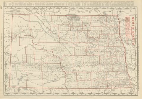
Antique Map of North Dakota, with Fort Berthold Reservation, Rand McNally, 1899
1899 · Rand McNally
$385
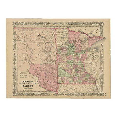
Minnesota and Dakota Map – Johnson, Hand-Colored, USA c.1864
1864
$325
★
More of The Great Plains