A Bartele Gallery CollectionLangweer · Jakarta

American Maps & Prints
Original antique maps, charts & prints of the Americas ★ Originals only


Home › United States › The South
Original antique maps & prints of

Tennessee

★ 3 original pieces ★

Tennessee was admitted as a state in 1796, the sixteenth state of the Union. We currently hold 3 original sheets of Tennessee, published between 1864 and 1899. The earliest is Civil War Era Map of Kentucky and Tennessee with Scenic Insets, Published 1864.
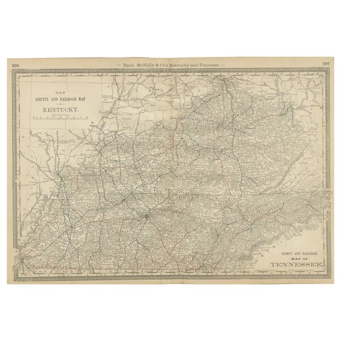
Antique Map of Kentucky & Tennessee – The Bluegrass & Volunteer States, 1888
1888 · Rand McNally
$515
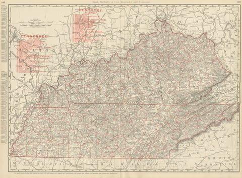
Antique Map of Kentucky and Tennessee, with the Bluegrass Region, 1899
1899 · Rand McNally
$440
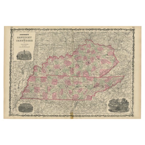
Civil War Era Map of Kentucky and Tennessee with Scenic Insets, Published 1864
1864
$380
★

More of The South


Alabama
5 pieces
Arkansas
10 pieces
Florida
27 pieces
Georgia
3 pieces
Kentucky
6 pieces
Louisiana
10 pieces
Mississippi
7 pieces
North Carolina
6 pieces
South Carolina
6 pieces
Virginia
20 pieces
West Virginia
6 pieces

Your favorites

Saved in this browser. Email the list to yourself to keep it on any device.

We use your email to send this list and, only if you tick the box and confirm, for occasional new arrivals. Every email has an unsubscribe link. Bartele Gallery, the Netherlands.

Your bag

Total

Each piece is bought on its own; shipping is added at checkout.