Original antique
Maps
★ 640 original pieces ★
Original antique maps, each removed from the atlas or book it was published in, or issued as a separate sheet. Never reproductions.
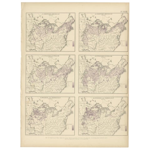
Pl. 28 Antique Chart of British American, English (..) US Population, 1874
1874
$505
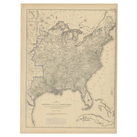
Pl. 29 Antique Chart of the US Illiteracy in 1870, '1874'
1870
$505
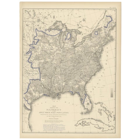
Antique Chart of the US Adult Male Illiteracy in 1870, '1874'
1870
$505
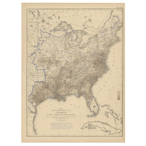
Pl. 22 Antique Chart of the US Colored Population Proportion in 1870, '1874'
1870
$505
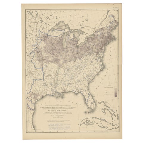
Pl. 23 Antique Chart of the US Foreign Parentage in 1870, '1874'
1870
$505
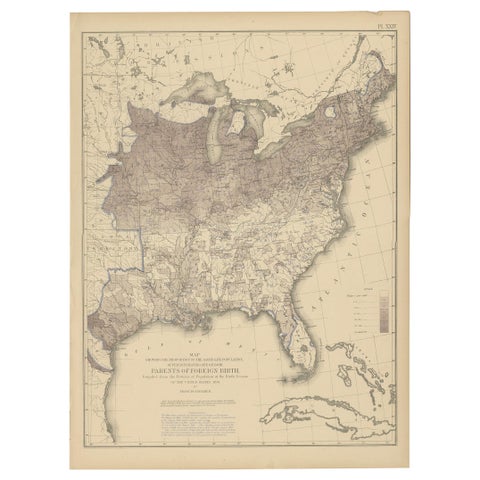
Antique Chart of the US Foreign Parentage Proportion in 1870, '1874'
1870
$505
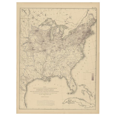
Pl. 25 Antique Chart of the US Foreign Population in 1870, '1874'
1870
$505
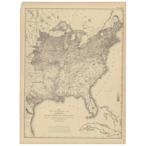
Pl. 26 Antique Chart of the US Foreign Population Proportion in 1870, '1874'
1870
$505
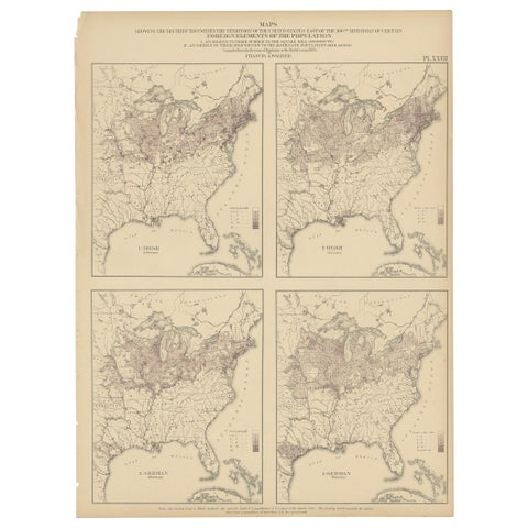
Antique Chart of the US Irish and German Population in 1870, '1874'
1870
$505
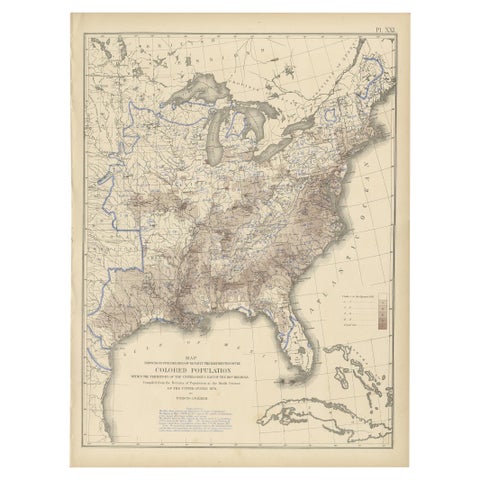
Pl. 21 Antique Chart of the US Colored Population Density in 1870, '1874'
1870
$505
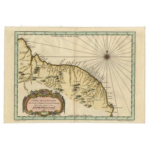
Old Map of Guyana, Suriname and French Guiana with Paramaribo and Cayenne, c1760
circa 1760 · Jacques-Nicolas Bellin
$505
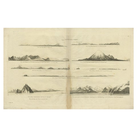
Antique Map of the West Coast of America with Island Views, ca.1784
1784 · Captain Cook voyages
$505
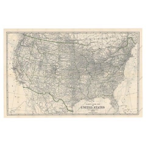
Old Map of the American Railroad Network and All Weather Roads on Verso, 1931
1931
$505
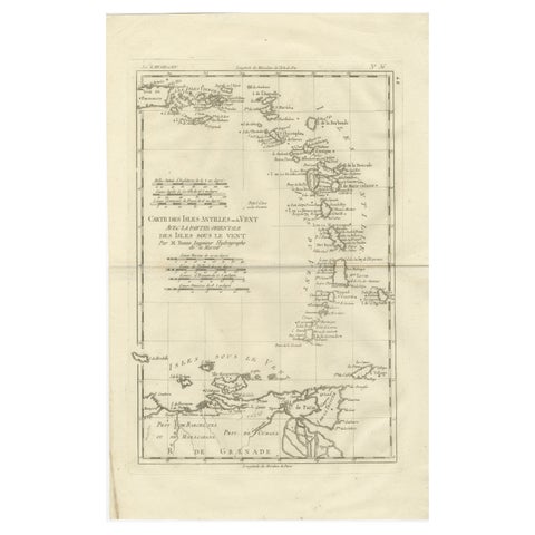
Caribbean & Lesser Antilles – Enlightenment Map by Rigobert Bonne, c.1780
1780 · Rigobert Bonne
$505
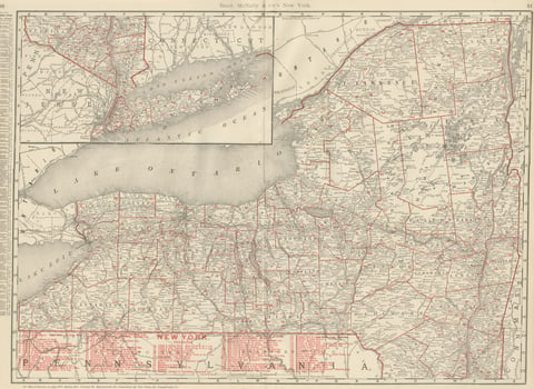
Antique Map of New York State, The Empire State, Rand McNally, 1899
1899 · Rand McNally
$500
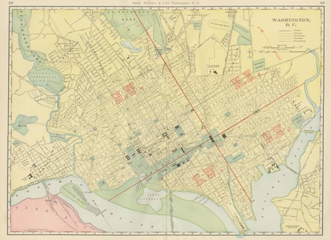
Antique Map of Washington, D.C., The Nation's Capital, Rand McNally, 1899
1899 · Rand McNally
$500
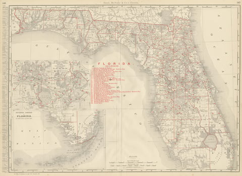
Antique Map of Florida, The Sunshine State, Rand McNally, 1899
1899 · Rand McNally
$500
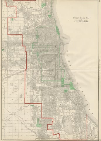
Antique Street Map of Chicago, with the Loop and Lakefront, Rand McNally, 1899
1899 · Rand McNally
$500
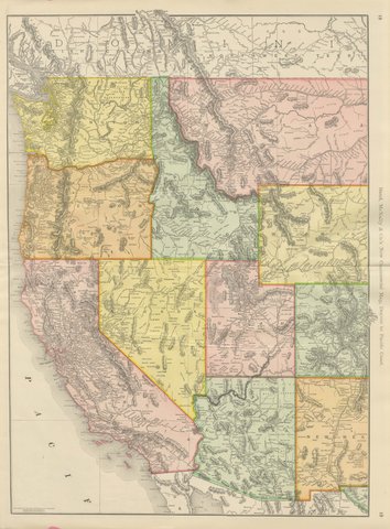
Antique Map of the Western United States, Denver to the Pacific Coast, 1899
1899 · Rand McNally
$500
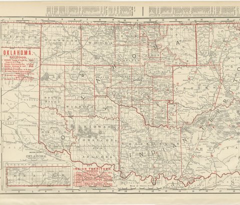
Antique Map of Oklahoma and Indian Territory, Before Statehood, 1899
1899 · Rand McNally
$500
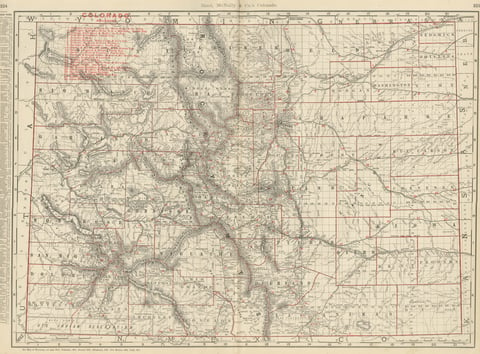
Antique Map of Colorado, The Centennial State, Rand McNally, 1899
1899 · Rand McNally
$500
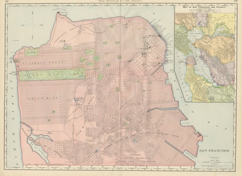
Antique Map of San Francisco, with Golden Gate Park, Rand McNally, 1899
1899 · Rand McNally
$500
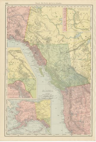
Antique Map of Alaska, with Klondike Gold Fields Inset, Rand McNally, 1899
1899 · Rand McNally
$500
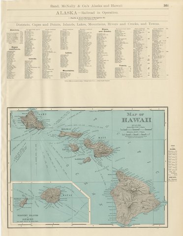
Antique Map of Hawaii, with Oahu and Honolulu, Rand McNally, 1899
1899 · Rand McNally
$500