Original antique
Maps
★ 640 original pieces ★
Original antique maps, each removed from the atlas or book it was published in, or issued as a separate sheet. Never reproductions.
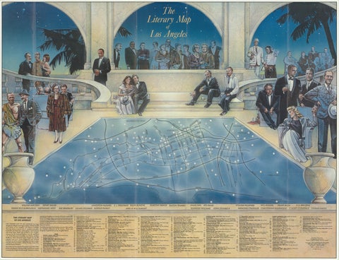
Vintage Literary Map of Los Angeles by Linda Ayriss, 1987
1987
$500
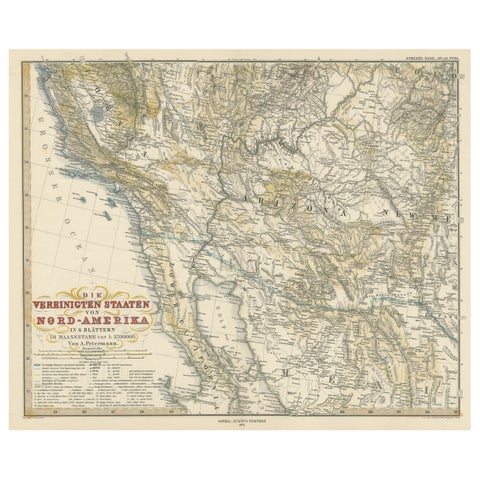
Antique Map of Part of the United States Including Lower California & Arizona
circa 1879 · Stieler
$490
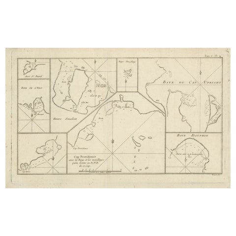
Antique Map of Cape Providence & St. David’s Cove – Strait of Magellan, 1774
1774
$490
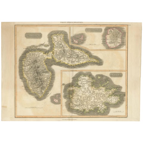
Large Antique Map of Guadeloupe and Antigua with Adjacent Isles, 19th Century
circa 1817 · John Thomson
$490
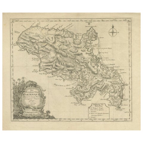
18th Century Original Dutch Map of Martinique in The West Indies by Isaak Tirion
$490
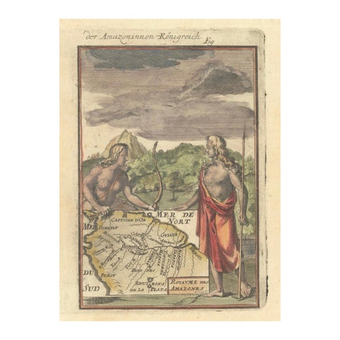
1684 Mallet Map of Amazon River & Kingdom of Amazons – Hand Colored, Miniature
1684
$490
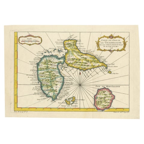
1758 Bellin Map of Guadeloupe and Marie-Galante – Caribbean Islands
1758 · Jacques-Nicolas Bellin
$490
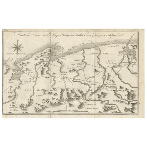
Antique Map of the Environs of Cap-Français, Saint-Domingue, c.1760
1760
$490
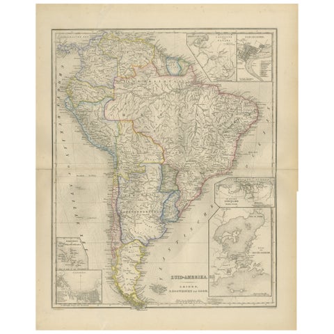
South America Map with Insets – Nieuwe Hand-Atlas, Noothoven van Goor, 1876
1876
$490
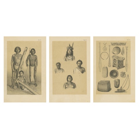
Suriname Indigenous People & Tribal Objects - Ethnographic Lithographs 1888
1888
$490
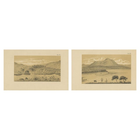
Aruba Landscape & Mountain Views - Dutch West Indies by Karl Martin, 1888
1888
$490
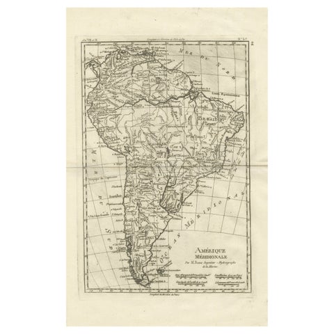
South America – Original Antique Enlightenment Map by Rigobert Bonne, c.1780
1780 · Rigobert Bonne
$490
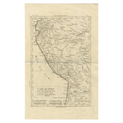
Peru & Upper Amazon – Enlightenment Map by Rigobert Bonne, c.1780
1780 · Rigobert Bonne
$490
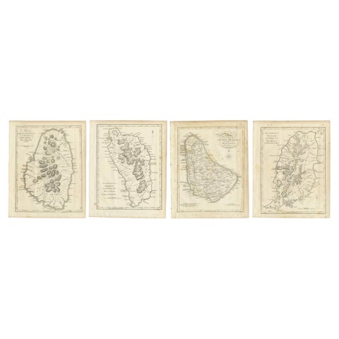
Set of Four Antique Maps of Caribbean Islands by Bryan Edwards, 1818
1818
$490
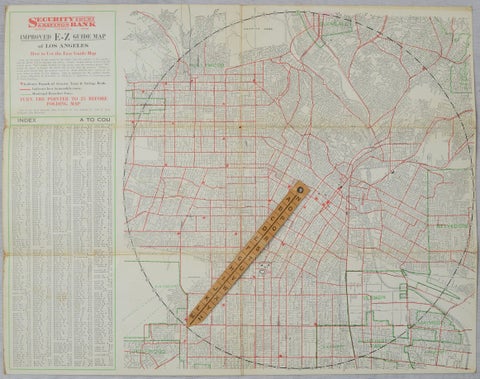
Antique E-Z Guide Map of Los Angeles with Rotating Locator, 1927
1927
$490
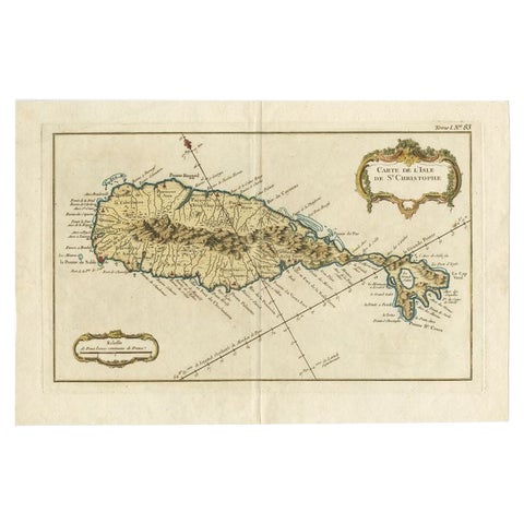
Old Map of the island of Saint Christopher or St. Kitts in the Caribbean, c.1765
1765 · Guillaume Delisle
$480
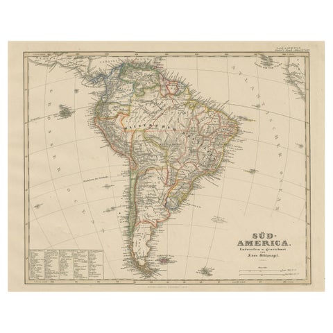
Historic 1858 Map of South America – Pre-Border Consolidation
1858
$480
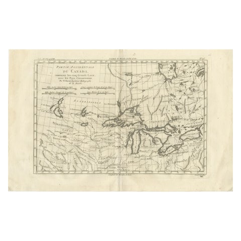
Great Lakes Antique Map, Canada, Midwest USA, Enlightenment Era, Bonne c.1780
1780 · Rigobert Bonne
$480
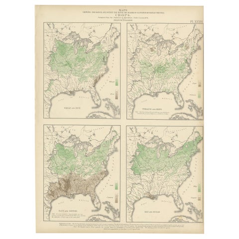
Antique US Crop Chart by Francis A. Walker, Lithographed Maps, 1874
1874
$470
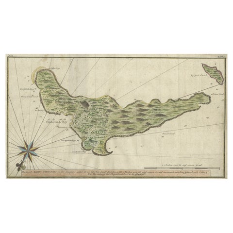
Rare Handcolored Map of Isle de Juan Fernandes 'Robinson Crusoe Island', Chili
1763
$470
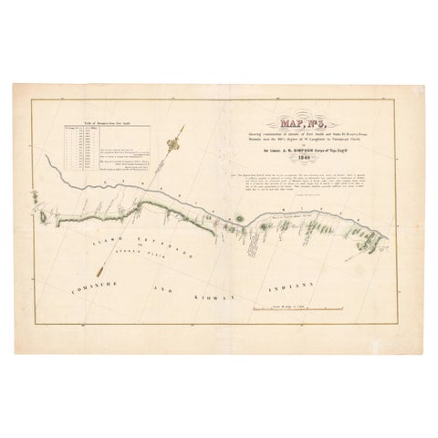
1849 Hand-Colored Map of Fort Smith to Santa Fe Route, Detailing Trails & Camps
1849
$470
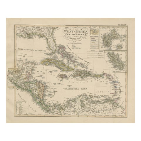
Antique Map of the Caribbean & Central America – West Indies, 1857
1857
$470
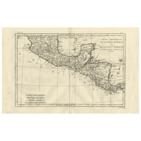
Southern Mexico & New Spain – Enlightenment Map by Rigobert Bonne, c.1780
1780 · Rigobert Bonne
$460
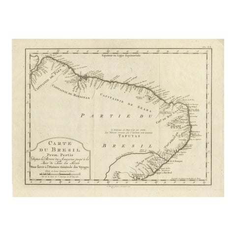
Brazil Coastline Map – Broenner Carte du Bresil, 1772 Captaincies
1772
$455