Black Friday Sale now on: up to 30% off until Monday 30 November →
Orders placed from 15 to 30 November ship from 1 December, in time for Christmas. Our shipping partner: InXpress.

A Bartele Gallery CollectionLangweer · Jakarta

American Maps & Prints
Original antique maps, charts & prints of the Americas ★ Originals only


americanmapsandprints.com

✦

Black Friday Sale now on

Up to 30% off original antique maps and prints, until Monday 30 November

Follow your favourite collections

Receive a weekly selection of new arrivals from the collections you love.

You can change your choices or unsubscribe at any time.

The terms

  • Up to 30% off selected original antique maps and prints. Every piece is an original, printed in its own time; none is a reproduction.
  • The sale runs until Monday 30 November. Prices revert on Tuesday 1 December.
  • Free FedEx shipping on qualifying orders placed on our own websites: USA, Canada, UK and Europe over $500 / €450; rest of the world over $750 / €675. Smaller orders pay our normal shipping rate.
  • Orders placed from 15 to 30 November ship from 1 December, in time for Christmas. Our shipping partner is InXpress.
  • Each piece is unique, so the sale is while stock lasts.
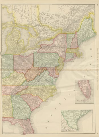
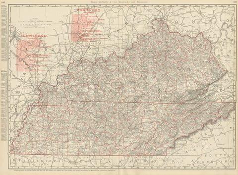
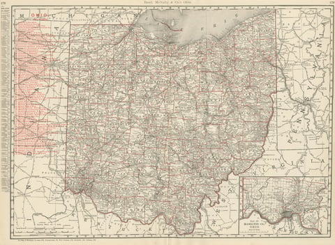
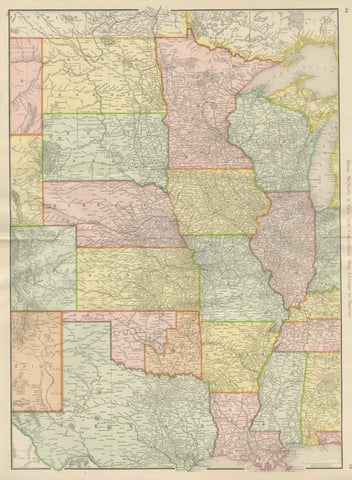
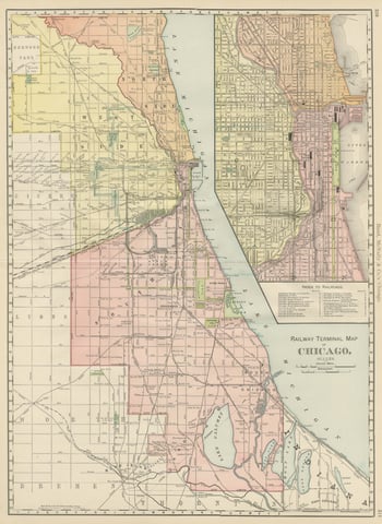
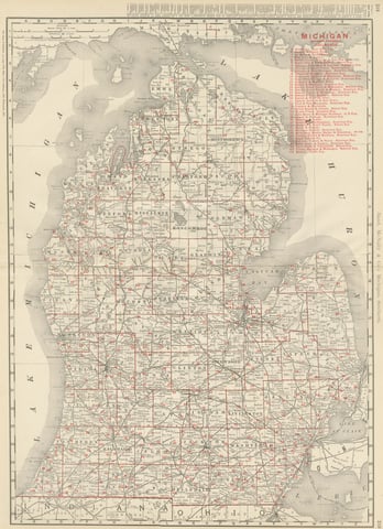
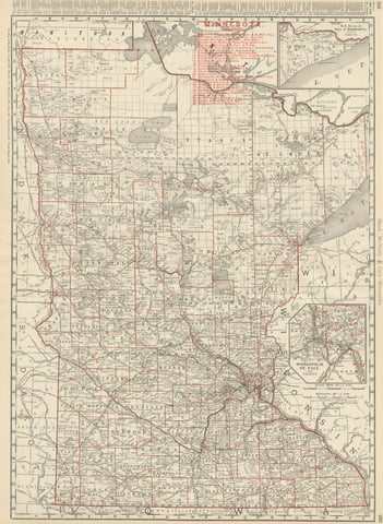
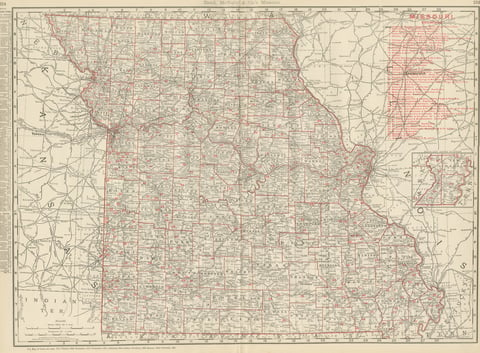
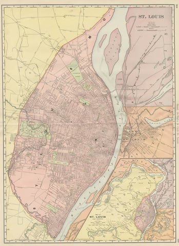
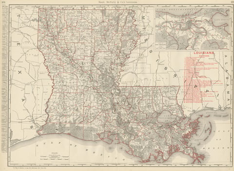
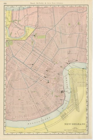
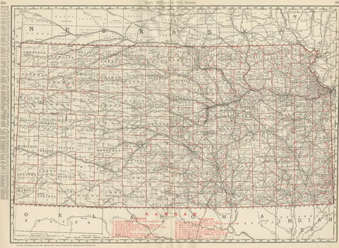
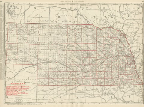
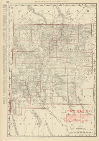
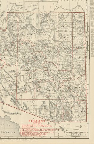
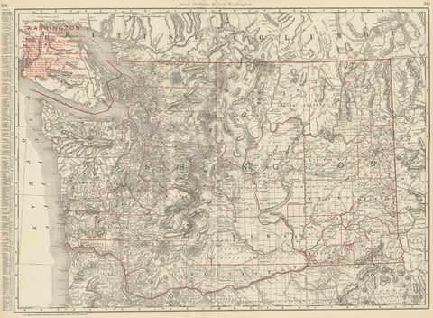
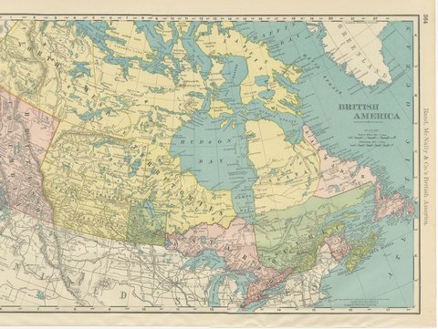
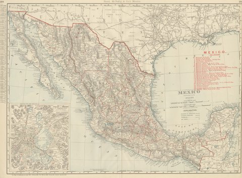
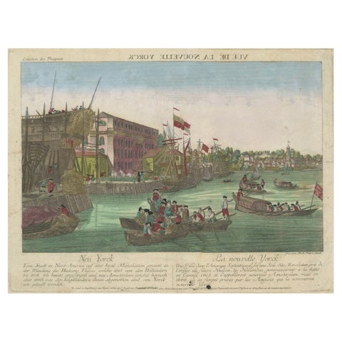
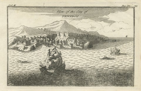
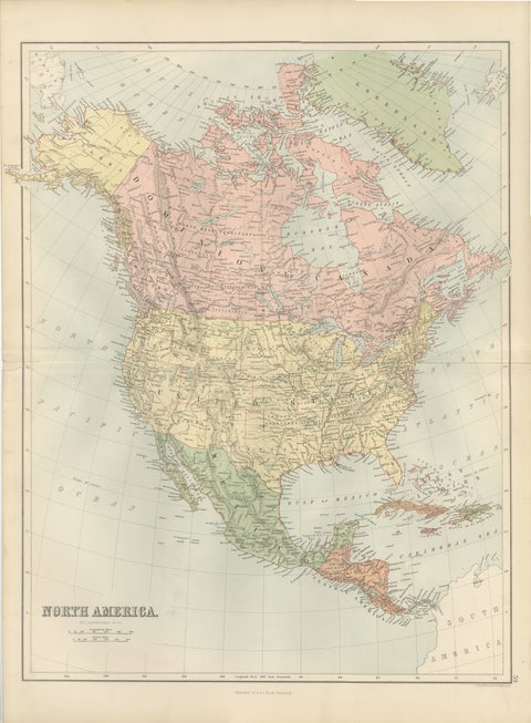
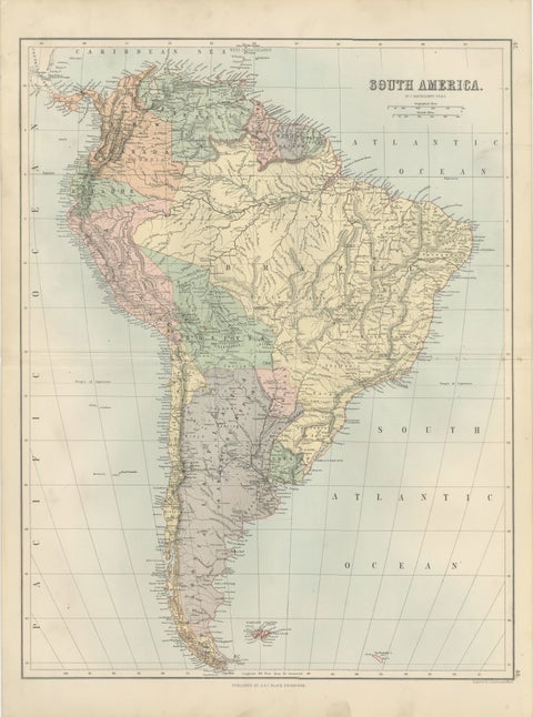
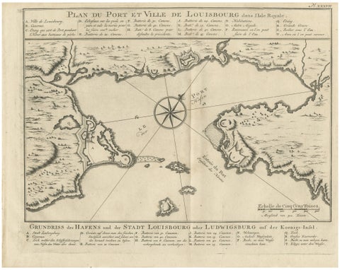
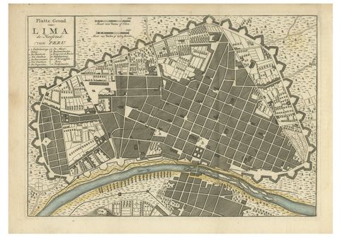
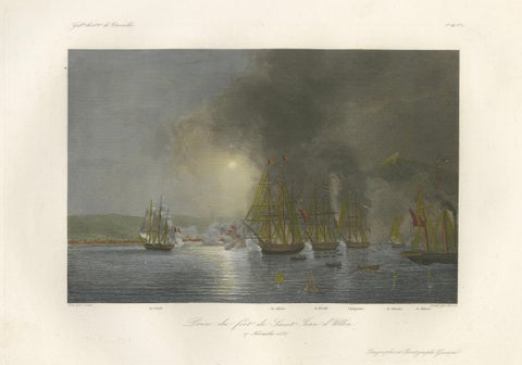
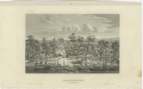
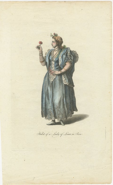
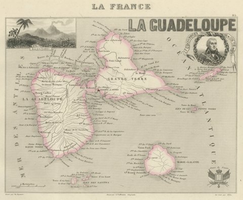
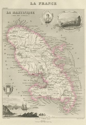
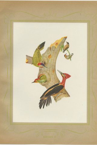
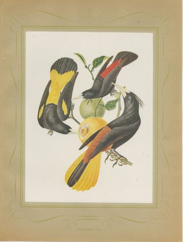
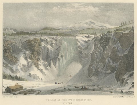
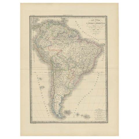
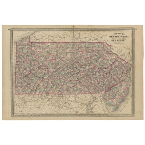
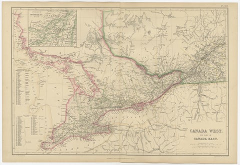
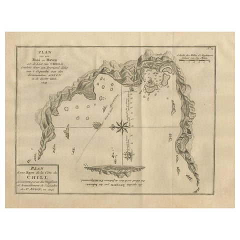
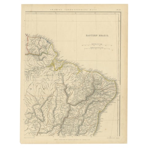
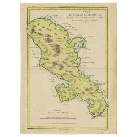
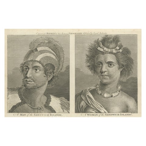
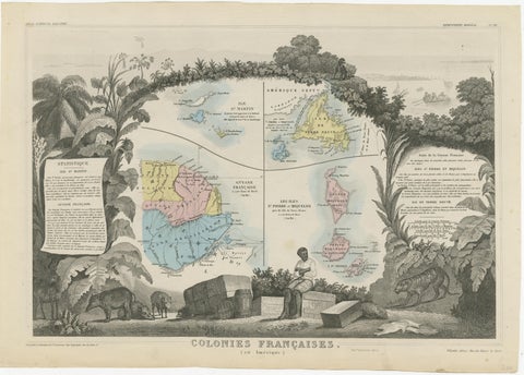
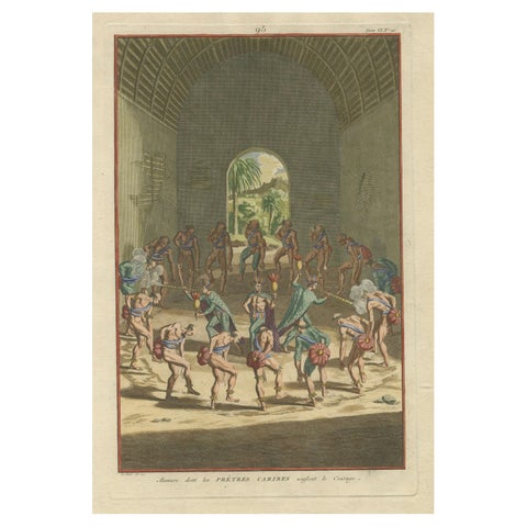
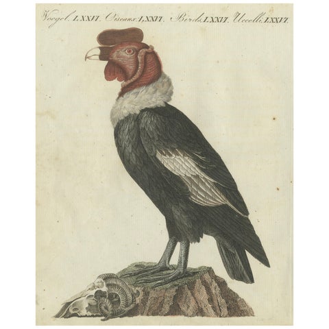
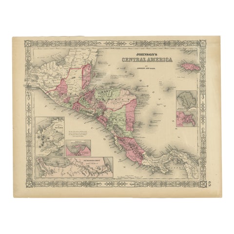
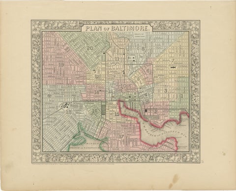
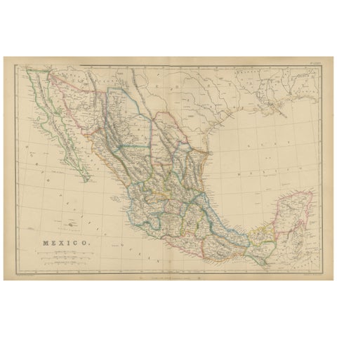
Antique Map of the Eastern United States, with Florida Inset, Rand McNally, 1899Antique Map of the Eastern United States, with Florida Inset, Rand McNally, 1899$435 $325 25% offAntique Map of Kentucky and Tennessee, with the Bluegrass Region, 1899Antique Map of Kentucky and Tennessee, with the Bluegrass Region, 1899$435 $325 25% offAntique Map of Ohio, The Buckeye State, Rand McNally, 1899Antique Map of Ohio, The Buckeye State, Rand McNally, 1899$435 $325 25% offAntique Map of the Central United States, Chicago to Denver, Rand McNally, 1899Antique Map of the Central United States, Chicago to Denver, Rand McNally, 1899$435 $325 25% offAntique Map of Chicago Railway Terminals, The Windy City, Rand McNally, 1899Antique Map of Chicago Railway Terminals, The Windy City, Rand McNally, 1899$435 $325 25% offAntique Map of Michigan, The Great Lakes State, Rand McNally, 1899Antique Map of Michigan, The Great Lakes State, Rand McNally, 1899$435 $325 25% offAntique Map of Minnesota, The North Star State, Rand McNally, 1899Antique Map of Minnesota, The North Star State, Rand McNally, 1899$435 $325 25% offAntique Map of Missouri, The Show-Me State, Rand McNally, 1899Antique Map of Missouri, The Show-Me State, Rand McNally, 1899$435 $325 25% offAntique Map of St. Louis, with Forest Park, Rand McNally, 1899Antique Map of St. Louis, with Forest Park, Rand McNally, 1899$435 $325 25% offAntique Map of Louisiana, The Pelican State, Rand McNally, 1899Antique Map of Louisiana, The Pelican State, Rand McNally, 1899$435 $325 25% offAntique Map of New Orleans, The Crescent City, Rand McNally, 1899Antique Map of New Orleans, The Crescent City, Rand McNally, 1899$435 $325 25% offAntique Map of Kansas, The Sunflower State, Rand McNally, 1899Antique Map of Kansas, The Sunflower State, Rand McNally, 1899$435 $325 25% offAntique Map of Nebraska, The Cornhusker State, Rand McNally, 1899Antique Map of Nebraska, The Cornhusker State, Rand McNally, 1899$435 $325 25% offAntique Map of New Mexico Territory, Before Statehood, Rand McNally, 1899Antique Map of New Mexico Territory, Before Statehood, Rand McNally, 1899$435 $325 25% offAntique Map of Arizona Territory, with the Grand Canyon, Rand McNally, 1899Antique Map of Arizona Territory, with the Grand Canyon, Rand McNally, 1899$435 $325 25% offAntique Map of Washington State, The Evergreen State, Rand McNally, 1899Antique Map of Washington State, The Evergreen State, Rand McNally, 1899$435 $325 25% offAntique Map of British America, with Hudson Bay, Rand McNally, 1899Antique Map of British America, with Hudson Bay, Rand McNally, 1899$435 $325 25% offAntique Map of Mexico, with Valley of Mexico Inset, Rand McNally, 1899Antique Map of Mexico, with Valley of Mexico Inset, Rand McNally, 1899$435 $325 25% offOptical View of New York City Manhattan Harbor Hand-Colored Augsburg - ca.1775Optical View of New York City Manhattan Harbor Hand-Colored Augsburg - ca.1775$435 $325 25% offAntique St Eustatius Caribbean View, Ships Harbor, Tournefort 1717Antique St Eustatius Caribbean View, Ships Harbor, Tournefort 1717$435 $325 25% offAntique North America Map, Canada, USA, Mexico, Bartholomew, 1884Antique North America Map, Canada, USA, Mexico, Bartholomew, 1884$435 $325 25% offAntique South America Map, Brazil, Argentina, Chile, Bartholomew, 1884Antique South America Map, Brazil, Argentina, Chile, Bartholomew, 1884$435 $325 25% offPlan of Louisbourg Harbor and Fortress, Cape Breton Island, c.1756Plan of Louisbourg Harbor and Fortress, Cape Breton Island, c.1756$435 $325 25% offAntique Map of Lima Peru by Isaak Tirion – City Plan with Fortifications, 1769Antique Map of Lima Peru by Isaak Tirion – City Plan with Fortifications, 1769$435 $325 25% offFrench Capture of San Juan de Ulúa, Mexico after Gudin, c.1840French Capture of San Juan de Ulúa, Mexico after Gudin, c.1840$435 $325 25% offSacramento City California – Antique Gold Rush Port Steel Engraving, ca.1850Sacramento City California – Antique Gold Rush Port Steel Engraving, ca.1850$430 $320 25% offOriginal Antique Costume Print "Habit of a Lady of Lima in Peru", 1779Original Antique Costume Print "Habit of a Lady of Lima in Peru", 1779$430 $320 25% offAntique Map of Guadeloupe, Marie-Galante and the Saintes, circa 1860Antique Map of Guadeloupe, Marie-Galante and the Saintes, circa 1860$350 $245 30% offAntique Map of Martinique, Fort-Royal and the Caravelle, circa 1860Antique Map of Martinique, Fort-Royal and the Caravelle, circa 1860$350 $245 30% offConures and Parakeets, Brazilian Bird Print, Descourtilz, 1944Conures and Parakeets, Brazilian Bird Print, Descourtilz, 1944$350 $245 30% offWoodpeckers at a Tree Stump, Brazilian Bird Print, Descourtilz, 1944Woodpeckers at a Tree Stump, Brazilian Bird Print, Descourtilz, 1944$350 $245 30% offFalcons and Kestrels, Brazilian Bird Print, Descourtilz, 1944Falcons and Kestrels, Brazilian Bird Print, Descourtilz, 1944$350 $245 30% offOrioles and Caciques, Brazilian Bird Print, Descourtilz, 1944Orioles and Caciques, Brazilian Bird Print, Descourtilz, 1944$350 $245 30% offBlue-and-Yellow Macaw and Green Parrot, Brazilian Bird Print, Descourtilz, 1944Blue-and-Yellow Macaw and Green Parrot, Brazilian Bird Print, Descourtilz, 1944$350 $245 30% offMontmorenci Falls, Canadian Winter Scene, Lithograph after Bouchette, circa 1832Montmorenci Falls, Canadian Winter Scene, Lithograph after Bouchette, circa 1832$350 $245 30% offAntique Map of South America by Lapie '1842'Antique Map of South America by Lapie '1842'$425 $320 25% offAntique Map of Pennsylvania and New Jersey by Johnson, 1872Antique Map of Pennsylvania and New Jersey by Johnson, 1872$350 $245 30% offCanada West and Part of Canada East, Antique Map, Great Lakes Region, 1859Canada West and Part of Canada East, Antique Map, Great Lakes Region, 1859$350 $245 30% offAntique Map of a Bay on the Coast of Chile, South America, c.1749Antique Map of a Bay on the Coast of Chile, South America, c.1749$350 $245 30% offAntique Map of Eastern Brazil, 1849Antique Map of Eastern Brazil, 1849$350 $245 30% offAntique Map of Martinique by Rigobert Bonne, Circa 1780Antique Map of Martinique by Rigobert Bonne, Circa 1780$350 $245 30% offPortraits of Nobility from the Sandwich Islands (Hawaii), Published circa 1790Portraits of Nobility from the Sandwich Islands (Hawaii), Published circa 1790$350 $245 30% offOriginal Steel Engraved Map of French Colonies in America, 1854Original Steel Engraved Map of French Colonies in America, 1854$350 $245 30% offCarib Priests Instilling Courage: A Ritual Dance of the Caribbean, 1722Carib Priests Instilling Courage: A Ritual Dance of the Caribbean, 1722$350 $245 30% offAndean Condor (Male) - Majestic Vultur gryphus Illustration by Bertuch, 1805Andean Condor (Male) - Majestic Vultur gryphus Illustration by Bertuch, 1805$350 $245 30% offCentral America Map – Johnson, Hand-Colored with Insets, c.1864Central America Map – Johnson, Hand-Colored with Insets, c.1864$350 $245 30% offPlan of Baltimore City Map, USA c.1870 – Hand-Colored Street PlanPlan of Baltimore City Map, USA c.1870 – Hand-Colored Street Plan$350 $245 30% offMexico, Antique Map, Central America and Gulf of Mexico, Blackie Atlas 1860Mexico, Antique Map, Central America and Gulf of Mexico, Blackie Atlas 1860$425 $320 25% off

Your favorites

Saved in this browser. Email the list to yourself to keep it on any device.

We use your email to send this list and, only if you tick the box and confirm, for occasional new arrivals. Every email has an unsubscribe link. Bartele Gallery, the Netherlands.

Your bag

Total

Each piece is bought on its own; shipping is added at checkout.

Powered by SiteKeys