Original antique maps & prints of
Canada & the North
★ 64 original pieces ★
New France, Acadia, Hudson's Bay and the British North American provinces: original maps and views of Canada and the Arctic, from the French and Dutch mapmakers to the Victorian atlases.
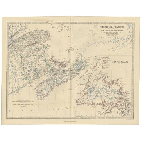
Antique Map of the Province of Canada 'East' by A.K. Johnston, 1865
1865 · W. & A. K. Johnston
$290
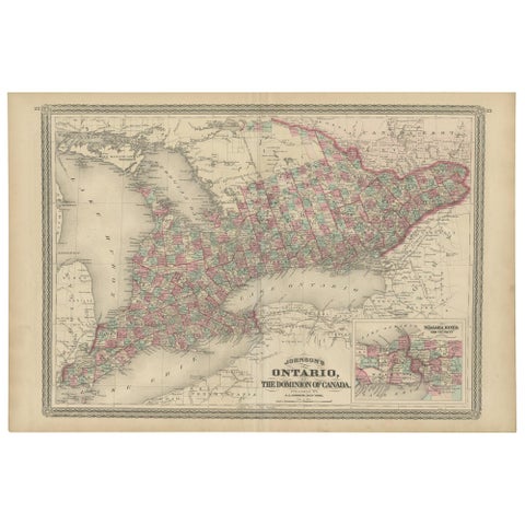
Antique Map of Ontario with an Inset Map of the Niagara River by Johnson, 1872
1872 · A. J. Johnson
$280
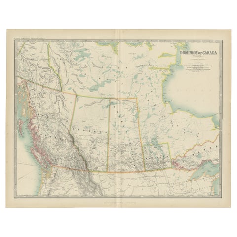
Antique Map of Canada by Johnston '1909'
1909 · W. & A. K. Johnston
$280
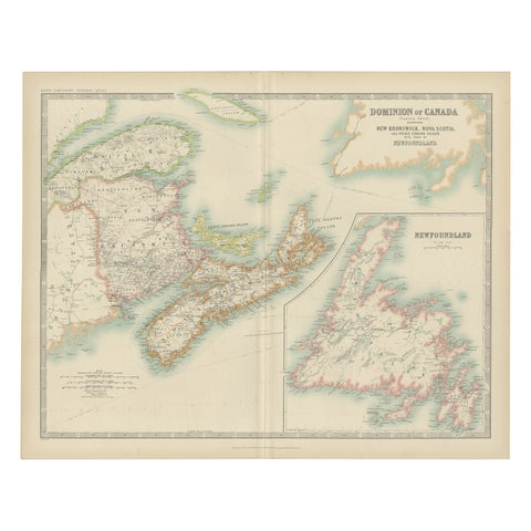
Antique Map of Canada by Johnston '1909'
1909 · W. & A. K. Johnston
$280
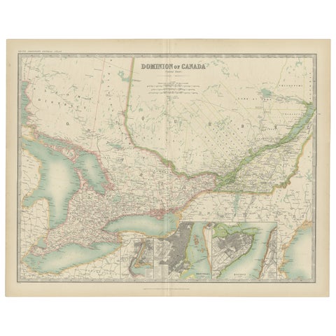
Antique Map of Canada by Johnston '1909'
1909 · W. & A. K. Johnston
$280
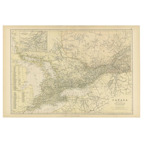
Antique Map of Canada, The Province of Ontario and Part of Quebec, 1882
1882
$280
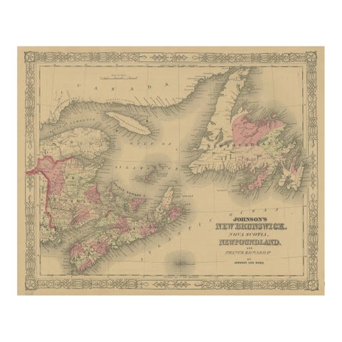
Johnson’s New Brunswick Nova Scotia Newfoundland Map, USA c.1864
1864
$245
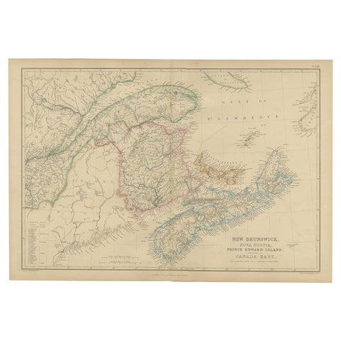
New Brunswick, Nova Scotia, Prince Edward Island, Antique Map, Canada East 1859
1859
$235
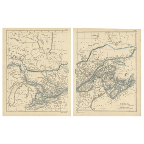
Antique Map of Canada, New Brunswick and Nova Scotia by Lowry, 1852
1852
$225
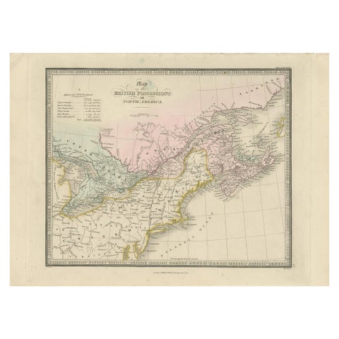
Antique Map of the British Possessions in North America by Wyld '1845'
1845
$225
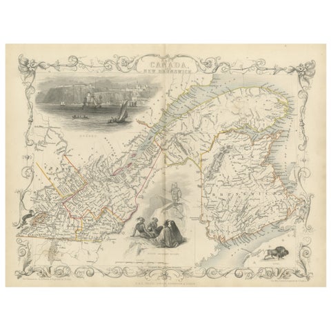
Decorative 1850s Map of Eastern Canada and New Brunswick with Historic Vignettes
John Tallis
$190
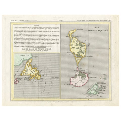
Newfoundland and St. Pierre & Miquelon: Early 19th Century French Map
$180
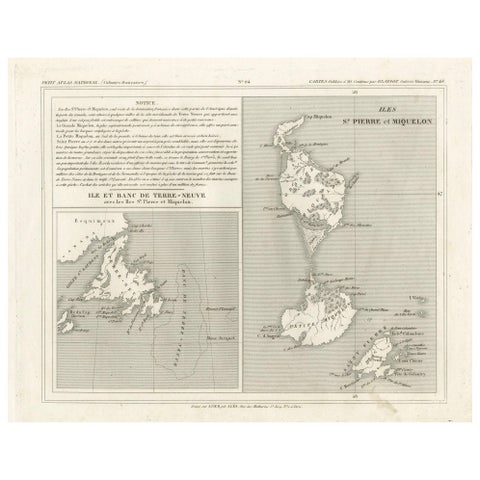
Newfoundland and St. Pierre & Miquelon: Uncolored French Map of circa 1820
1820
$180
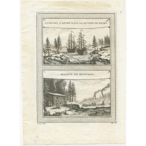
Antique Print of the Region of the Hayes river, Northern Manitoba, Canada, 1759
1759
$145
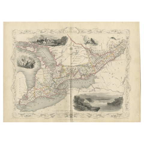
A 19th-Century Map of West Canada with Niagara Falls and Indigenous Scenes
circa 1850 · John Tallis
$125
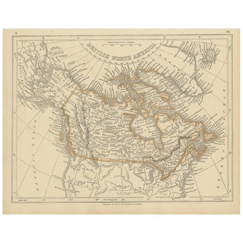
Antique Map of British North America by Lowry, '1852'
1852
$110
← PreviousPage 3 of 3