Original antique maps & prints of
Canada
★ 82 original pieces ★
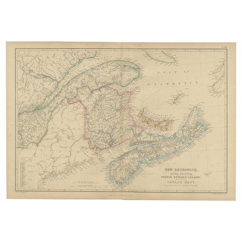
New Brunswick, Nova Scotia, Prince Edward Island, Antique Map, Canada East 1859
1859
$235
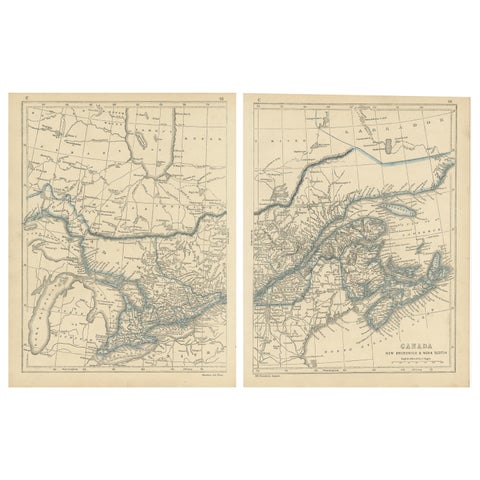
Antique Map of Canada, New Brunswick and Nova Scotia by Lowry, 1852
1852
$225
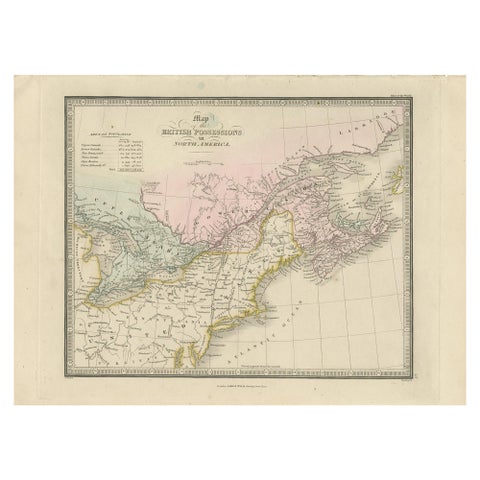
Antique Map of the British Possessions in North America by Wyld '1845'
1845
$225
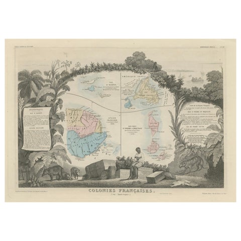
Map of French Colonies in the Americas: St. Martin, French Guiana and St. Pierre
$215
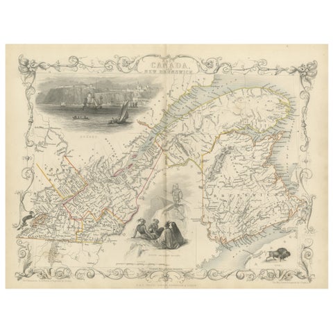
Decorative 1850s Map of Eastern Canada and New Brunswick with Historic Vignettes
John Tallis
$190
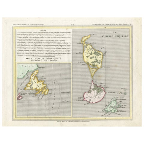
Newfoundland and St. Pierre & Miquelon: Early 19th Century French Map
$180
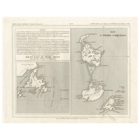
Newfoundland and St. Pierre & Miquelon: Uncolored French Map of circa 1820
1820
$180
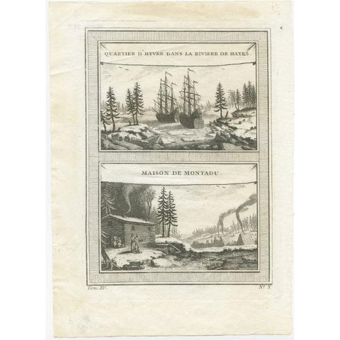
Antique Print of the Region of the Hayes river, Northern Manitoba, Canada, 1759
1759
$145
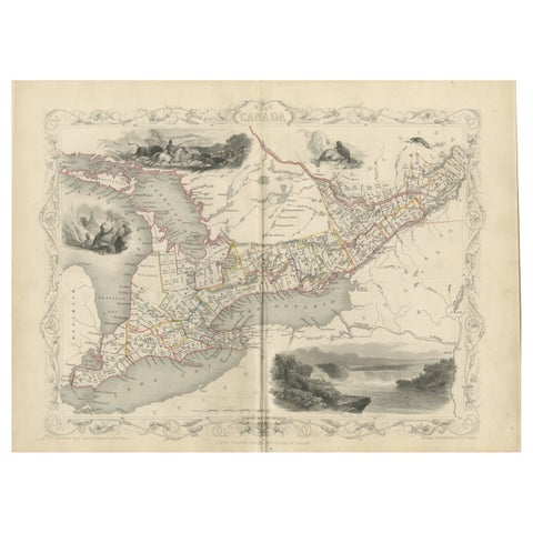
A 19th-Century Map of West Canada with Niagara Falls and Indigenous Scenes
circa 1850 · John Tallis
$125
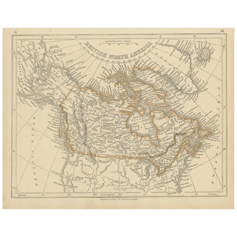
Antique Map of British North America by Lowry, '1852'
1852
$110
← PreviousPage 4 of 4