Original antique maps & prints of
Central America
★ 21 original pieces ★
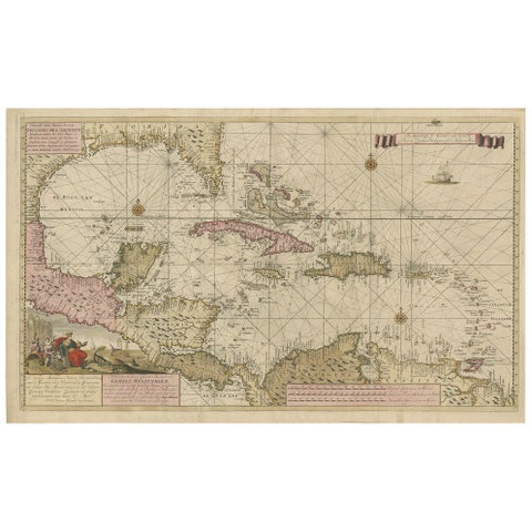
Engraving of a Map of Florida, the Gulf Coast, Caribbean & Central America, 1728
1728 · Van Keulen
$15,335
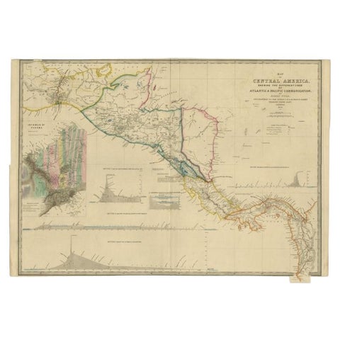
Antique Map of Central America Showing the Communication Lines, 1850
1850
$1,960
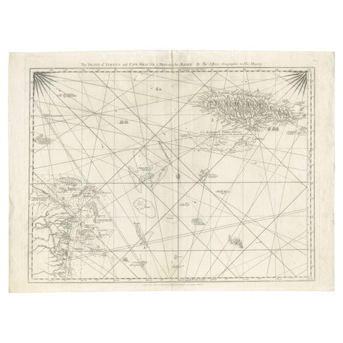
Navigational Chart of Jamaica, Cape Gracias a Dios, and the Mosquito Coast, 1775
1775
$1,345
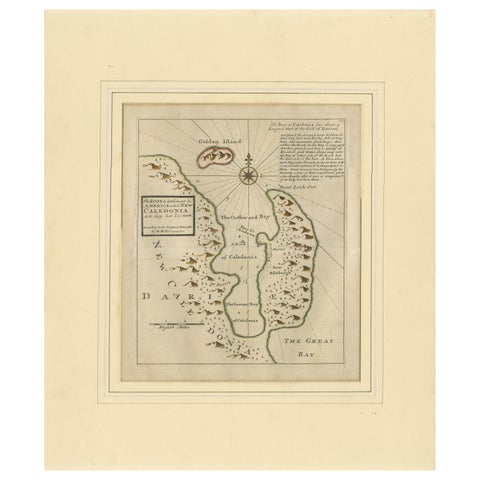
Rare 1699 Map of the Failed Scottish Colony of Caledonia in Panama
1699
$650
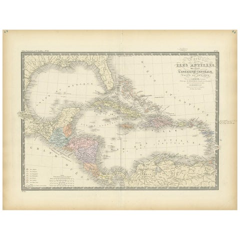
Antique Map of the Antilles in the Caribbean, '1875'
1875
$560
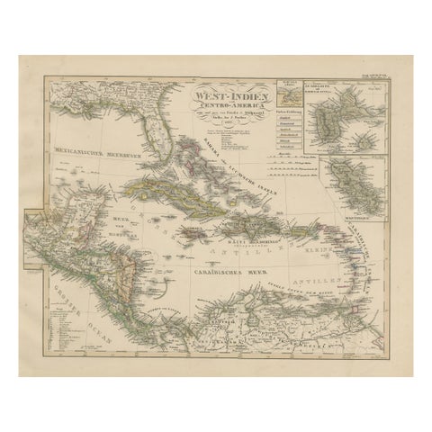
Antique Map of the Caribbean & Central America – West Indies, 1857
1857
$470
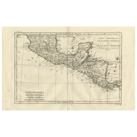
Southern Mexico & New Spain – Enlightenment Map by Rigobert Bonne, c.1780
1780 · Rigobert Bonne
$460
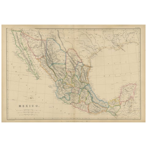
Mexico, Antique Map, Central America and Gulf of Mexico, Blackie Atlas 1860
1860
$430

Antique Map of Central America, with Proposed Nicaragua Canal, 1899
1899 · Rand McNally
$385
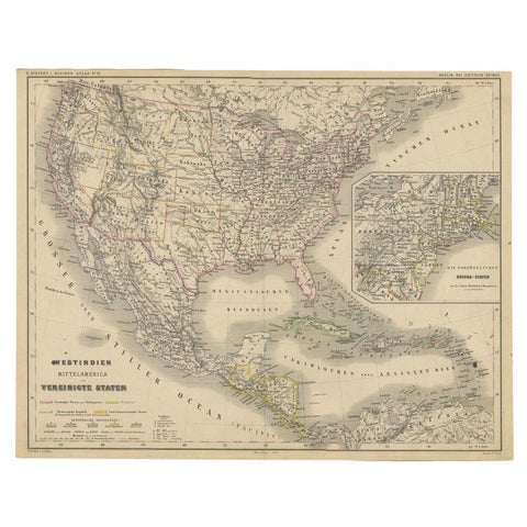
Old German Map of the United States, Central America and the West Indies, c.1870
1870
$380
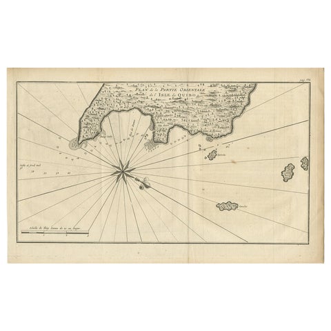
Antique Map of Coiba Island, Panama, South America, C.1740
1740 · Guillaume Delisle
$380
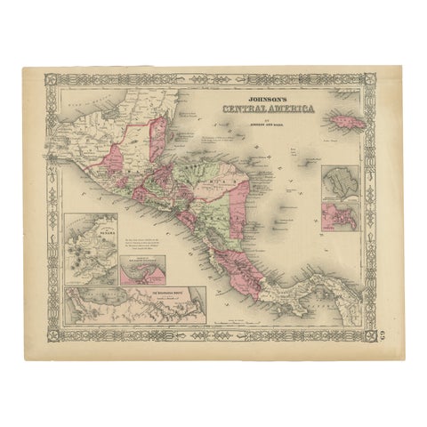
Central America Map – Johnson, Hand-Colored with Insets, c.1864
1864
$360
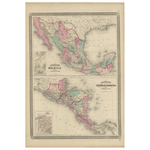
Antique Map of Mexico and Central America by Johnson '1872'
1872 · A. J. Johnson
$335
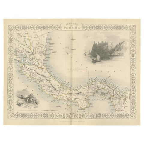
Crossroads of Empires: A John Tallis Map of the Isthmus of Panama, 1851
1851 · John Tallis
$325
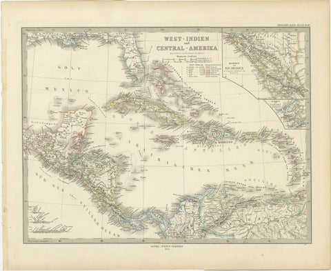
1880 Map of the Caribbean and Central America by Adolf Stieler
1880 · Stieler
$325
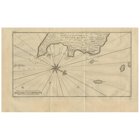
Antique Map of Coiba Island by Anson '1749'
1749
$280
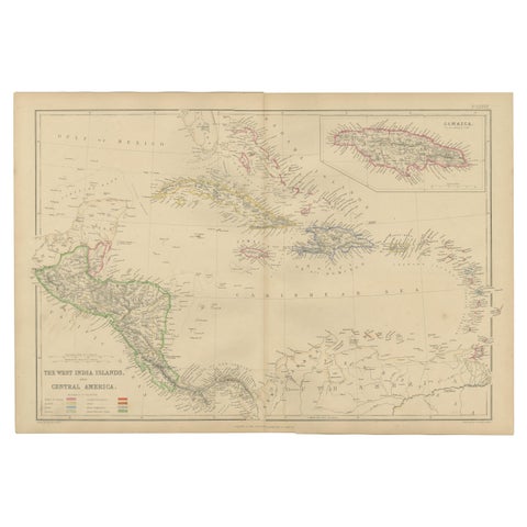
Antique Map of the West Indies and Central America by W. G. Blackie, 1859
1859
$235
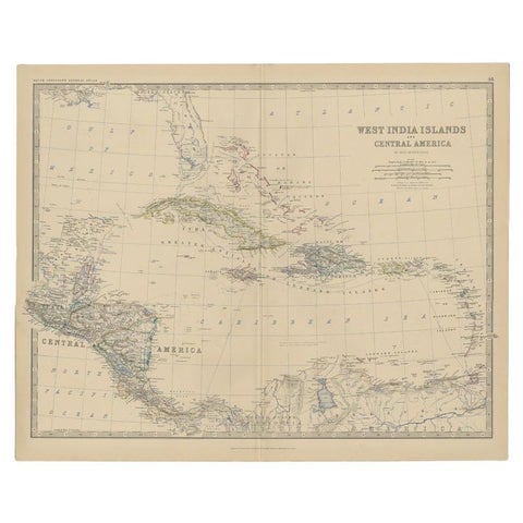
Antique Map of Central America and the West Indies, 1882
1882 · W. & A. K. Johnston
$200
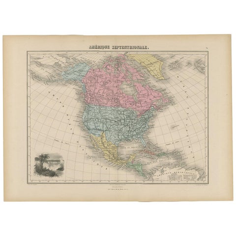
Antique Map of North and Central America by Migeon '1880'
1880
$170
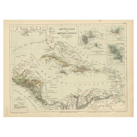
Antique Map of the Antilles and Central America – 1872
1872
$145
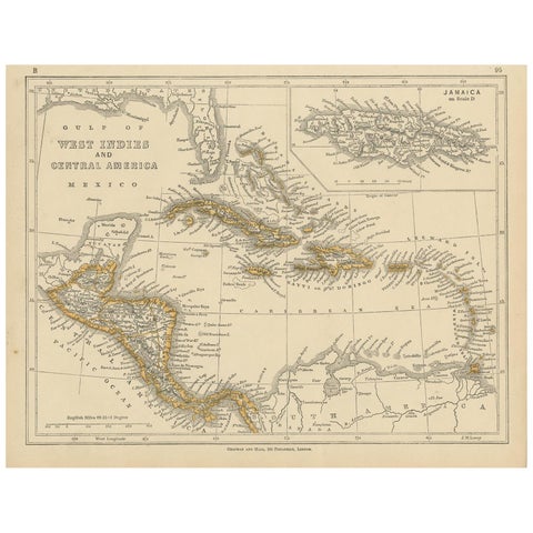
Antique Map of the West Indies and Central America by Lowry '1852'
1852
$110
★
More of Latin America