A Bartele Gallery CollectionLangweer · Jakarta

American Maps & Prints
Original antique maps, charts & prints of the Americas ★ Originals only


Home › Mexico
Original antique maps & prints of

Mexico

★ 40 original pieces ★
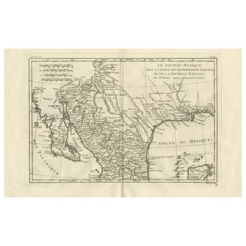
New Mexico & Northern New Spain – Enlightenment Map by Rigobert Bonne, c.1780
1780 · Rigobert Bonne
$435
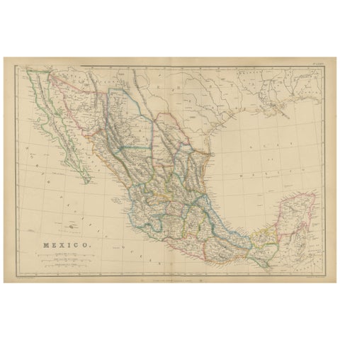
Mexico, Antique Map, Central America and Gulf of Mexico, Blackie Atlas 1860
1860
$430
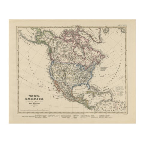
United States, Canada & Mexico – 1857 North America Map
1857 · Stieler
$415
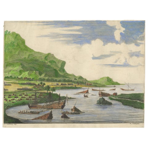
Cortés Scuttling Ships at Veracruz – Hand-Colored Engraving by Van Beecq, c.1690
1690
$405
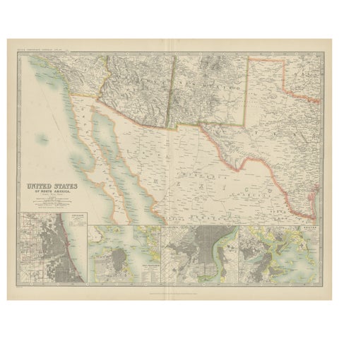
Antique Map of the United States of North America by Johnston '1909'
1909 · W. & A. K. Johnston
$390
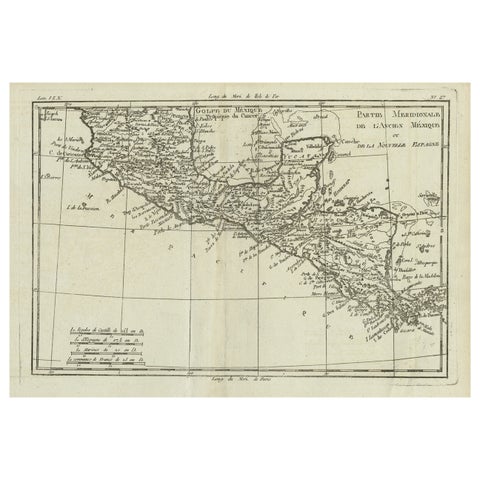
Antique French Engraving of Mexico with Lots of Details, c.1780
1780 · Jacques-Nicolas Bellin
$390
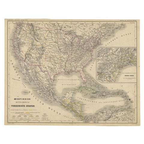
Old German Map of the United States, Central America and the West Indies, c.1870
1870
$380
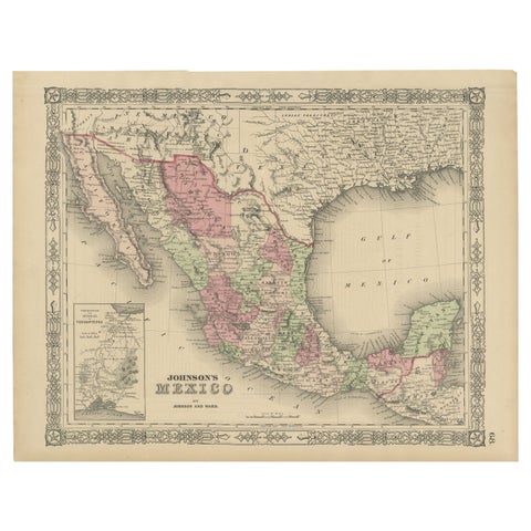
Johnson’s Mexico Map with Tehuantepec Inset, USA c.1864 – Hand-Colored
1864
$370
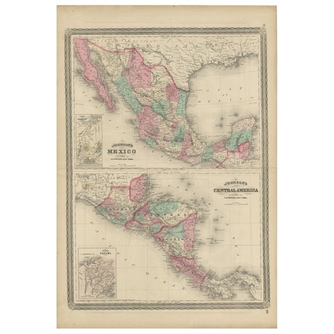
Antique Map of Mexico and Central America by Johnson '1872'
1872 · A. J. Johnson
$335
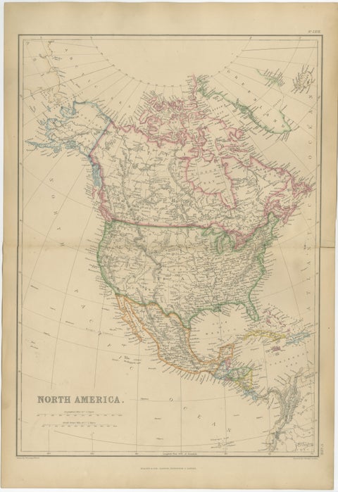
Antique Map of North America, Canada, United States and Mexico, 1860
1860
$325
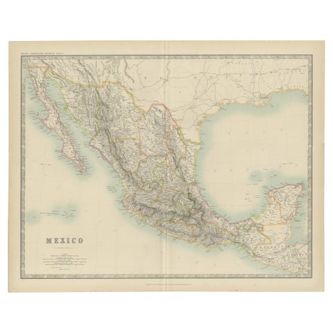
Antique Map of Mexico by Johnston, '1909'
1909 · W. & A. K. Johnston
$280
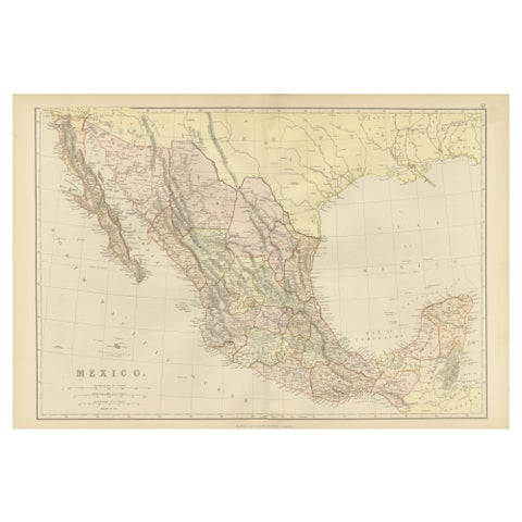
1882 Antique Map of Mexico Highlighting Geographical and Political Boundaries
1882
$280
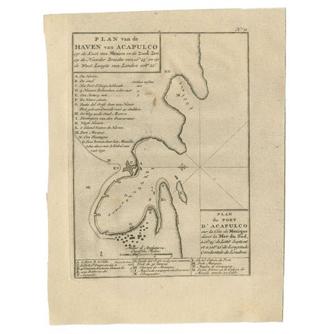
Antique Map of the Port of Acapulco in Mexico, 1749
1749
$270
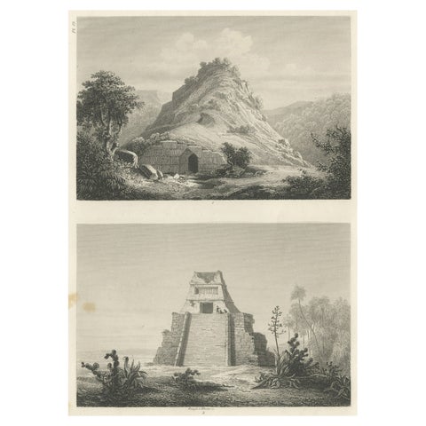
Original Rare Antique Print of Two Ruins in Mexico, 1857
1857
$245
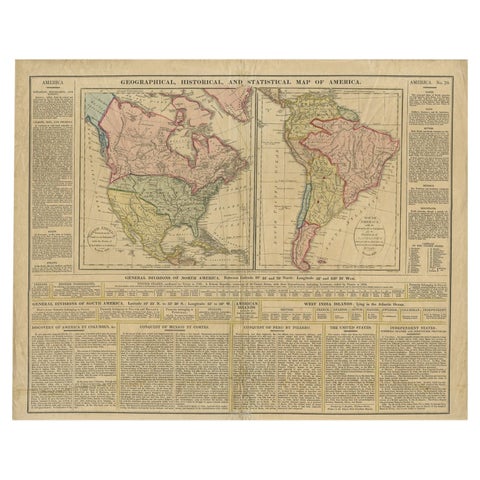
Antique Map of North and South America by Walker, 1828
1828
$245
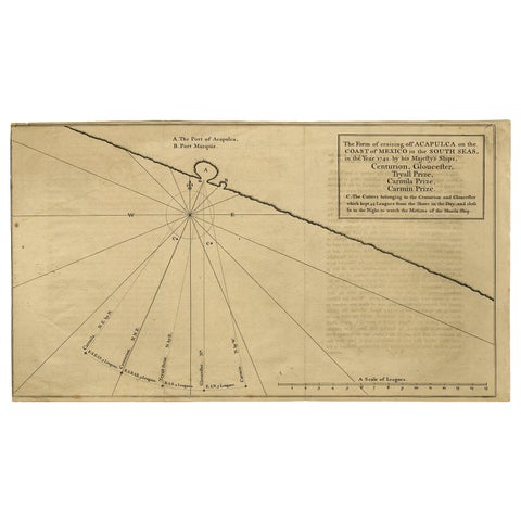
Navigational Chart of Mexico's Coast, with Acapulco and Port Marquis, 1748
1748
$155
← PreviousPage 2 of 2

Your favorites

Saved in this browser. Email the list to yourself to keep it on any device.

We use your email to send this list and, only if you tick the box and confirm, for occasional new arrivals. Every email has an unsubscribe link. Bartele Gallery, the Netherlands.

Your bag

Total

Each piece is bought on its own; shipping is added at checkout.