Antique maps & prints of the Americas
The Gilded Age
★ 392 original pieces ★
The great commercial atlases of Rand McNally, Cram and Johnson recorded a country covered in railroads. Territories in the West appear as states one after another.
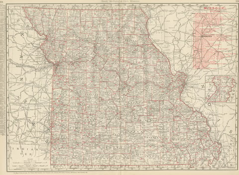
Antique Map of Missouri, The Show-Me State, Rand McNally, 1899
1899 · Rand McNally
$440
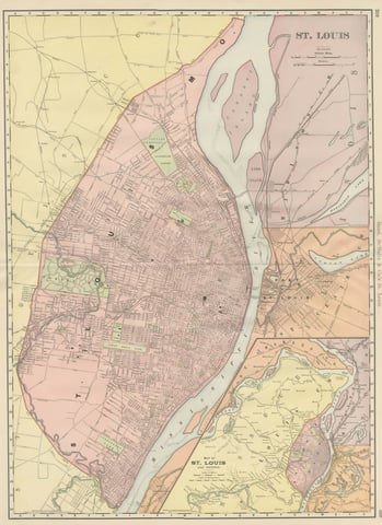
Antique Map of St. Louis, with Forest Park, Rand McNally, 1899
1899 · Rand McNally
$440
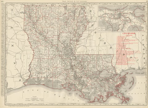
Antique Map of Louisiana, The Pelican State, Rand McNally, 1899
1899 · Rand McNally
$440
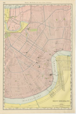
Antique Map of New Orleans, The Crescent City, Rand McNally, 1899
1899 · Rand McNally
$440
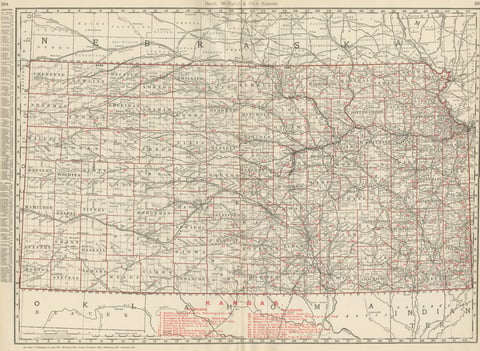
Antique Map of Kansas, The Sunflower State, Rand McNally, 1899
1899 · Rand McNally
$440
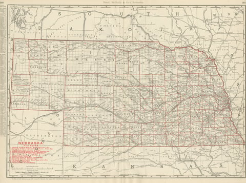
Antique Map of Nebraska, The Cornhusker State, Rand McNally, 1899
1899 · Rand McNally
$440
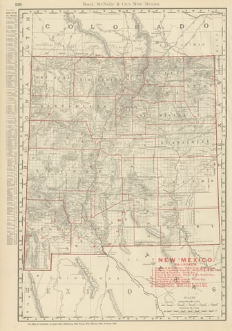
Antique Map of New Mexico Territory, Before Statehood, Rand McNally, 1899
1899 · Rand McNally
$440
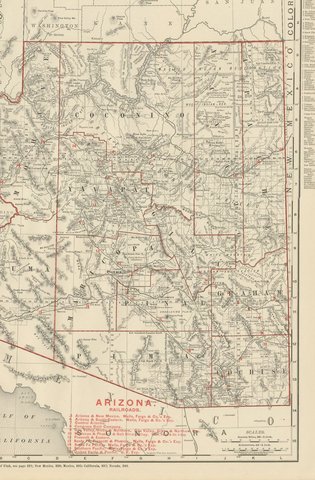
Antique Map of Arizona Territory, with the Grand Canyon, Rand McNally, 1899
1899 · Rand McNally
$440
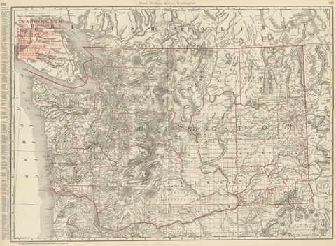
Antique Map of Washington State, The Evergreen State, Rand McNally, 1899
1899 · Rand McNally
$440
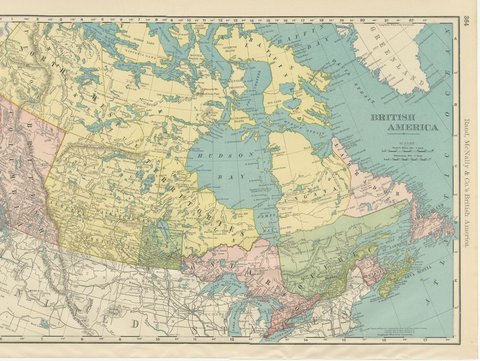
Antique Map of British America, with Hudson Bay, Rand McNally, 1899
1899 · Rand McNally
$440
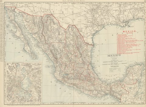
Antique Map of Mexico, with Valley of Mexico Inset, Rand McNally, 1899
1899 · Rand McNally
$440
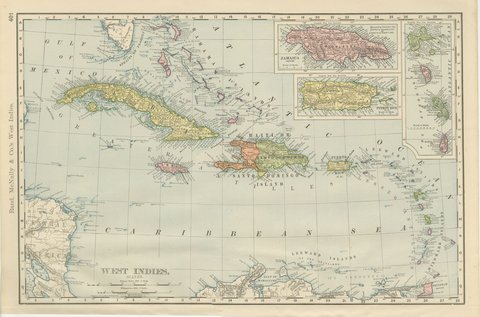
Antique Map of the West Indies, with Cuba, Jamaica and Puerto Rico, 1899
1899 · Rand McNally
$440
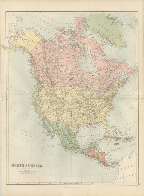
Antique North America Map, Canada, USA, Mexico, Bartholomew, 1884
1884 · Adam & Charles Black
$440
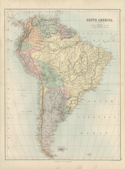
Antique South America Map, Brazil, Argentina, Chile, Bartholomew, 1884
1884 · Adam & Charles Black
$440
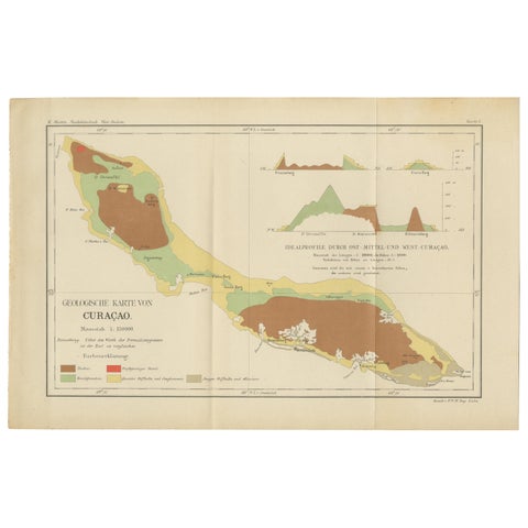
Antique Geological Map of Curaçao - Hand Colored Dutch Caribbean, 1888
1888
$435
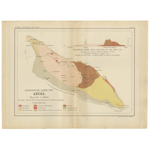
Antique Geological Map of Aruba - Dutch West Indies by Karl Martin, 1888
1888
$435
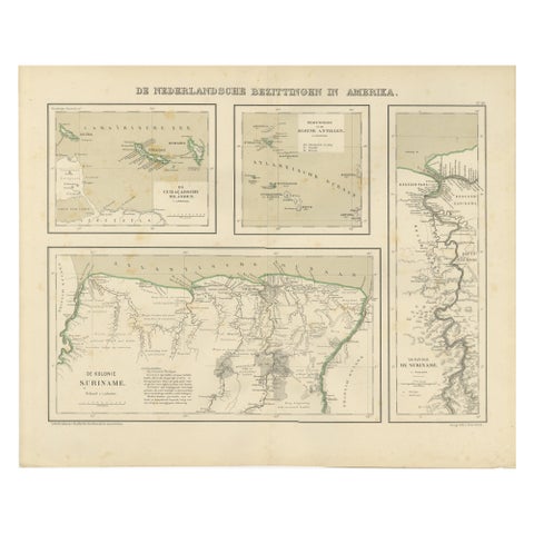
Antique Map of Dutch Colonies in the Caribbean & Suriname by Dornseiffen, 1884
1884
$435
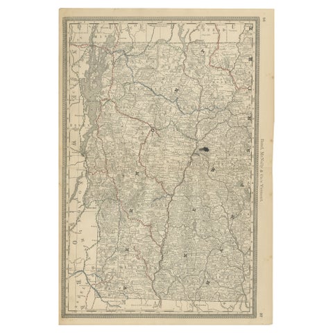
Antique Vermont Map Wall Art – Railroads, Mountains & Towns, Rand McNally, 1888
1888 · Rand McNally
$435
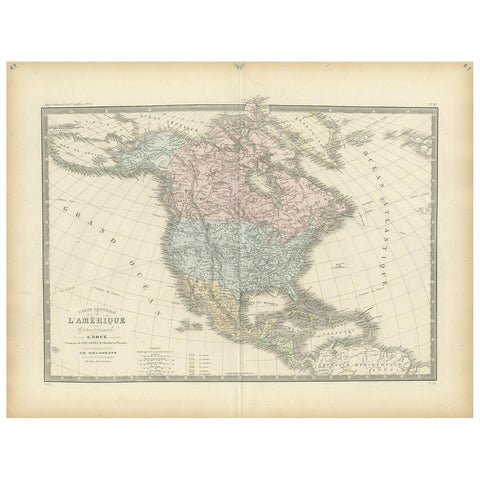
Antique Map of North America by Levasseur, 1875
1875
$430
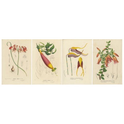
Floral Collection: Coral Drops, Prairie Gentian, Monkey Orchid, Bellflower, 1875
1875
$425
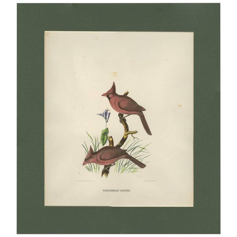
Antique Bird Print of Northern Cardinals Made After D.G. Elliot, 1869
1869 · Emanuel Bowen
$425
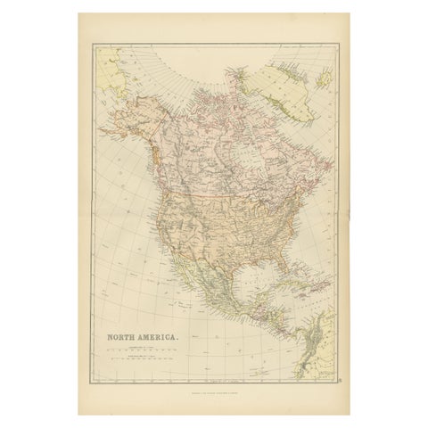
Antique Map of North America by Blackie & Son, Colored, 1882
1882
$415
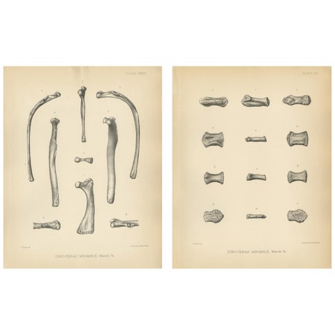
Set of 2 Antique Paleontology Prints of a Dinoceras Mirabile by Marsh, 1886
1886
$405
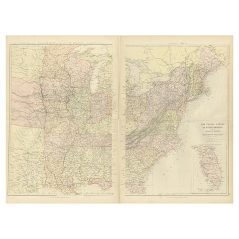
1882 Blackie Atlas Maps: Atlantic States and Mississippi Valley Compilation
1882
$405
★
Other periods