Original antique maps & prints of
Latin America
★ 172 original pieces ★
Our smaller collection of Central and South America: Brazil, Peru, Chile, Argentina, the Guianas and the Andes, in maps, voyage engravings and natural history.
Central America
31 pieces
Brazil
116 pieces
Peru
87 pieces
Chile
50 pieces
Argentina
48 pieces
Colombia & Venezuela
15 pieces
The Guianas
34 pieces
Ecuador, Bolivia & Paraguay
9 pieces
South America
104 pieces
★
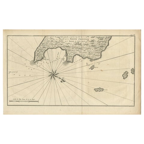
Antique Map of Coiba Island, Panama, South America, C.1740
1740 · Guillaume Delisle
$380
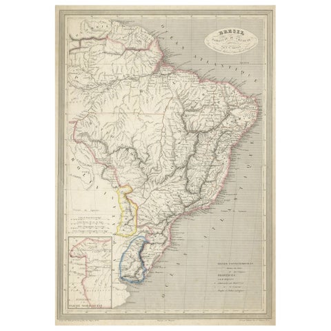
Antique Map of of Brazil, Paraguay and Uruguay
1837
$380
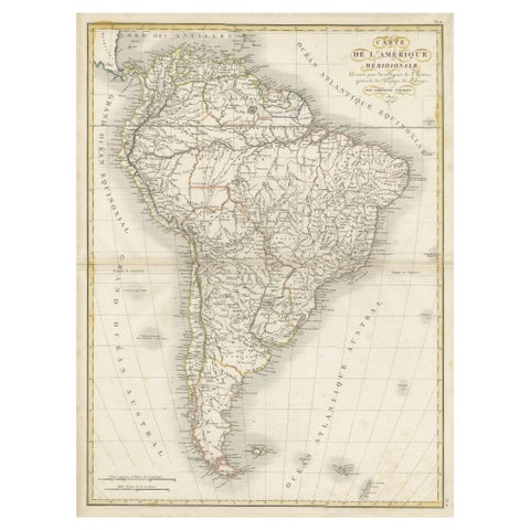
Scarce Antique Map of South America
1821
$380
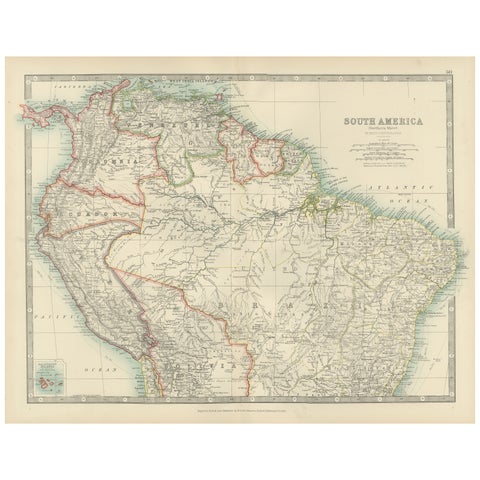
Map of Northern South America – Vibrant Engraving by Keith Johnston, 1903
1903 · W. & A. K. Johnston
$380
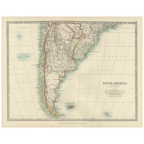
Map of Southern South America – Richly Detailed Engraving by K.Johnston, 1903
1903 · W. & A. K. Johnston
$380
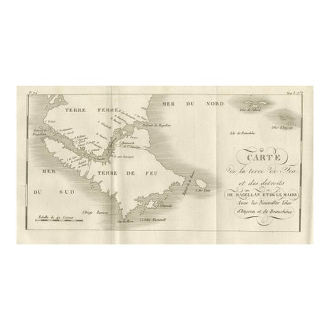
Map of Tierra del Fuego and the Straits of Magellan and Le Maire, c.1760
1760
$380
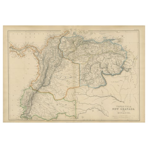
Venezuela, New Granada and Ecuador, Antique Map, Northern South America, 1860
1860
$380
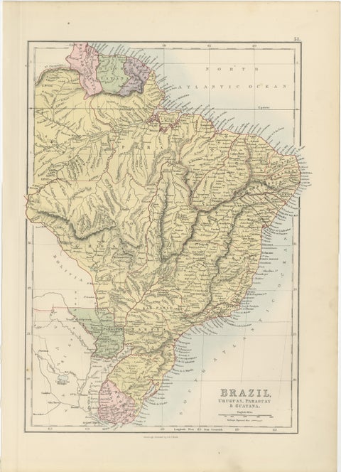
Antique Brazil Map, Uruguay, Paraguay & Guiana, Bartholomew, 1884
1884 · Adam & Charles Black
$380
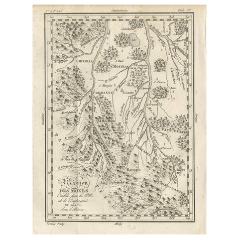
Mission of the Moxos, Peru – Antique French Jesuit Map by Portier, c.1790
1790
$370
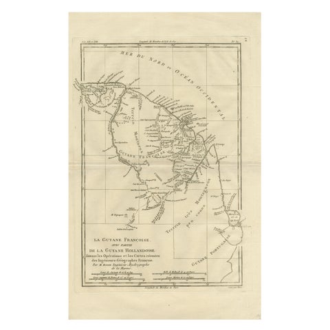
French Guiana & Suriname – Rigobert Bonne’s Colonial Map of the Guianas, c.1780
1780 · Rigobert Bonne
$370
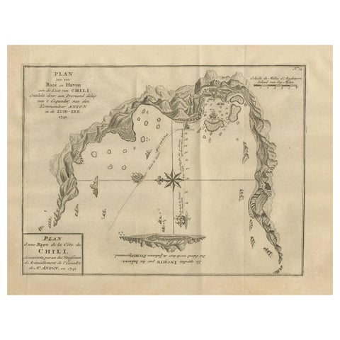
Antique Map of a Bay on the Coast of Chile, South America, c.1749
1749
$360
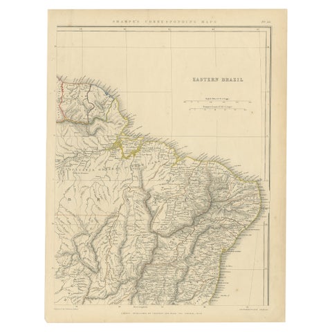
Antique Map of Eastern Brazil, 1849
1849
$360
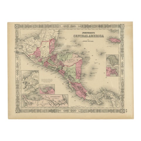
Central America Map – Johnson, Hand-Colored with Insets, c.1864
1864
$360
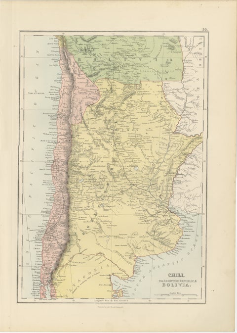
Antique Chile, Argentina & Bolivia Map, Patagonia, Bartholomew, 1884
1884 · Adam & Charles Black
$360
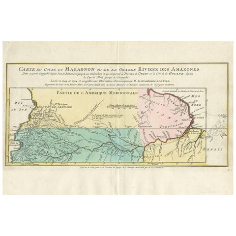
Antique Map of the Course of the Amazon River by E. Van Harrevelt, 1773
1773
$355
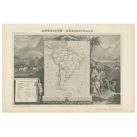
Antique Map of South America by V. Levasseur, 1854
1854
$335
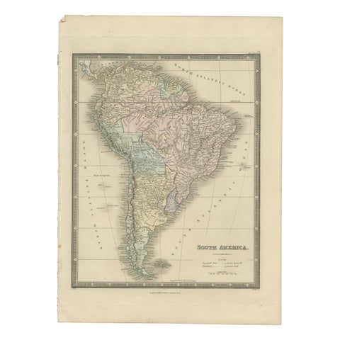
Antique Map of South America by Wyld, '1845'
1845
$335
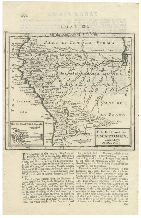
Antique Map of Peru and the Amazon by Herman Moll with Galapagos, c.1709
1709 · Herman Moll
$335

Antique Map of South America, with the Amazon Basin, Rand McNally, 1899
1899 · Rand McNally
$330

Antique Map of the Brazilian Coast with Rio de Janeiro Province, circa 1860
circa 1860
$325
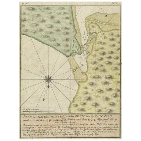
Antique Plan of Plan of St. Julian's Harbour on the Coast of Patagonia
1763
$325
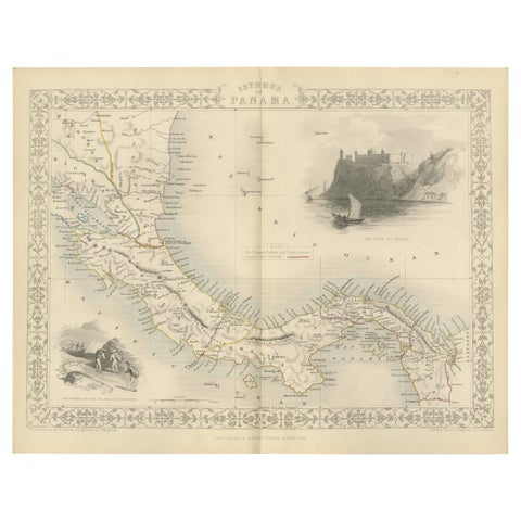
Crossroads of Empires: A John Tallis Map of the Isthmus of Panama, 1851
1851 · John Tallis
$325
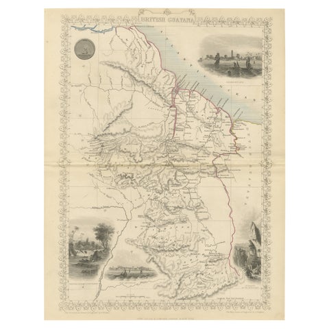
A Tallis Map of British Guiana with Colonial Vignettes and Other Landmarks, 1851
1851 · John Tallis
$325
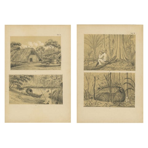
Suriname Jungle Life & Sacred Stone - Lithograph Pair by Karl Martin, 1888
1888
$325