Original antique maps & prints of
Mid-Atlantic
★ 91 original pieces ★
New York, New Jersey, Pennsylvania, Delaware, Maryland and the capital: the most densely mapped part of the early United States.
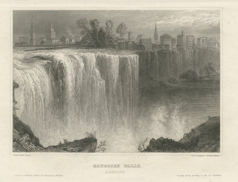
Genesee Falls, Rochester – Antique Waterfall Engraving, New York State, ca.1850
1850
$255
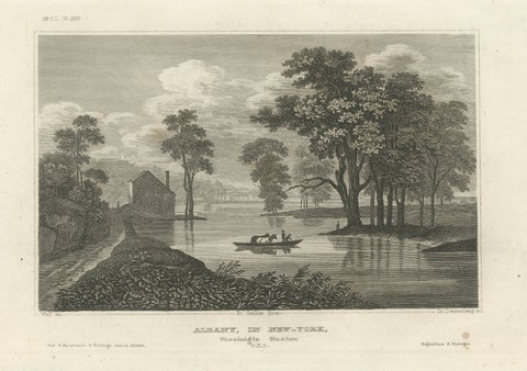
Albany New York Hudson River View – Antique Steel Engraving 19th Century
Meyer
$255
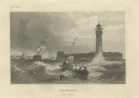
Black Rock New York Harbor Lighthouse – Antique Steel Engraving c.1850
1850 · Meyer
$255
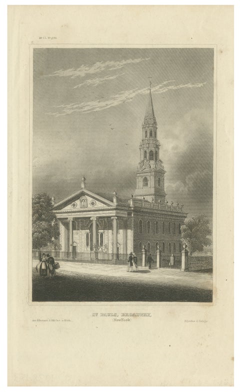
St Paul’s Broadway New York - Antique Engraving Church View, ca.1850
1850
$255
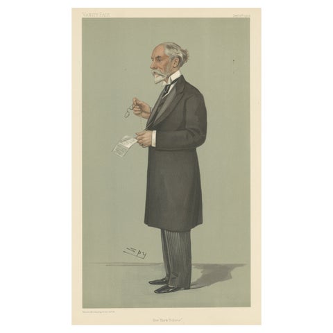
Chromolithograph Vanity Fair Caricature Print 'New York Tribune'
1902
$245
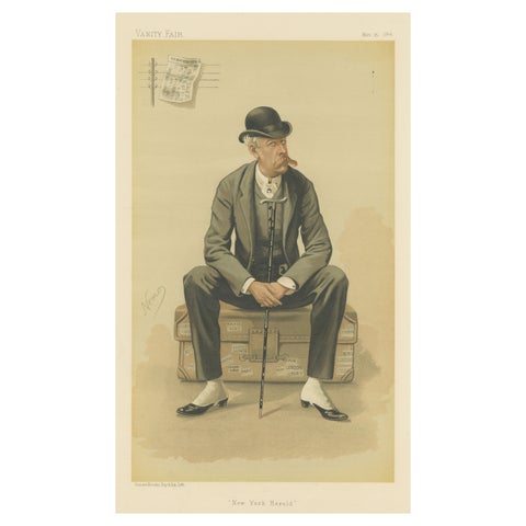
Chromolithograph Vanity Fair Caricature Print 'New York Herald'
1884
$245
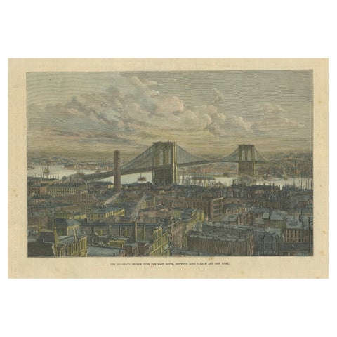
The Brooklyn Bridge Over the East River, Between Long Island and New York, 1883
1883
$245
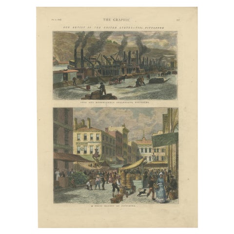
Industrial and Daily Life in Pittsburg - Published in The Graphic, 1876.
1876
$245
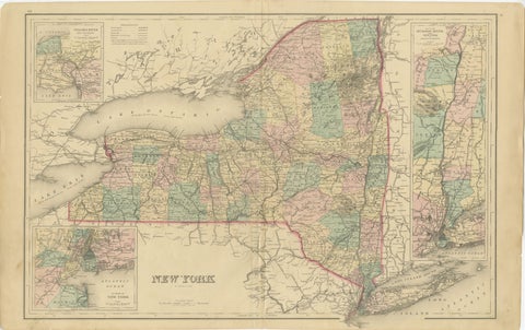
1876 Antique Map of New York State with Niagara and Hudson River Insets
1876 · S. Augustus Mitchell
$245
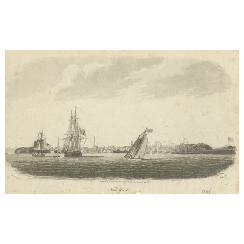
New York Harbor Panorama, sailing ships & city skyline, British engraving, 18050
1805
$245
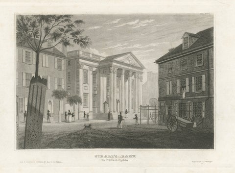
Antique Philadelphia View, Girard’s Bank, Neoclassical Architecture, 1855
1855
$245
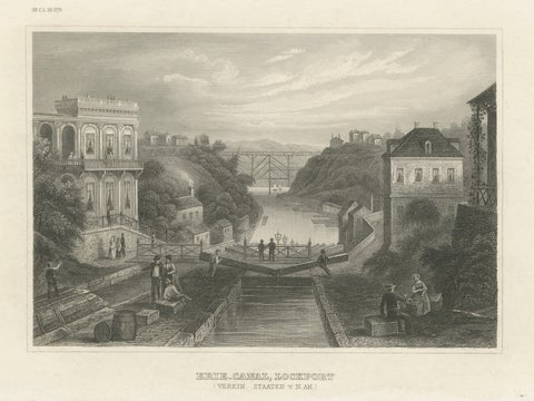
Erie Canal Lockport New York – Antique Canal Engineering Steel Engraving, 1854
1854 · Meyer
$235
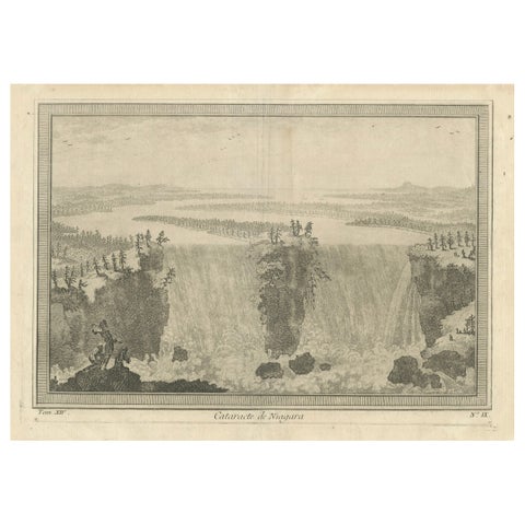
Niagara Falls, Cataracte de Niagara – Early French Engraved View, c.1780
1780
$225
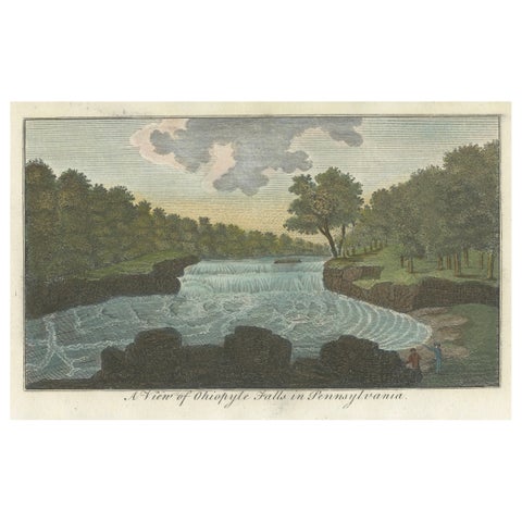
An Engraved and Hand-colored View of Ohiopyle Falls in Pennsylvania, ca.1800
1800
$215
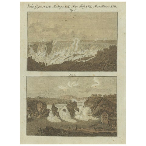
Majestic Waterfalls: Niagara Falls and Rhine Falls in 19th-Century Engraving
$145
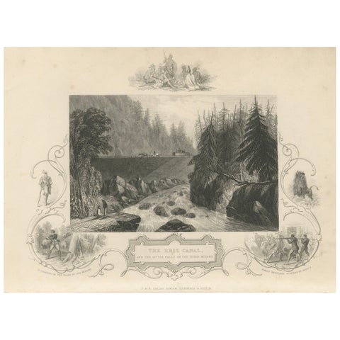
Antique Engraving of the Erie Canal and Little Falls on the River Mohawk, c.1850
1850 · John Tallis
$145
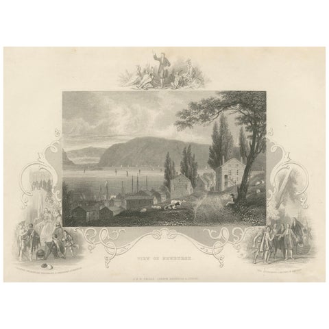
Hudson River View of Newburgh NY – Antique Engraving from c. 1850
1850 · John Tallis
$145
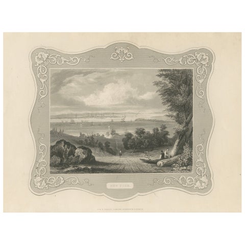
Panoramic View of New York City – Antique Engraving, c. 1850
1850 · John Tallis
$145
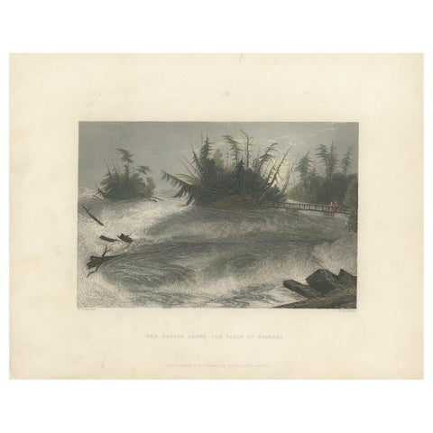
Antique Print of the Rapids of the Niagara Falls by Brandard, 1837
1837
$110
← PreviousPage 4 of 4
★
States in Mid-Atlantic