Search
★ 638 original pieces ★
Type a place, a mapmaker or a year in the search box above.
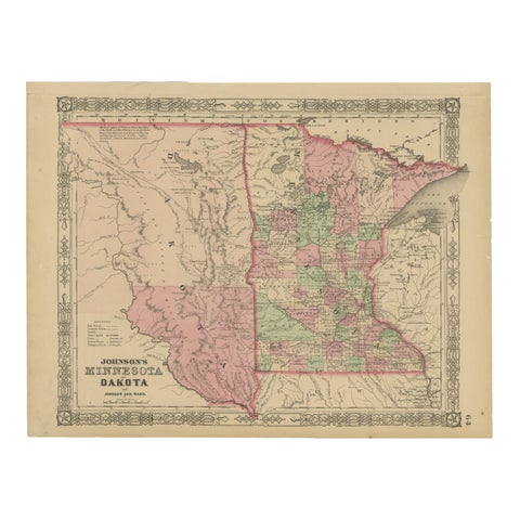
Minnesota and Dakota Map – Johnson, Hand-Colored, USA c.1864
1864
$325
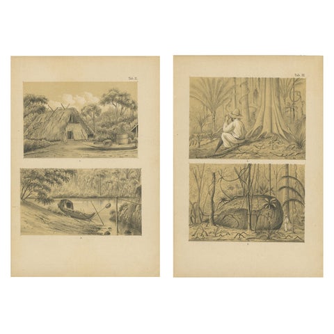
Suriname Jungle Life & Sacred Stone - Lithograph Pair by Karl Martin, 1888
1888
$325
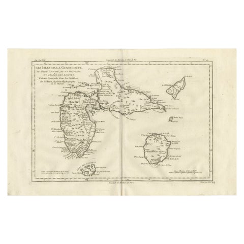
Antique Map Guadeloupe & Marie Galante, Rigobert Bonne Caribbean Chart c1780
circa 1780 · Rigobert Bonne
$325
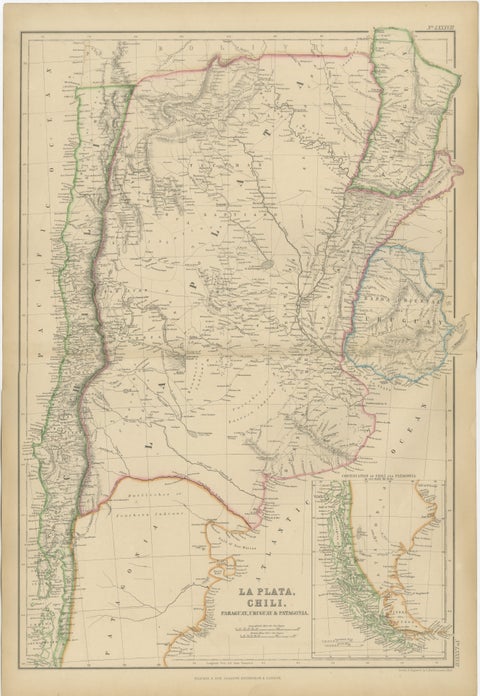
Antique Map of La Plata, Chile, Paraguay, Uruguay and Patagonia, 1860
1860
$325
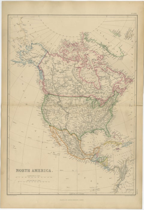
Antique Map of North America, Canada, United States and Mexico, 1860
1860
$325
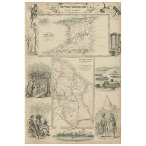
British Possessions on the North West Coast of South America, 1860
1860 · A. Fullarton
$320
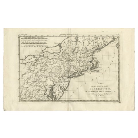
Antique Northeastern United States Map, New England & Mid-Atlantic, Bonne, 1780
1780 · Rigobert Bonne
$320
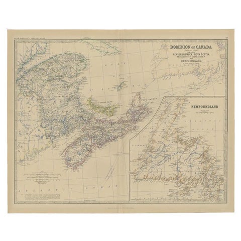
Antique Map of Eastern Canada with an inset Map of Newfoundland, 1882
1882 · W. & A. K. Johnston
$315
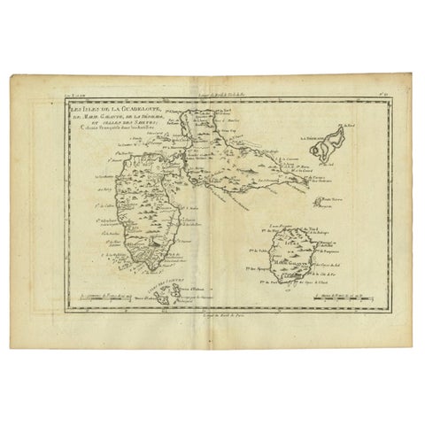
Antique Map of Guadeloupe with Les Saintes, Grand Bourg and La Désirade, c.1780
1780 · Jacques-Nicolas Bellin
$315
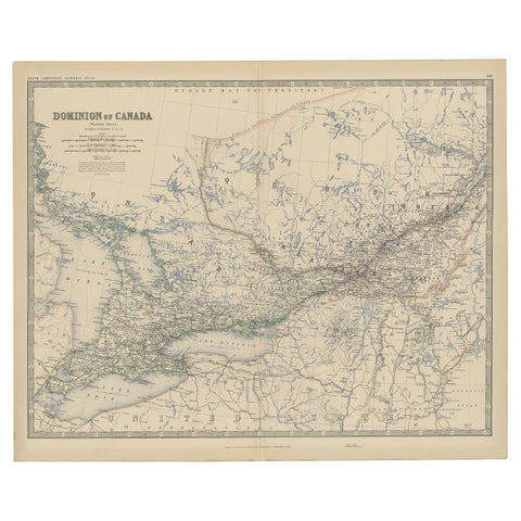
Old Original Antique Map of Western Canada, 1882
1882 · W. & A. K. Johnston
$315
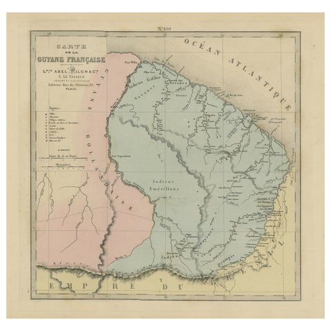
Antique Engraved Map with Original Hand Color of French Guiana, 1876
1876
$315
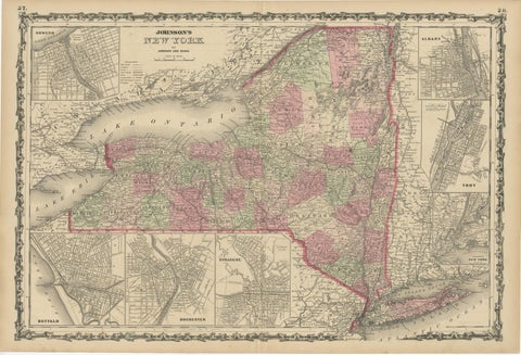
1864 Johnson's Map of New York State with City Insets
1864
$315
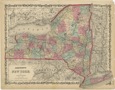
1862 Johnson's Map of New York State by Johnson & Browning
1862 · A. J. Johnson
$315
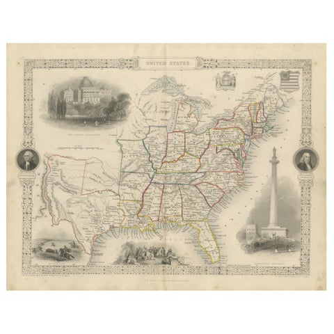
Ornate 1850s Map of the United States: Featuring Iconic Landmarks and Portrets
John Tallis
$315
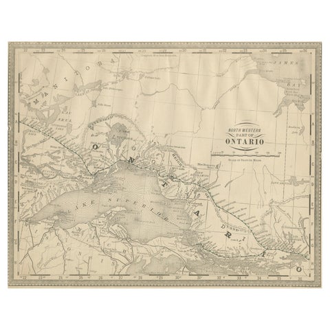
Antique Ontario Map Wall Art – Lake Superior & Northern Ontario, ca.1888
1888 · Rand McNally
$315
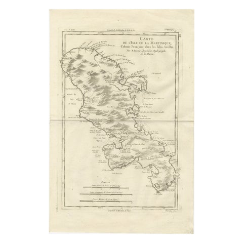
Antique Map Martinique Caribbean Island Chart, Rigobert Bonne French Map, c.1780
1780 · Rigobert Bonne
$315
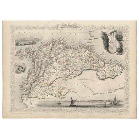
Antique Map of the Northern Part of South America by J. Tallis, circa 1851
1851 · John Tallis
$315

Antique Map of South America ‘North’ by A.K. Johnston, 1865
1865 · W. & A. K. Johnston
$310
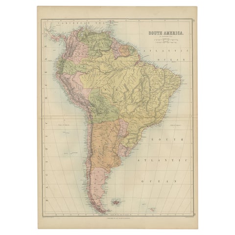
Antique Map of South America by A & C. Black, 1870
1870 · Adam & Charles Black
$310
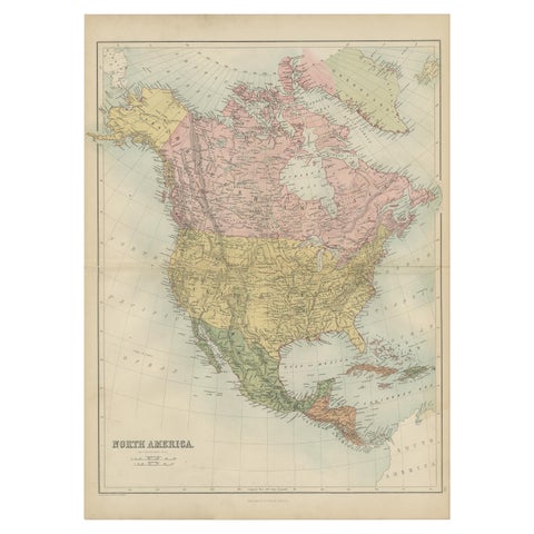
Antique Map of North America by A & C. Black, 1870
1870 · Adam & Charles Black
$310
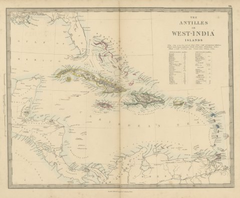
Antique Map of the Antilles or West India Islands with Island Areas, 1858
1858
$300
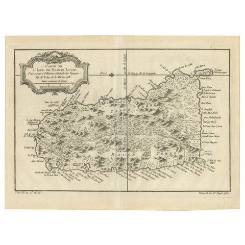
Original Engraved Map of Saint Lucia in the West Indies by Bellin, 1758
1758 · Jacques-Nicolas Bellin
$300
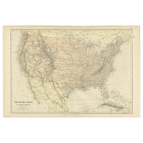
Antique Map of The United States of North America, 1882
1882
$300
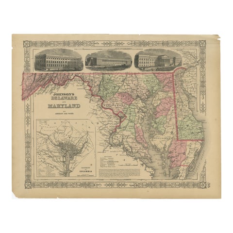
Delaware and Maryland Map – Johnson, Hand-Colored with Insets, 1864
1864
$300