Published in
1850
★ 8 original pieces ★
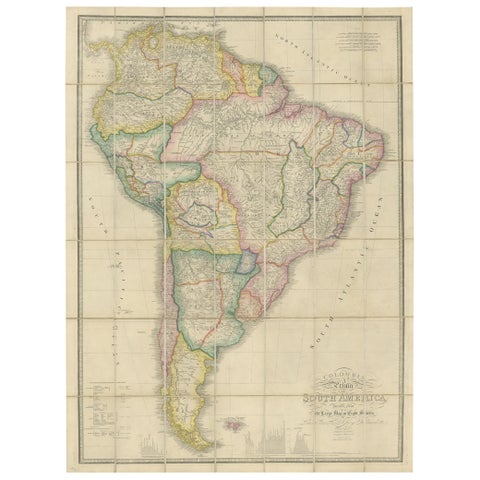
Antique Map of South America by Wyld, circa 1850
1850 · Alexander von Humboldt
$2,185
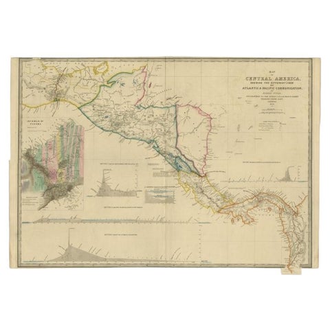
Antique Map of Central America Showing the Communication Lines, 1850
1850
$1,960
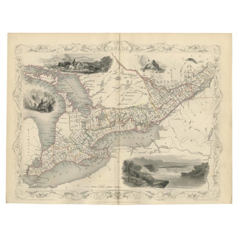
Antique Map of West Canada by Tallis 'c.1850'
1850 · John Tallis
$615
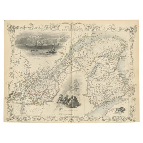
Antique Map of East Canada 'Quebec and New Brunswick' by Tallis 'c.1850'
1850 · John Tallis
$560
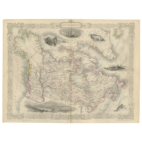
Antique Map of British America by Tallis 'c.1850'
1850 · John Tallis
$560
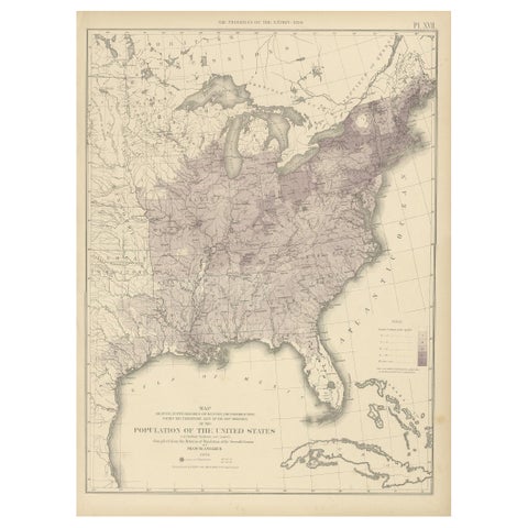
Pl. 17 Antique Chart of the US Population 1850 by Walker, 1874
1850
$505
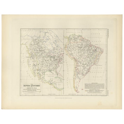
Antique Map of the River Systems of America by Johnston, '1850'
1850 · W. & A. K. Johnston
$225
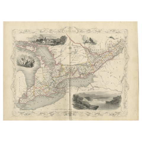
A 19th-Century Map of West Canada with Niagara Falls and Indigenous Scenes
circa 1850 · John Tallis
$125